Twin Falls, ID Current Weather and Forecast
Twin Falls, ID Weather Forecast
2:31 PM MDT Sun Jun 2 2024
TONIGHT - Mostly cloudy. A chance of rain after midnight. Chance
of rain 30 percent. Lows 54 to 59. West winds 10 to 15 mph. Gusts
to 25 mph this evening.
MONDAY - Rain in the morning, then showers with a slight chance
of thunderstorms in the afternoon. Chance of rain 90 percent.
Cooler with highs 65 to 70. Breezy. West winds 10 to 20 mph with
gusts to 30 mph.
MONDAY NIGHT - Decreasing clouds. Lows 45 to 50. Breezy. West
winds 10 to 20 mph with gusts to 30 mph.
TUESDAY - Sunny. Highs 74 to 79. Breezy. West winds 10 to 20 mph
with gusts to 30 mph.
TUESDAY NIGHT - Mostly clear. Lows 51 to 56. West winds 10 to
15 mph. Gusts to 25 mph in the evening.
WEDNESDAY AND WEDNESDAY NIGHT - Clear. Highs 81 to 86. Lows
52 to 57.
THURSDAY - Sunny. Highs 88 to 93.
THURSDAY NIGHT THROUGH SATURDAY...Partly cloudy. Lows 58 to 65.
Highs 90 to 96.
SATURDAY NIGHT AND SUNDAY - Partly cloudy. A slight chance of
showers and thunderstorms. Chance of rain 20 percent. Lows 58 to
63. Highs 88 to 93.
National Weather Service Boise ID
Twin Falls, ID Current Weather Conditions
JOSLIN FLD-MAGIC VALLEY REGL, ID, United States (KTWF) 42-29N 114-29W 1266M
Jun 02, 2024 - 10:53 PM EDT / 2024.06.03 0253 UTC
Wind: from the S (170 degrees) at 3 MPH (3 KT):0
Visibility: 10 mile(s):0
Sky conditions: clear
Temperature: 62.1 F (16.7 C)
Dew Point: 48.0 F (8.9 C)
Relative Humidity: 59%
Pressure (altimeter): 29.83 in. Hg (1010 hPa)
Pressure tendency: 0.00 inches (0.0 hPa) higher than three hours ago
Data:
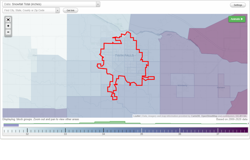
Snowfall Total (inches)
Temperature - Highest of record (°F)
Temperature - Lowest of record (°F)
Mean number of days with minimum temperature 32 °F or lower
Mean number of days with maximum temperature 90 °F or higher
Normal precipitation (inches)
Mean number of days with precipitation 0.01 inches or more
Maximum wind speed (MPH)
Normal daily mean temperature (°F)
Normal cooling degree days, Base 65 °F
Normal heating degree days, Base 65 °F
Normal daily maximum temperature (°F)
Normal daily minimum temperature (°F)
Average percent of possible sunshine (%)
Cloudiness - Mean number of days clear
Cloudiness - Mean number of days partly cloudy
Cloudiness - Mean number of days cloudy
Average relative humidity - Morning (%)
Average relative humidity - Evening (%)
Tornadoes in 1950-2018
Tornadoes in 1950-1954
Tornadoes in 1955-1959
Tornadoes in 1960-1964
Tornadoes in 1965-1969
Tornadoes in 1970-1974
Tornadoes in 1975-1979
Tornadoes in 1980-1984
Tornadoes in 1985-1989
Tornadoes in 1990-1994
Tornadoes in 1995-1999
Tornadoes in 2000-2004
Tornadoes in 2005-2009
Tornadoes in 2010-2014
Tornadoes in 2015-2018
Earthquakes in 2000
Earthquakes in 2001
Earthquakes in 2002
Earthquakes in 2003
Earthquakes in 2004
Earthquakes in 2005
Earthquakes in 2006
Earthquakes in 2007
Earthquakes in 2008
Earthquakes in 2009
Earthquakes in 2010
Earthquakes in 2011
Earthquakes in 2012
Earthquakes in 2013
Earthquakes in 2014
Earthquakes in 2015
Earthquakes in 2016
Earthquakes in 2017
Earthquakes in 2018
Earthquakes in 2019
Earthquakes in 2020
Earthquakes in 2000-2020
Snowfall Total (inches)
Temperature - Highest of record (°F)
Temperature - Lowest of record (°F)
Mean number of days with minimum temperature 32 °F or lower
Mean number of days with maximum temperature 90 °F or higher
Normal precipitation (inches)
Mean number of days with precipitation 0.01 inches or more
Maximum wind speed (MPH)
Normal daily mean temperature (°F)
Normal cooling degree days, Base 65 °F
Normal heating degree days, Base 65 °F
Normal daily maximum temperature (°F)
Normal daily minimum temperature (°F)
Average percent of possible sunshine (%)
Cloudiness - Mean number of days clear
Cloudiness - Mean number of days partly cloudy
Cloudiness - Mean number of days cloudy
Average relative humidity - Morning (%)
Average relative humidity - Evening (%)