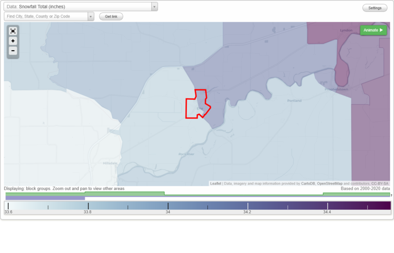
|
Back to Erie detailed profile, Illinois big cities, Illinois smaller cities, Illinois small cities, All US cities.
Erie, IL Weather Forecast
3:21 AM CST FRI DEC 25 2009
..FLOOD WATCH IN EFFECT UNTIL 6 AM CST EARLY THIS MORNING...
TODAY - Blustery. Light rain in the morning‚> - then light snow in
the afternoon. Little or no snow accumulation. High in the lower
40s. Southeast wind 15 to 25 mph shifting to the south in the
afternoon. Gusts up to 35 mph. Chance of precipitation near
100 percent.
TONIGHT - Blustery‚> - colder. Light snow likely. Snow
accumulation up to 1 inch. Low around 20. South wind 15 to 25 mph
with gusts to around 30 mph. Chance of snow 70 percent.
SATURDAY - Colder. Light snow likely. Snow accumulation of 1 to
2 inches. Total snow accumulation 1 to 3 inches. High in the mid
20s. South wind 10 to 15 mph. Chance of snow 70 percent.
SATURDAY NIGHT - Cloudy with a 50 percent chance of light snow.
Low around 18. West wind 10 to 15 mph.
SUNDAY - Mostly cloudy with a 30 percent chance of light snow.
High in the mid 20s. Northwest wind 10 to 20 mph.
SUNDAY NIGHT - Mostly cloudy. Scattered flurries. Low around 16.
MONDAY AND MONDAY NIGHT - Partly cloudy. High in the upper 20s.
Low around 16.
TUESDAY THROUGH THURSDAY - Mostly cloudy. High in the mid 20s.
Low around 18.
NATIONAL WEATHER SERVICE QUAD CITIES IA IL
Erie, IL Current Weather Conditions
Clinton, Clinton Municipal Airport, IA, United States (KCWI) 41-50N 090-20W
Dec 25, 2009 - 09:35 AM EST / 2009.12.25 1435 UTC
Wind: from the ESE (120 degrees) at 17 MPH (15 KT) gusting to 24 MPH (21 KT):0
Visibility: 10 mile(s):0
Sky conditions: mostly cloudy
Precipitation last hour: 0.01 inches
Temperature: 39 F (4 C)
Dew Point: 37 F (3 C)
Relative Humidity: 93%
Pressure (altimeter): 29.25 in. Hg (990 hPa)
|