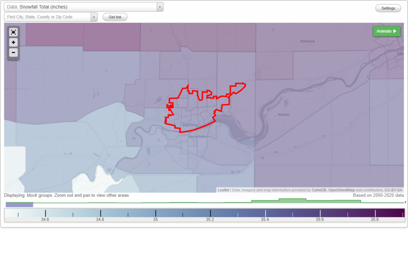
|
Back to Sterling detailed profile, Illinois big cities, Illinois smaller cities, Illinois small cities, All US cities.
Sterling, IL Weather Forecast
3:43 AM CST WED JAN 6 2010
..WINTER STORM WARNING IN EFFECT FROM 6 PM THIS EVENING TO
MIDNIGHT CST THURSDAY NIGHT...
TODAY - Cloudy until late afternoon‚> - then a 20 percent chance
of snow late in the afternoon. High around 18. West wind 5 to
10 mph. Wind chill readings to 15 below in the morning.
TONIGHT - Not as cold. Snow likely in the evening‚> - then snow
after midnight. Snow accumulation around 4 inches. Low around 13.
Light wind becoming northwest around 5 mph after midnight. Chance
of snow near 100 percent.
THURSDAY - Snow. Snow accumulation of 4 to 5 inches. Total snow
accumulation 8 to 9 inches. High around 15. Northwest wind 10 to
15 mph. Gusts up to 25 mph in the afternoon. Chance of snow near
100 percent. Wind chill readings to 5 below.
THURSDAY NIGHT - Blustery. Cloudy with a 50 percent chance of
snow. Areas of blowing snow. Low around 4. Northwest wind 15 to
25 mph. Wind chill readings to 17 below.
FRIDAY - Cloudy. High around 6. Northwest wind 10 to 20 mph.
Wind chill readings to 18 below.
FRIDAY NIGHT - Mostly cloudy in the evening then becoming partly
cloudy. Low around 5 below.
SATURDAY - Mostly sunny. High around 9.
SATURDAY NIGHT AND SUNDAY - Mostly clear. Low around 2 below.
High around 18.
SUNDAY NIGHT THROUGH TUESDAY - Partly cloudy. Low around 12.
High in the mid 20s.
NATIONAL WEATHER SERVICE QUAD CITIES IA IL
Sterling, IL Current Weather Conditions
Sterling Rockfalls, IL, United States (KSQI) 41-45N 089-40W
Jan 06, 2010 - 09:35 AM EST / 2010.01.06 1435 UTC
Wind: from the SW (220 degrees) at 5 MPH (4 KT):0
Visibility: 9 mile(s):0
Sky conditions: clear
Temperature: -4 F (-20 C)
Windchill: -14 F (-26 C):2
Dew Point: -9 F (-23 C)
Relative Humidity: 76%
Pressure (altimeter): 30.26 in. Hg (1024 hPa)
|