Sunnyslope, WA Current Weather and Forecast
Sunnyslope, WA Weather Forecast
3:48 PM PDT Wed Apr 24 2024
TONIGHT - Mostly clear in the evening, becoming mostly cloudy.
Lows in the upper 30s to lower 40s. Windy. West wind 15 to 25 mph
with gusts up to 35 mph decreasing to 5 to 15 mph with gusts up
to 25 mph overnight.
THURSDAY - Mostly cloudy. A chance of rain showers. Highs in the
mid 50s to lower 60s. South wind 5 to 15 mph with gusts up to
25 mph in the afternoon. Chance of precipitation 50 percent.
Rainfall amounts less than a tenth of an inch.
THURSDAY NIGHT - Cloudy. A chance of rain showers. Lows in the
lower to mid 40s. South wind 5 to 15 mph in the evening, becoming
light and variable. Gusts up to 25 mph. Chance of precipitation
50 percent. Rainfall amounts less than a tenth of an inch.
FRIDAY - Mostly cloudy with a 50 percent chance of rain showers.
Highs in the mid 50s to lower 60s.
FRIDAY NIGHT - Mostly cloudy. Lows in the lower to mid 40s.
SATURDAY THROUGH MONDAY - Mostly cloudy. Highs in the mid 50s to
mid 60s. Lows in the upper 30s to mid 40s.
MONDAY NIGHT THROUGH TUESDAY NIGHT...Partly cloudy. Lows in the
mid to upper 30s. Highs in the mid 50s to lower 60s.
WEDNESDAY - Partly cloudy with a 20 percent chance of rain
showers. Highs in the upper 50s to lower 60s.
National Weather Service Spokane WA
Sunnyslope, WA Current Weather Conditions
WENATCHEE PANGBORN MEMO, WA, United States (KEAT) 47-24N 120-12W 377M
Apr 24, 2024 - 10:55 PM EDT / 2024.04.25 0255 UTC
Wind: from the NW (310 degrees) at 9 MPH (8 KT):0
Visibility: 10 mile(s):0
Sky conditions: mostly cloudy
Temperature: 59.0 F (15.0 C)
Dew Point: 35.1 F (1.7 C)
Relative Humidity: 40%
Pressure (altimeter): 29.89 in. Hg (1012 hPa)
Data:
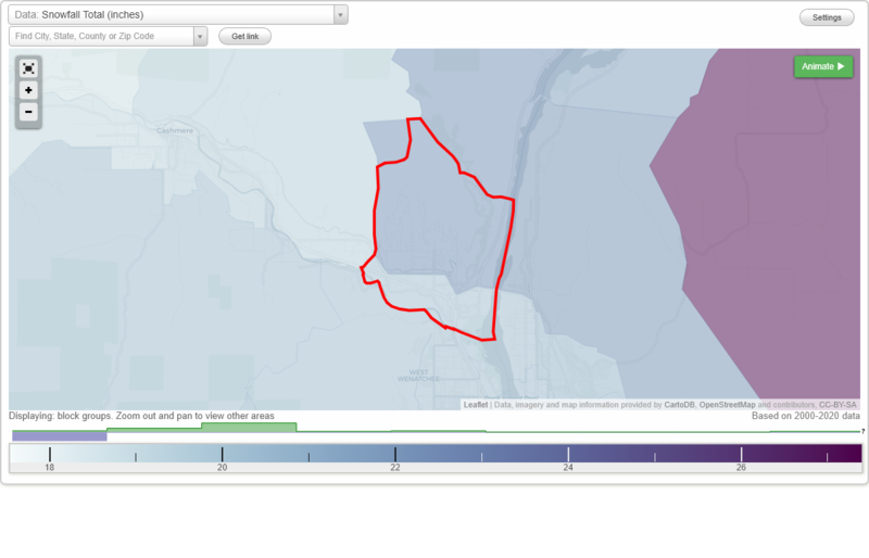
Snowfall Total (inches)
Temperature - Highest of record (°F)
Temperature - Lowest of record (°F)
Mean number of days with minimum temperature 32 °F or lower
Mean number of days with maximum temperature 90 °F or higher
Normal precipitation (inches)
Mean number of days with precipitation 0.01 inches or more
Maximum wind speed (MPH)
Normal daily mean temperature (°F)
Normal cooling degree days, Base 65 °F
Normal heating degree days, Base 65 °F
Normal daily maximum temperature (°F)
Normal daily minimum temperature (°F)
Average percent of possible sunshine (%)
Cloudiness - Mean number of days clear
Cloudiness - Mean number of days partly cloudy
Cloudiness - Mean number of days cloudy
Average relative humidity - Morning (%)
Average relative humidity - Evening (%)
Tornadoes in 1950-2018
Tornadoes in 1950-1954
Tornadoes in 1955-1959
Tornadoes in 1960-1964
Tornadoes in 1965-1969
Tornadoes in 1970-1974
Tornadoes in 1975-1979
Tornadoes in 1980-1984
Tornadoes in 1985-1989
Tornadoes in 1990-1994
Tornadoes in 1995-1999
Tornadoes in 2000-2004
Tornadoes in 2005-2009
Tornadoes in 2010-2014
Tornadoes in 2015-2018
Earthquakes in 2000
Earthquakes in 2001
Earthquakes in 2002
Earthquakes in 2003
Earthquakes in 2004
Earthquakes in 2005
Earthquakes in 2006
Earthquakes in 2007
Earthquakes in 2008
Earthquakes in 2009
Earthquakes in 2010
Earthquakes in 2011
Earthquakes in 2012
Earthquakes in 2013
Earthquakes in 2014
Earthquakes in 2015
Earthquakes in 2016
Earthquakes in 2017
Earthquakes in 2018
Earthquakes in 2019
Earthquakes in 2020
Earthquakes in 2000-2020
Snowfall Total (inches)
Temperature - Highest of record (°F)
Temperature - Lowest of record (°F)
Mean number of days with minimum temperature 32 °F or lower
Mean number of days with maximum temperature 90 °F or higher
Normal precipitation (inches)
Mean number of days with precipitation 0.01 inches or more
Maximum wind speed (MPH)
Normal daily mean temperature (°F)
Normal cooling degree days, Base 65 °F
Normal heating degree days, Base 65 °F
Normal daily maximum temperature (°F)
Normal daily minimum temperature (°F)
Average percent of possible sunshine (%)
Cloudiness - Mean number of days clear
Cloudiness - Mean number of days partly cloudy
Cloudiness - Mean number of days cloudy
Average relative humidity - Morning (%)
Average relative humidity - Evening (%)