Please register to participate in our discussions with 2 million other members - it's free and quick! Some forums can only be seen by registered members. After you create your account, you'll be able to customize options and access all our 15,000 new posts/day with fewer ads.
No I know i've driven through north daykota. But I didn't think that conetitcut. Being so close to the sea and on the east coast would have such a sparse population.
No I know i've driven through north daykota. But I didn't think that conetitcut. Being so close to the sea and on the east coast would have such a sparse population.
The white areas you see are either undeveloped rural lands or farms. The red are the urban and suburban population areas. As you can see most of the map is sparsely populated, and this is the most densely populated region of the US
After reading about the population density being posted I got curious and looked my area up. We are at 49 people per square mile. In the summer that jumps with all the tourists and weekend lake people, but in general only 49 normally.
While we're on the tangent of population density...
The London borough I live in: 7602/sq km, or 19,681/sq mi
The borough I work in: 13,065/sq km or 33,823/sq mi
The 17 densest boroughs in England, and 23 of the top 26 are all in London!
The borough I grew up in, Craven in North Yorkshire: 47/sq km or 120/sq mi
If the US has 87 per square mile on average then only one of the 326 boroughs in England has a lower population density than the US average, somewhere with the apt name of 'Eden', with 25 per sq km/64 per sq miles.
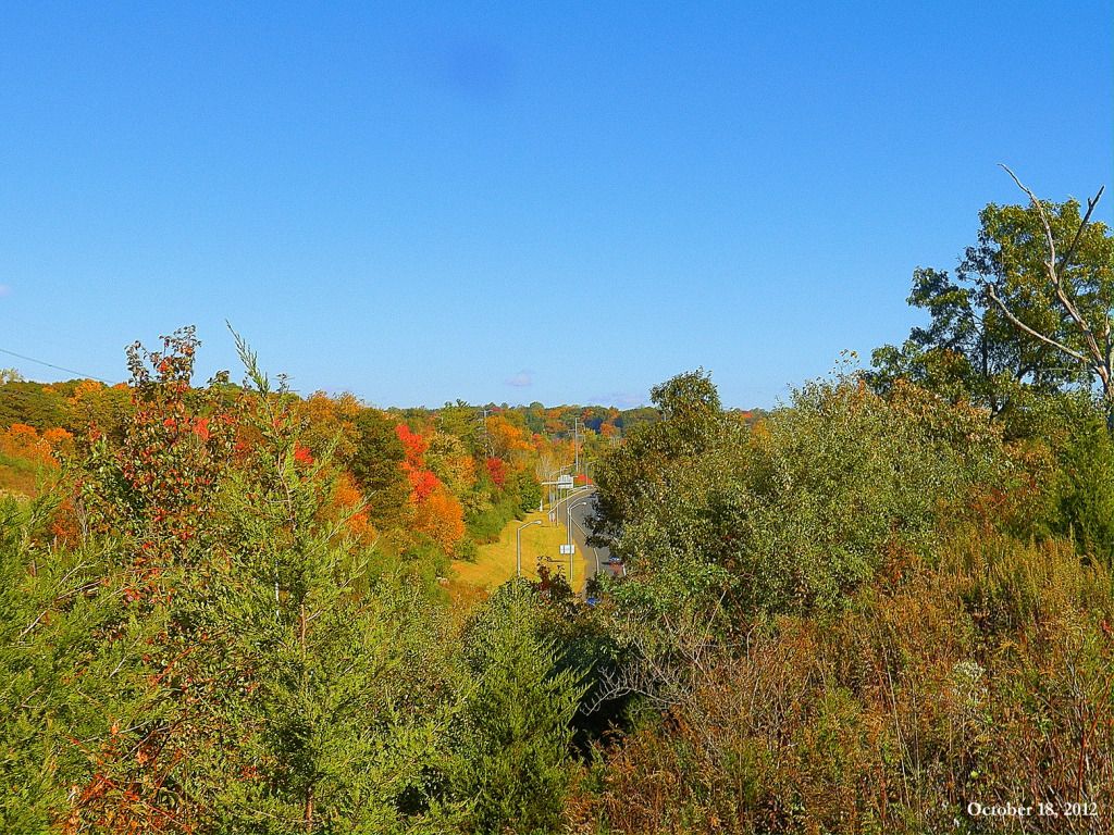
Massachusetts is one of the denser places in the country @ 840 people / sq mile. But most of the population is in the eastern part of the state. And within the western part of the state, there are rather large variations in density. I live in a red spot from unbrainwashed's map, neighborhood is around 8,000 / sq mile, the whole town is around 1,000 / sq mile partly because lots of undeveloped land is included in the boundaries. The counties I biked through averaged around 167 people / sq mile, but the population is concentrated in the river valleys (where I live as well as the town I photographed). In between in the hills (most of my photos) is sparsely settled, much of it 25-50 / sq mile. Lower than just about anywhere in England. I was surprised to see few places France at that density, even in mountainous areas.
On my trip I passed by an abandonded "village green". Tiny settlement up in the hills all that's left is stone walls though there are scattered houses and farms in the area, much of the land isn't used.
Edit: The photos from this trip wen through a larger density range than anything possible in England. The Massachusetts part was around 35 / sq mile, and most of the NY portion around 70 / sq mile, but the final spot was around 70,000 / sq mile.
No I know i've driven through north daykota. But I didn't think that conetitcut. Being so close to the sea and on the east coast would have such a sparse population.
Btw, my photos were all in Massachusetts. Connecticut does have less sparsely populated areas.
Please register to post and access all features of our very popular forum. It is free and quick. Over $68,000 in prizes has already been given out to active posters on our forum. Additional giveaways are planned.
Detailed information about all U.S. cities, counties, and zip codes on our site: City-data.com.

 Please register to participate in our discussions with 2 million other members - it's free and quick! Some forums can only be seen by registered members. After you create your account, you'll be able to customize options and access all our 15,000 new posts/day with fewer ads.