Please register to participate in our discussions with 2 million other members - it's free and quick! Some forums can only be seen by registered members. After you create your account, you'll be able to customize options and access all our 15,000 new posts/day with fewer ads.
Some interesting temperature gradients in the country today. 70s and 80s, well into Ohio, but Cleveland and Toledo are sitting in the lower 50s. West Burlington, Iowa is sitting at 76 F, but Des Moines is at 48 F. 70s is Southeast Kansas, but teens in the western part of the state. Earlier today it was 75 F in Middletown, NY but only 39 F in Saranac Lake, NY.
Texas enters temperatures into the 100s! Here's one for you. This morning we saw Nebraska one end in the 60s, the other in the teens. How about Texas? SouthWest TX in the 100s, Northern TX in the 30s. http://www.srh.noaa.gov/crp/?n=observations
That just goes to show how huge Texas is. Anyway, here's some trivia. Looking at the map of detected lightning strikes, there are only two clusters of thunderstorms in the U.S. today - one associated with the Kansas/Nebraska ice storm, and one associated with rain in Michigan and Ontario. The one in the Plains is at 20-30F and the Michigan rain is 40-50F, so all (or almost all) of the thunder that is currently occurring in the whole country is occurring concurrently with sub-50F temperatures. That's rare.
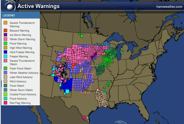
I also noticed 2 more thunderstorm alerts in the freezing rain and snow zone after the ones I posted earlier. All of the current alerts are for places that are above freezing, but the current threat zone temperatures of 40F or 46F are still pretty cold for a severe thunderstorm.
Some interesting temperature gradients in the country today. 70s and 80s, well into Ohio, but Cleveland and Toledo are sitting in the lower 50s. West Burlington, Iowa is sitting at 76 F, but Des Moines is at 48 F. 70s is Southeast Kansas, but teens in the western part of the state. Earlier today it was 75 F in Middletown, NY but only 39 F in Saranac Lake, NY.
I gotta tell you... I love when all you guys mention things on the map. Its very cool cause 99% of the time I dont see what you see. Yeah, that 39 is on Lake Erie. Station is S.E Shoal? I cant find a link. Probably a buoy.
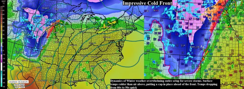
I am completely impressed. I havent seen this ( at least dont remember) this strong of a cold front that even with the heat there's no severe storms being produced.
Temps are dropping from 80s to 50s in an hour or so and then some places into the 30s and snowflakes to fall.
It's not common to see this in such short distances.
Here's a closeup.. Basically whats happening is the air is getting cold at the surface while its warm up above and so thats putting a cap on any thunderstorms to develop ahead of the front.
In fact most if not all the Watches and Warnings are "behind" the front in the cold air, not the warm air.
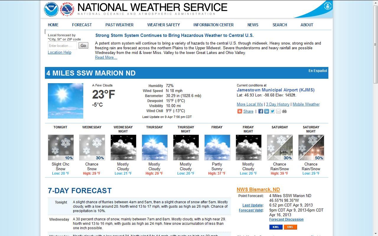
The forecast for Marion ND click on image for link-back to source for updates and extended forecaxt.
Current conditions Banner
Please register to post and access all features of our very popular forum. It is free and quick. Over $68,000 in prizes has already been given out to active posters on our forum. Additional giveaways are planned.
Detailed information about all U.S. cities, counties, and zip codes on our site: City-data.com.

 Please register to participate in our discussions with 2 million other members - it's free and quick! Some forums can only be seen by registered members. After you create your account, you'll be able to customize options and access all our 15,000 new posts/day with fewer ads.