Fall 2013 Thread — Northern Hemisphere (snowfall, warm, average, temperature)
Please register to participate in our discussions with 2 million other members - it's free and quick! Some forums can only be seen by registered members. After you create your account, you'll be able to customize options and access all our 15,000 new posts/day with fewer ads.
Why? Because it's an interesting possibilty that's fun to track. No one's claiming it's real. It's a weather forum, not an official forecasting group. If you're not interested, you don't have to watch. I often ignore them until the posts untitl the models seem more certain. Still, it's nice to see really early forecasts in the making.
...I DID say it was fun to watch in my post didn’t I?
…and I never said it was an official forecasting group did I?
What I did say was… that the consistent throwing out of wild, VERY low probability events… and trying to hoodwink people into believing that these computer generated fantasies have a chance of occurring… hurts meteorology as a science. It’s the way science works.
Quote:
Originally Posted by nei
That's just silly. Weather forecasting quality and accuracy have improved dramatically mainly because of models. It's how meterology works:
NO that's NOT how meterology works:
Computer models have made weather forecasting more accurate…but the misuse , bias, hype, back and forth changing forecasts…etc have mitigated any benefit to the general public. Most people never take what the TV weatherperson says seriously anymore beyond 48 hrs. – because they have learned that the consistent “fantasy forecasts” or biased interpretations of these models rarely leads to what they are told down the road. So the models have done squat for the public in their need for only wanting to get an accurate forecast. It’s the way marketing works.
Quote:
Originally Posted by nei
And as Cambium posted, regional climatology does support snow in the northeast in November. Not every year, but it does happen.
Once again you attempt to twist my words:
What I said was that regional climatology does NOT support “snowstorms” (6 inches of snow or greater) in MUCH of Northeast in November. Long term NOAA climate seem data prove that.
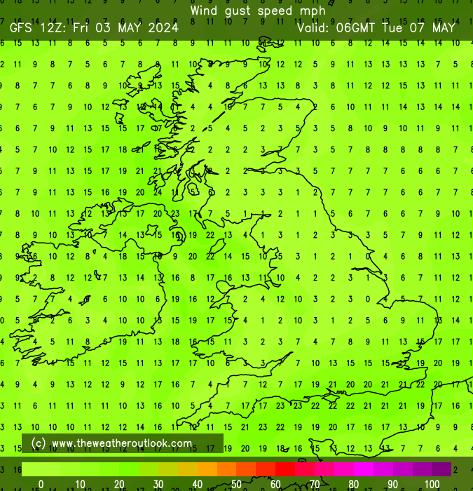
Deep area of low pressure expected to hit Southern England and Wales on Monday. Gale force winds, heavy rain, flooding and maybe storm surges.
The weather channel is naming this potential storm the ''St Jude's day storm''
Diagram of jet stream and the area of low pressure being steered by the upper level winds.
Quote:
Gusts of 70 to 90mph still look a high risk with structural damage possible, the strongest winds only lasting two or three hours and transferring quickly eastwards during the day. Central England and East Anglia may see a spell of gale force winds from the west in the afternoon with gusts to 60 or 70mph.The storm will also bring some heavy precipitation with between 25 to 40mm expect over the SW, Wales and northern England. Since the ground is near saturated in these western areas there will be a risk of local flooding.
Seems like your not knowledgeable about the way models work (which is fine) but it seems like your unwilling to learn (which is fine too).
EVERY SINGLE FORECAST you look at is based off a model or models. Period. Not climo. Not picked from a hat.
before it becomes a "forecast" it is a "potential". Even the dry forecasts were a "potential" at one point shown only by 1 run, 1 model.
But I guess if there's no snow in there, its ok to say??
2 weeks ago the GFS was showing Sunny and dry for this coming Tuesday. 1 run, 1 model. It's coming true now... Why? Because eventually it became multiple models and multiple runs. Called consistency.
Point is... the data that the models injested for a particular run came out with a solution shown to us and are available. These "interesting" solutions have to be watched because as we've seen they sometimes become a reality. I can bore you with proof of this but that's something you just need to grasp.
On the flip side....
Why say this?
Posted November 13, 2012
Quote:
Originally Posted by wavehunter007
The FACT is that the pattern looks to have ABSOULTLY NO BELOW NORMAL COLD TEMPS for the eastern USA in the coming 2 to 3 weeks.
and it ended up the Top 10 coldest Novembers.
Posted November 5, 2012
Quote:
Originally Posted by wavehunter007
According to the NWS - the storm on Wed will bring RAIN for the Tri-State area.
and it ended up biggest November snowstorm for Bridgeport that I kept saying models were showing
Posted December 16, 2011
Quote:
Originally Posted by wavehunter007
The storm will head out to sea...only far Cape Cod will see something (about a 10% chance as of right now).
Quote:
Originally Posted by wavehunter007
long term averages...a real “blizzard “ is likely a very long shot.
and it ended up a major blizzard on the 26th that models showed a week before
Posted October 14,2013
Quote:
Originally Posted by wavehunter007
Still, I see no below normal cold for the Tri-State area at least to mid November...so we all should save a bit on heating for the next 30 days or so:
Its the same song and dance you try every year without reasonable reasons why you make statements like that. That's the true hype. Same as those Facebook pages who guarantee a snowstorm next week. Its the same thing. Your making claims that are flat out not supported.
I've seen (via twitter) as much as 5-6 inches in some spots, Cleveland itself has about 2-4 inches.
Any accumulation or it like here where its been snowing from about 10:30 to 1:30 but melting as it hits the ground? Supposedly areas closer to Lake Huron/Georgian Bay got several inches of accumulation.
There is no "snowstorm" or blizzards in the works. This is just residual moisture from the front and a deteriorate system moving across. So light stuff here and there from higher elevations of Kentucky to PA..
This could turn out to be a good ski season at places like Camelback in PA. PA ski resorts need a good year after so many bad ones.
Still looks like Fall there (around 100 plus mile north of here).
Model Update on next weeks storm. Confidence growing that there will be a storm but the track "I believe" will cut towards the Great lakes. That would mean warm & Rain for the East or seasonable and dry depending how far west it goes.
Both EURO and GFS agree it cuts into the Great Lakes.
Here's GFS at hr 144 October 30th. Notice 2 things. There's 2 storms. One already headed to the great lakes and another one forming down south. This shows snow in Kansas.
Here's Euro hr 192 Nov 1st. Blizzard to the upper Midwest with this.
So whether its 1 or 2 storms .... both models are showing a storm to happen. Now we watch the track and timing of it.... then figure out the temps and precip type and how much liquid its showing. But notice the East most solution is gone. Scratch that scenario. This is more likely now.
528dam
-3c uppers saturday don't know if that would produce snow.
Please register to post and access all features of our very popular forum. It is free and quick. Over $68,000 in prizes has already been given out to active posters on our forum. Additional giveaways are planned.
Detailed information about all U.S. cities, counties, and zip codes on our site: City-data.com.

 Please register to participate in our discussions with 2 million other members - it's free and quick! Some forums can only be seen by registered members. After you create your account, you'll be able to customize options and access all our 15,000 new posts/day with fewer ads.


 Seems like your not knowledgeable about the way models work (which is fine) but it seems like your unwilling to learn (which is fine too).
 ")