Please register to participate in our discussions with 2 million other members - it's free and quick! Some forums can only be seen by registered members. After you create your account, you'll be able to customize options and access all our 15,000 new posts/day with fewer ads.
Severe outbreak possible tomorrow. It seems like Memphis is always in the center of the highest risk area. I'm by the southern edge of "significant severe threat" and within the 30% risk area.
Storms forming today over Texas will be part of it. deep southwest flow throughout the atmosphere will continue to feed moisture & high dewpoints into the Tennessee Valley and make conditions favorable.
Quote:
Originally Posted by snj90
I'm not looking forward to the warmth that's coming this way Tuesday and Wednesday. Temperatures near 80, warm nights, thunderstorms. Hate all of that.
Yup.. Ugh. Thursday afternoon temps from NAM model. But it starts Tuesday so we'll have a couple days of
Storms forming today over Texas will be part of it. deep southwest flow throughout the atmosphere will continue to feed moisture & high dewpoints into the Tennessee Valley and make conditions favorable.
Yup.. Ugh. Thursday afternoon temps from NAM model. But it starts Tuesday so we'll have a couple days of
Terrible forecast this week. Unexpected too. Just yesterday they were forecasting low 70s. Now almost 80?
"Snow on Sunday for most of Colorado. The mountains passes will be snow covered and the freezing level should get down to most mountain bases by evening. The highest totals will be 5-7+ inches over northern Colorado, with 2-4 inches for central Colorado and a few inches in the northern San Juans. Then it looks like dry and sunny weather starting on Monday and continuing for about 10 days
After the band of heavier snow in the AM, we'll see snow showers through the rest of Sunday into Sunday night with another few inches of accumulation and cooler temperatures. Flakes should fall down to 7,000-8,000 so there could be some accumulation at the base of many ski areas. The highest snow totals will be along and north of I-70 with about 6 inches or a bit more, while the snowfall decreases south of I-70 toward the San Juans. The map below is from our Powder Finder and shows the National Weather Service forecast (amounts look pretty good to me)."
This map is from here. You can zoom in and click the stations. Is that 80s in south Florida?? That should be illegal in October. That's just not fair to them. LOL
Wednesday is the last time Ft. Lauderdale was below 80.
Daily minimum temps at FLL:
Oct 8: 76º
Oct 9: 80º
Oct 10: 80º
Oct 11: 80º
Oct 12: 81º
This is based on Weather Underground history for the international airport, it appears Nowdata uses a cooler station (maybe the executive airport FXE) so I can't say if it is a record or not.
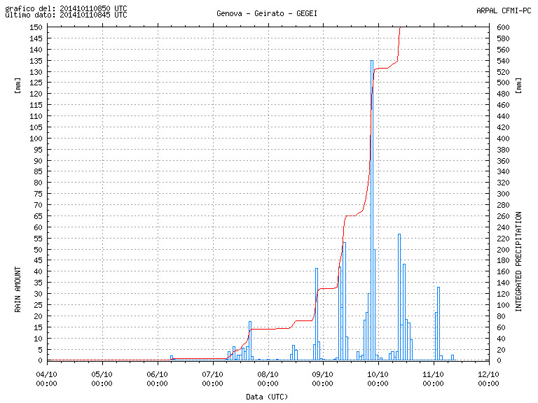
if wiki is correct that's 70% of the average annual precipitation total.
Please register to post and access all features of our very popular forum. It is free and quick. Over $68,000 in prizes has already been given out to active posters on our forum. Additional giveaways are planned.
Detailed information about all U.S. cities, counties, and zip codes on our site: City-data.com.

 Please register to participate in our discussions with 2 million other members - it's free and quick! Some forums can only be seen by registered members. After you create your account, you'll be able to customize options and access all our 15,000 new posts/day with fewer ads.


 \
\

") That should be illegal in October. That's just not fair to them. LOL
That should be illegal in October. That's just not fair to them. LOL