Tonight: Mostly clear, with a low around 7. West wind around 5 mph becoming calm.
Sunday: A slight chance of snow before 2pm, then rain and snow likely. Patchy fog after 4pm. Otherwise, increasing clouds, with a high near 35. Calm wind becoming south between 4 and 7 mph. Chance of precipitation is 70%. Little or no snow accumulation expected.
Sunday Night: Rain, snow, and freezing rain before 2am, then a slight chance of freezing rain between 2am and 4am. Patchy fog before 7pm, then Patchy fog between 9pm and 3am. Low around 28. South wind at 7 mph becoming northwest. Chance of precipitation is 80%. New snow accumulation of less than a half inch possible.
Monday: Mostly sunny, with a high near 41. Northwest wind around 6 mph becoming calm.
Monday Night: Snow likely, mainly after 4am. Patchy fog between 1am and 2am. Otherwise, mostly cloudy, with a low around 27. Calm wind. Chance of precipitation is 60%.
Tuesday: Snow likely before noon, then rain likely, possibly mixed with snow showers. Cloudy, with a high near 36. Chance of precipitation is 60%. New precipitation amounts between a tenth and quarter of an inch possible.
Tuesday Night: A chance of snow showers before 1am. Mostly cloudy, with a low around 21. Chance of precipitation is 40%.
Wednesday: Mostly sunny, with a high near 29.
Wednesday Night: Mostly clear, with a low around 8.
Thursday: Sunny, with a high near 24.
Thursday Night: Mostly clear, with a low around 6.
Friday: Mostly sunny, with a high near 28.
Friday Night: Mostly cloudy, with a low around 9.
Saturday: A chance of snow. Cloudy, with a high near 25. Chance of precipitation is 30%.

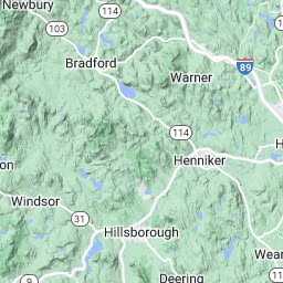
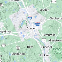
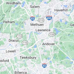
Click Map for Forecast
Disclaimer[LEFT]


[RIGHT]
Map data ©2009 Google - Terms of Use[/RIGHT]
[CENTER]Map
Satellite
[LEFT]Show labels
[/LEFT]
Terrain
[/CENTER]

[/LEFT]
 Lat/Lon:
 43.1°N 71.7°W
Elevation:449 ft


[RIGHT]view
Yesterday's Weather[/RIGHT]
Concord Municipal Airport
Lat: 43.21 Lon: -71.5 Elev: 346
Last Update on Dec 12, 6:51 pm EST
Fair
21 °F
(-6 °C)
Humidity:62 %
Wind Speed:SW 3 MPH
Barometer:30.43" (1031.1 mb)
Dewpoint:10 °F (-12 °C)
Visibility:10.00 mi.
More Local Wx:
3 Day History:


 Forecast DiscussionAir Quality ForecastsPrintable ForecastText Only ForecastHourly Weather GraphTabular ForecastQuick ForecastInternational System of UnitsAbout Point ForecastsHazardous WeatherRegional Weather ConditionsPast Weather InformationInteractive Forecast MapHomeWebmaster
National Weather Service:
Taunton, MA

 Please register to participate in our discussions with 2 million other members - it's free and quick! Some forums can only be seen by registered members. After you create your account, you'll be able to customize options and access all our 15,000 new posts/day with fewer ads.


 A freezing overcast crappy 18C/63F at midday
