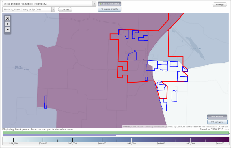
Decatur, Arkansas Neighborhood Map - Income, House Prices, Occupations, Boundaries
Data:
- City boundary
- Neighborhood boundaries
Business Search - 14 Million verified businesses
Neighborhoods:
Bailey Estates,
Cackleberry Hill,
Chastain Acres,
Corner Springs,
Decatur Industrial Park,
Glenwood,
Grandview,
Grant Springs,
Northwest Park,
Oak Park,
Saint Elmo,
Southside,
Twin Pines,
Wards Southside,
Western Estates,
Wolf Creek Ridge,
York City
Corner Springs neighborhood in Decatur statistics: (
Find on map)
Area: 0.060
square milesHighways in this neighborhood: S Main Street (Decater) (S Main St, State Hwy 59).
Roads and streets: 3rd St; Church Ave; Hill Ave; Buckner Ave; 5th St; 4th St; Wilmoth Ave.
Railroad features: Kansas City Southern Rlwy.
Other features: Decatur Br.
Corner Springs neighborhood detailed profile
- All U.S. Cities
- Arkansas, AR smaller cities, AR small cities
- Decatur, AR
- US Neighborhood Maps
- Decatur, Arkansas Neighborhood Map

