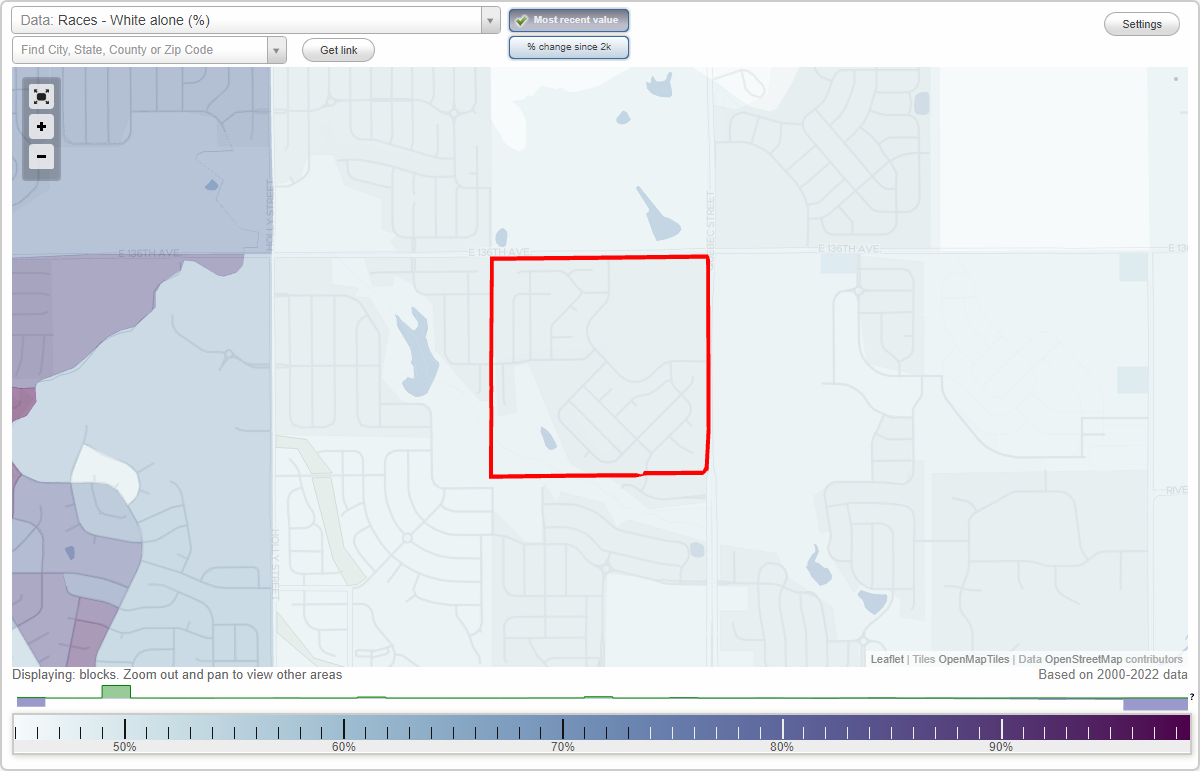
Amber Creek neighborhood in Brighton, Colorado (CO), 80601 detailed profile
Settings
X

Business Search - 14 Million verified businesses
Area: 0.243 square miles
City-data.com crime index for city in 2020 (higher means more crime):
| City: | 304.4 |
| U.S. average: | 219.5 |
Roads and streets:
Newport St
Length: 0.39 miles
Directions: E-W, N-S, SE-NW, SW-NE
Directions: E-W, N-S, SE-NW, SW-NE
E 134th Ave
Length: 0.32 miles
Directions: E-W, SW-NE
Directions: E-W, SW-NE
Olive Way
Length: 0.32 miles
Directions: N-S, SE-NW, SW-NE
Directions: N-S, SE-NW, SW-NE
Olive St
Length: 0.31 miles
Directions: N-S, SW-NE
Directions: N-S, SW-NE
E 135th Ave
Length: 0.30 miles
Directions: E-W, SE-NW
Directions: E-W, SE-NW
E 133rd Pl
Length: 0.27 miles
Direction: SE-NW
Direction: SE-NW
E 133rd Ave
Length: 0.21 miles
Direction: SE-NW
Direction: SE-NW
Magnolia St
Length: 0.18 miles
Direction: N-S
Direction: N-S
Oneida St
Length: 0.18 miles
Directions: E-W, SW-NE
Directions: E-W, SW-NE
Niagara St
Length: 0.18 miles
Directions: N-S, SW-NE
Directions: N-S, SW-NE
Newport Way
Length: 0.17 miles
Direction: SW-NE
Direction: SW-NE
Monaco St
Length: 0.14 miles
Direction: N-S
Direction: N-S
Magnolia Ct
Length: 0.14 miles
Direction: N-S
Direction: N-S
E 135th Pl
Length: 0.13 miles
Direction: E-W
Direction: E-W
Monaco Ct
Length: 0.09 miles
Direction: N-S
Direction: N-S
133rd Ct
Length: 0.09 miles
Direction: SE-NW
Direction: SE-NW
E 135th Ln
Length: 0.07 miles
Directions: E-W, SW-NE
Directions: E-W, SW-NE
Newport Cir
Length: 0.05 miles
Direction: SW-NE
Direction: SW-NE