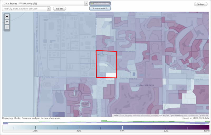
Castlewood neighborhood in Pompano Beach, Florida (FL), 33065 detailed profile
Settings
X

Business Search - 14 Million verified businesses
Area: 0.123 square miles
City-data.com crime index for city in 2020 (higher means more crime):
| City: | 370.5 |
| U.S. average: | 219.5 |
Highways in this neighborhood:
State Hwy 834 (W Sample Rd)
Length: 0.17 miles
Direction: E-W
Address range: 11326 to 11499
Direction: E-W
Address range: 11326 to 11499
Roads and streets:
NW 114th Ln
Length: 0.36 miles
Directions: N-S, SW-NE
Address range: 3400 to 3799
Directions: N-S, SW-NE
Address range: 3400 to 3799
NW 37th St
Length: 0.28 miles
Directions: E-W, SE-NW
Address range: 11300 to 11698
Directions: E-W, SE-NW
Address range: 11300 to 11698
NW 116th Ter
Length: 0.24 miles
Directions: N-S, SE-NW
Address range: 3500 to 3799
Directions: N-S, SE-NW
Address range: 3500 to 3799
NW 35th St
Length: 0.21 miles
Directions: E-W, SE-NW
Address range: 11400 to 11699
Directions: E-W, SE-NW
Address range: 11400 to 11699
NW 114th Ave
Length: 0.16 miles
Directions: N-S, SE-NW, SW-NE
Address range: 3600 to 3799
Directions: N-S, SE-NW, SW-NE
Address range: 3600 to 3799
NW 115th Ave
Length: 0.16 miles
Directions: N-S, SW-NE
Address range: 3700 to 3899
Directions: N-S, SW-NE
Address range: 3700 to 3899
NW 36th St
Length: 0.13 miles
Directions: E-W, SE-NW
Address range: 11500 to 11699
Directions: E-W, SE-NW
Address range: 11500 to 11699
NW 38th St
Length: 0.11 miles
Directions: E-W, SE-NW
Address range: 11370 to 11499
Directions: E-W, SE-NW
Address range: 11370 to 11499
NW 39th St
Length: 0.10 miles
Direction: E-W
Address range: 11500 to 11599
Direction: E-W
Address range: 11500 to 11599
NW 35th Ct
Length: 0.05 miles
Direction: E-W
Address range: 11500 to 11699
Direction: E-W
Address range: 11500 to 11699
NW 114th Ter
Length: 0.05 miles
Directions: N-S, SW-NE
Address range: 3500 to 3599
Directions: N-S, SW-NE
Address range: 3500 to 3599
NW 115th Way
Length: 0.04 miles
Direction: N-S
Address range: 3700 to 3799
Direction: N-S
Address range: 3700 to 3799