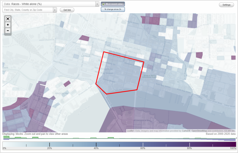
Central Civic Core District neighborhood in Jacksonville, Florida (FL), 32202, 32204 detailed profile
Settings
X

Business Search - 14 Million verified businesses
Area: 0.243 square miles
Highways in this neighborhood:
State Hwy 228 (W Bay St, State Hwy 228, US Hwy 17, W Bay St)
Length: 0.53 miles
Direction: E-W
Address range: 1 to 599
Direction: E-W
Address range: 1 to 599
State Hwy 228 (Broad St, State Hwy 228, US Hwy 17, Broad St)
Length: 0.45 miles
Directions: N-S, SW-NE
Address range: 1 to 399
Directions: N-S, SW-NE
Address range: 1 to 399
State Hwy 115 (N Pearl St)
Length: 0.22 miles
Direction: N-S
Address range: 1 to 399
Direction: N-S
Address range: 1 to 399
US Hwy 17 (N Main St, US Hwy 1, N Main St, US Hwy 17, US Hwy 90, State Hwy 5, US Hwy 90)
Length: 0.22 miles
Direction: N-S
Address range: 1 to 399
Direction: N-S
Address range: 1 to 399
S Main St (US Hwy 90, State Hwy 10, S Main St, US Hwy 90, US Hwy 1, State Hwy 5, State Hwy 10)
Length: 0.17 miles
Directions: E-W, N-S
Address range: 1 to 199
Directions: E-W, N-S
Address range: 1 to 199
Roads and streets:
W Forsyth St (W Forsyth St)
Length: 0.53 miles
Direction: E-W
Address range: 1 to 599
Direction: E-W
Address range: 1 to 599
W Adams St (W Adams St)
Length: 0.52 miles
Direction: E-W
Address range: 1 to 599
Direction: E-W
Address range: 1 to 599
W Duval St (W Duval St)
Length: 0.52 miles
Direction: E-W
Address range: 1 to 599
Direction: E-W
Address range: 1 to 599
W Monroe St (W Monroe St, Monroe St W, Monroe St W)
Length: 0.52 miles
Direction: E-W
Address range: 1 to 599
Direction: E-W
Address range: 1 to 599
Water St (Water St)
Length: 0.36 miles
Direction: E-W
Address range: 200 to 599
Direction: E-W
Address range: 200 to 599
Laura St N (N Laura St, N Laura St, Laura St N)
Length: 0.29 miles
Direction: N-S
Address range: 1 to 399
Direction: N-S
Address range: 1 to 399
N Clay St (N Clay St)
Length: 0.24 miles
Direction: N-S
Address range: 1 to 399
Direction: N-S
Address range: 1 to 399
Julia St (Julia St)
Length: 0.21 miles
Direction: N-S
Address range: 1 to 399
Direction: N-S
Address range: 1 to 399
Hogan St (Hogan St)
Length: 0.21 miles
Direction: N-S
Address range: 1 to 399
Direction: N-S
Address range: 1 to 399
S Pearl St (S Pearl St)
Length: 0.16 miles
Direction: N-S
Address range: 1 to 299
Direction: N-S
Address range: 1 to 299
S Hogan St (S Hogan St)
Length: 0.15 miles
Direction: N-S
Address range: 1 to 398
Direction: N-S
Address range: 1 to 398
Independent Dr (Independent Dr)
Length: 0.09 miles
Directions: E-W, SW-NE
Address range: 100 to 199
Directions: E-W, SW-NE
Address range: 100 to 199
Houston St (Houston St)
Length: 0.08 miles
Direction: E-W
Address range: 500 to 599
Direction: E-W
Address range: 500 to 599
W Coastline Dr (W Coastline Dr)
Length: 0.06 miles
Direction: SE-NW
Address range: 200 to 299
Direction: SE-NW
Address range: 200 to 299