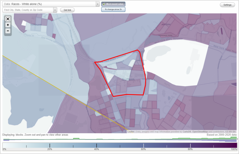
Downtown (CBD) neighborhood in Suffern, New York (NY), 10901 detailed profile
Settings
X

Business Search - 14 Million verified businesses
Area: 0.200 square miles
City-data.com crime index for village in 2020 (higher means more crime):
| City: | 22.5 |
| U.S. average: | 219.5 |
Limited-access highways (interstate or state) in this neighborhood:
I- 87
Length: 0.91 miles
Direction: E-W
Direction: E-W
I- 287
Length: 0.12 miles
Direction: E-W
Direction: E-W
Highways in this neighborhood:
State Hwy 59 (Lafayette Ave)
Length: 0.63 miles
Directions: E-W, SE-NW
Address range: 1 to 145
Directions: E-W, SE-NW
Address range: 1 to 145
Wayne Ave (US Hwy 202)
Length: 0.49 miles
Directions: E-W, SW-NE
Address range: 1 to 117
Directions: E-W, SW-NE
Address range: 1 to 117
Orange Ave (US Hwy 202)
Length: 0.34 miles
Directions: N-S, SE-NW
Address range: 69 to 143
Directions: N-S, SE-NW
Address range: 69 to 143
Roads and streets:
Washington Ave
Length: 0.50 miles
Directions: N-S, SE-NW, SW-NE
Address range: 1 to 57
Directions: N-S, SE-NW, SW-NE
Address range: 1 to 57
Chestnut St
Length: 0.33 miles
Directions: E-W, N-S, SE-NW, SW-NE
Address range: 1 to 50
Directions: E-W, N-S, SE-NW, SW-NE
Address range: 1 to 50
E Maple Ave
Length: 0.31 miles
Direction: E-W
Address range: 53 to 100
Direction: E-W
Address range: 53 to 100
Cross St
Length: 0.30 miles
Directions: E-W, SE-NW
Address range: 1 to 99
Directions: E-W, SE-NW
Address range: 1 to 99
Clinton Pl
Length: 0.21 miles
Direction: E-W
Address range: 1 to 33
Direction: E-W
Address range: 1 to 33
Park Ave
Length: 0.18 miles
Directions: N-S, SW-NE
Address range: 20 to 67
Directions: N-S, SW-NE
Address range: 20 to 67
Washington Cir
Length: 0.18 miles
Directions: E-W, SE-NW
Address range: 6 to 43
Directions: E-W, SE-NW
Address range: 6 to 43
Hallett Pl
Length: 0.17 miles
Directions: E-W, N-S, SE-NW
Address range: 1 to 23
Directions: E-W, N-S, SE-NW
Address range: 1 to 23
E Park Pl
Length: 0.16 miles
Direction: E-W
Address range: 1 to 35
Direction: E-W
Address range: 1 to 35
Pleasant Ave
Length: 0.14 miles
Directions: E-W, SW-NE
Address range: 1 to 21
Directions: E-W, SW-NE
Address range: 1 to 21
Antrim Ave
Length: 0.12 miles
Direction: N-S
Address range: 1 to 32
Direction: N-S
Address range: 1 to 32
Fair St
Length: 0.11 miles
Direction: E-W
Direction: E-W
Suffern Pl
Length: 0.09 miles
Direction: N-S
Address range: 1 to 99
Direction: N-S
Address range: 1 to 99
Mansfield Pl
Length: 0.08 miles
Directions: E-W, N-S, SE-NW
Address range: 1 to 28
Directions: E-W, N-S, SE-NW
Address range: 1 to 28
Avon Pl
Length: 0.07 miles
Direction: N-S
Direction: N-S
Washington Ave S
Length: 0.02 miles
Direction: SW-NE
Direction: SW-NE
Railroad features:
Norfolk Southern Rlwy (Erie-Lackawanna RR)
Length: 0.60 miles
Direction: E-W
Direction: E-W
Other features:
Mahwah Riv
Length: 0.01 miles
Direction: SE-NW
Direction: SE-NW