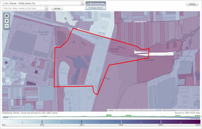
Hacienda Village neighborhood in Fort Lauderdale, Florida (FL), 33312, 33314 detailed profile
Settings
X

Business Search - 14 Million verified businesses
Area: 0.847 square miles
City-data.com crime index for city in 2020 (higher means more crime):
| City: | 412.2 |
| U.S. average: | 219.5 |
Limited-access highways (interstate or state) in this neighborhood:
I- 595
Length: 2.50 miles
Directions: E-W, SE-NW
Directions: E-W, SE-NW
Florida's Tpke
Length: 0.62 miles
Direction: N-S
Direction: N-S
Highways in this neighborhood:
S State Hwy 7 (US Hwy 441)
Length: 0.90 miles
Directions: N-S, SW-NE
Address range: 2700 to 3877
Directions: N-S, SW-NE
Address range: 2700 to 3877
Roads and streets:
Twin Lakes Mhp
Length: 1.64 miles
Directions: E-W, N-S, SE-NW, SW-NE
Directions: E-W, N-S, SE-NW, SW-NE
Burris Rd (SW 46th Ave)
Length: 0.81 miles
Directions: N-S, SW-NE
Address range: 2600 to 3599
Directions: N-S, SW-NE
Address range: 2600 to 3599
Oakes Rd (SW 36th St)
Length: 0.51 miles
Directions: E-W, SE-NW
Address range: 4400 to 5099
Directions: E-W, SE-NW
Address range: 4400 to 5099
SW 26th St
Length: 0.48 miles
Direction: E-W
Address range: 4000 to 4799
Direction: E-W
Address range: 4000 to 4799
Sr84
Length: 0.44 miles
Directions: E-W, SE-NW, SW-NE
Directions: E-W, SE-NW, SW-NE
SW 50th Ave
Length: 0.37 miles
Directions: N-S, SE-NW
Address range: 3200 to 3661
Directions: N-S, SE-NW
Address range: 3200 to 3661
SW 49th Way
Length: 0.28 miles
Direction: N-S
Address range: 2998 to 3599
Direction: N-S
Address range: 2998 to 3599
Red Rd
Length: 0.27 miles
Directions: E-W, N-S, SE-NW
Directions: E-W, N-S, SE-NW
SW 29th St
Length: 0.22 miles
Directions: E-W, N-S, SE-NW, SW-NE
Address range: 4900 to 4999
Directions: E-W, N-S, SE-NW, SW-NE
Address range: 4900 to 4999
SW 30th St
Length: 0.22 miles
Direction: E-W
Address range: 4600 to 4799
Direction: E-W
Address range: 4600 to 4799
Oakes Rd
Length: 0.19 miles
Directions: E-W, N-S, SE-NW
Directions: E-W, N-S, SE-NW
Canal Dr
Length: 0.18 miles
Direction: N-S
Address range: 3500 to 3799
Direction: N-S
Address range: 3500 to 3799
SW 34th Pl
Length: 0.17 miles
Direction: E-W
Address range: 4900 to 4999
Direction: E-W
Address range: 4900 to 4999
Other features:
N New River Cnl
Length: 0.16 miles
Directions: E-W, SE-NW
Directions: E-W, SE-NW