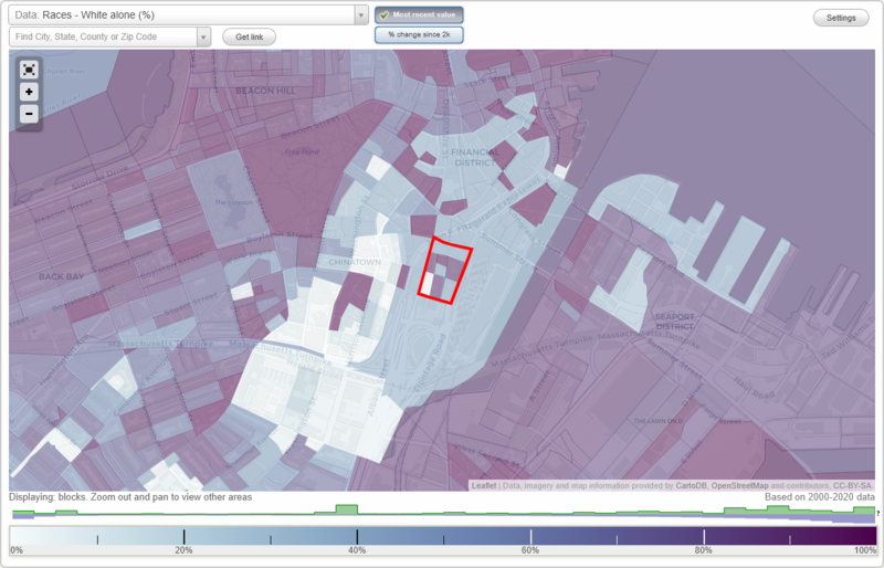
Leather District neighborhood in Boston, Massachusetts (MA), 02111 detailed profile
Settings
X

Business Search - 14 Million verified businesses
Area: 0.019 square miles
City-data.com crime index for city in 2020 (higher means more crime):
| City: | 258.2 |
| U.S. average: | 219.5 |
Roads and streets:
Atlantic Ave
Length: 0.18 miles
Directions: E-W, SW-NE
Address range: 687 to 799
Directions: E-W, SW-NE
Address range: 687 to 799
South St
Length: 0.14 miles
Direction: N-S
Address range: 76 to 299
Direction: N-S
Address range: 76 to 299
Utica St
Length: 0.13 miles
Direction: N-S
Address range: 20 to 99
Direction: N-S
Address range: 20 to 99
East St
Length: 0.12 miles
Direction: E-W
Address range: 11 to 99
Direction: E-W
Address range: 11 to 99
Beach St
Length: 0.10 miles
Direction: E-W
Address range: 106 to 199
Direction: E-W
Address range: 106 to 199
Kneeland St
Length: 0.09 miles
Direction: E-W
Address range: 150 to 199
Direction: E-W
Address range: 150 to 199
East Pl
Length: 0.04 miles
Direction: N-S
Direction: N-S
Tufts St
Length: 0.04 miles
Direction: E-W
Address range: 1 to 53
Direction: E-W
Address range: 1 to 53