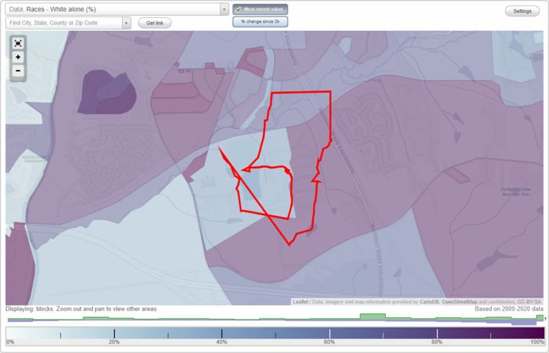
Mingo Creek neighborhood in Knightdale, North Carolina (NC), 27545 detailed profile
Settings
X

Business Search - 14 Million verified businesses
Area: 0.240 square miles
City-data.com crime index for town in 2020 (higher means more crime):
| City: | 145.2 |
| U.S. average: | 219.5 |
Roads and streets:
Delham Rd
Length: 0.63 miles
Directions: E-W, N-S, SE-NW, SW-NE
Address range: 900 to 1228
Directions: E-W, N-S, SE-NW, SW-NE
Address range: 900 to 1228
Savin Lndg
Length: 0.30 miles
Direction: E-W
Direction: E-W
Mingo Bluff Blvd
Length: 0.29 miles
Directions: E-W, N-S, SW-NE
Directions: E-W, N-S, SW-NE
Skidwith Ct
Length: 0.19 miles
Directions: N-S, SE-NW
Directions: N-S, SE-NW
Bellefont Ct
Length: 0.17 miles
Directions: E-W, N-S, SE-NW
Directions: E-W, N-S, SE-NW
Delray Ln
Length: 0.13 miles
Direction: E-W
Address range: 800 to 821
Direction: E-W
Address range: 800 to 821
Plexor Ln
Length: 0.11 miles
Directions: E-W, SE-NW
Directions: E-W, SE-NW
Craftway Ct
Length: 0.09 miles
Directions: E-W, SE-NW
Address range: 1000 to 1111
Directions: E-W, SE-NW
Address range: 1000 to 1111
Chalkley Ct
Length: 0.08 miles
Directions: N-S, SW-NE
Directions: N-S, SW-NE
Hadel Pl
Length: 0.08 miles
Directions: E-W, N-S, SW-NE
Directions: E-W, N-S, SW-NE
Spinster Ln
Length: 0.06 miles
Directions: N-S, SW-NE
Directions: N-S, SW-NE
Danley Ln
Length: 0.05 miles
Direction: N-S
Direction: N-S
Hollins Ct
Length: 0.04 miles
Direction: SE-NW
Address range: 900 to 911
Direction: SE-NW
Address range: 900 to 911
Tawana Ct
Length: 0.03 miles
Direction: N-S
Address range: 1000 to 1107
Direction: N-S
Address range: 1000 to 1107
Pochard Pl
Length: 0.01 miles
Direction: N-S
Direction: N-S