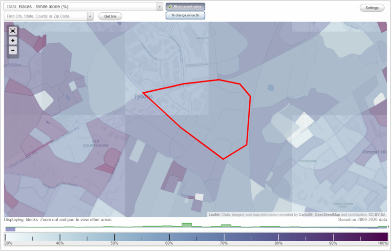
Tysons Corner Center neighborhood in Mc Lean, Virginia (VA), 22102, 22182 detailed profile
Settings
X

Limited-access highways (interstate or state) in this neighborhood:
I- 495 (American Legion Memorial Brg)
Length: 0.09 miles
Direction: N-S
Direction: N-S
Highways in this neighborhood:
State Rte 7 (Leesburg Pike)
Length: 0.84 miles
Direction: SE-NW
Address range: 8130 to 8216
Direction: SE-NW
Address range: 8130 to 8216
State Rte 684 (International Dr)
Length: 0.34 miles
Directions: N-S, SE-NW, SW-NE
Directions: N-S, SE-NW, SW-NE
Roads and streets:
Ring Rd
Length: 1.14 miles
Directions: E-W, N-S, SE-NW, SW-NE
Directions: E-W, N-S, SE-NW, SW-NE
Chain Bridge Rd
Length: 0.51 miles
Directions: E-W, N-S, SE-NW, SW-NE
Address range: 8218 to 8288
Directions: E-W, N-S, SE-NW, SW-NE
Address range: 8218 to 8288
Towers Crescent Dr
Length: 0.32 miles
Directions: E-W, N-S, SE-NW, SW-NE
Address range: 8000 to 8099
Directions: E-W, N-S, SE-NW, SW-NE
Address range: 8000 to 8099
Watson St
Length: 0.23 miles
Directions: SE-NW, SW-NE
Address range: 8104 to 8299
Directions: SE-NW, SW-NE
Address range: 8104 to 8299
Fletcher St
Length: 0.14 miles
Direction: SE-NW
Address range: 1800 to 1898
Direction: SE-NW
Address range: 1800 to 1898
Mervis Way
Length: 0.08 miles
Direction: SW-NE
Address range: 1900 to 1998
Direction: SW-NE
Address range: 1900 to 1998