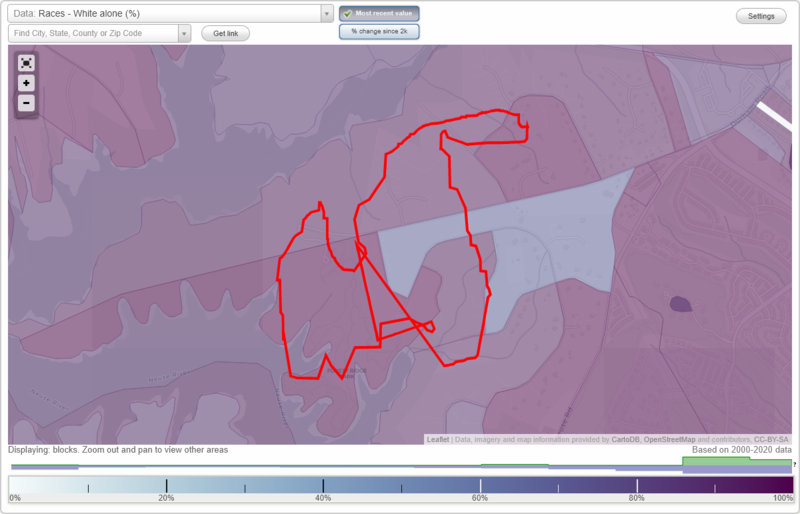
Wakefield neighborhood in Wake Forest, North Carolina (NC), 27587 detailed profile
Settings
X

Business Search - 14 Million verified businesses
Area: 0.734 square miles
City-data.com crime index for town in 2020 (higher means more crime):
| City: | 84.9 |
| U.S. average: | 219.5 |
Roads and streets:
Wakefalls Dr
Length: 1.59 miles
Directions: E-W, N-S, SE-NW, SW-NE
Address range: 6232 to 6599
Directions: E-W, N-S, SE-NW, SW-NE
Address range: 6232 to 6599
Rolling Rock Rd
Length: 0.63 miles
Directions: E-W, N-S, SE-NW, SW-NE
Address range: 2011 to 2199
Directions: E-W, N-S, SE-NW, SW-NE
Address range: 2011 to 2199
Mountain High Rd
Length: 0.50 miles
Directions: E-W, SW-NE
Address range: 1900 to 2216
Directions: E-W, SW-NE
Address range: 1900 to 2216
Mountain Grove Ln
Length: 0.39 miles
Directions: N-S, SW-NE
Address range: 6300 to 6405
Directions: N-S, SW-NE
Address range: 6300 to 6405
Talbot Ridge St
Length: 0.30 miles
Directions: E-W, N-S, SE-NW
Address range: 1700 to 1732
Directions: E-W, N-S, SE-NW
Address range: 1700 to 1732
Oatlands Ct
Length: 0.23 miles
Directions: E-W, N-S, SE-NW, SW-NE
Address range: 1800 to 1899
Directions: E-W, N-S, SE-NW, SW-NE
Address range: 1800 to 1899
Green Hollow Ct
Length: 0.20 miles
Directions: N-S, SE-NW
Address range: 6700 to 6799
Directions: N-S, SE-NW
Address range: 6700 to 6799
Holly Bend Ln
Length: 0.18 miles
Directions: E-W, SE-NW, SW-NE
Address range: 2200 to 2299
Directions: E-W, SE-NW, SW-NE
Address range: 2200 to 2299
Shady Hill Ln
Length: 0.13 miles
Direction: E-W
Address range: 1800 to 1899
Direction: E-W
Address range: 1800 to 1899
Old State Hwy 98 (State Rd 1967)
Length: 0.12 miles
Direction: E-W
Address range: 2106 to 2199
Direction: E-W
Address range: 2106 to 2199
Stoney Bluff Ct
Length: 0.07 miles
Direction: N-S
Address range: 6200 to 6299
Direction: N-S
Address range: 6200 to 6299
Oak Lawn Way
Length: 0.06 miles
Direction: E-W
Address range: 2200 to 2299
Direction: E-W
Address range: 2200 to 2299
Rocky Creek Way
Length: 0.04 miles
Direction: SW-NE
Address range: 6200 to 6299
Direction: SW-NE
Address range: 6200 to 6299