North Dakota Severe Storms and Flooding (DR-1829)
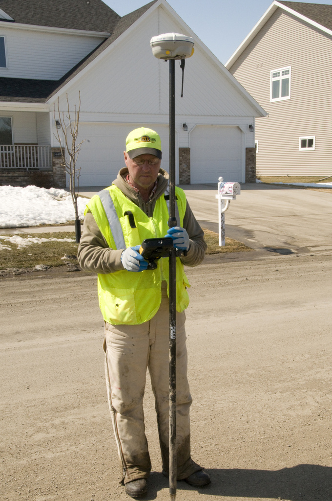
Photo date: April 7, 2009
Photographer: FEMA / Patsy Lynch
Photo location: Fargo ND
Categories: Response, State/Local Officials, Dam/Levee Break, Flooding, Severe Storm, Winter Storm
Don Weisch,a Fargo, ND engineer uses a GPS to measure the height of the river in the Edgewood neighborhood in Fargo. The city is measuring the height of the Red River to ensure that that existing levees are high enough to protect the city. Photo by Patsy Lynch/FEMA
Go to: Disaster photos, Fargo, All US cities.