Photo date: March 12, 2003
Photographer: FEMA / Jocelyn Augustino
Photo location: Washington DC
Categories: Operations
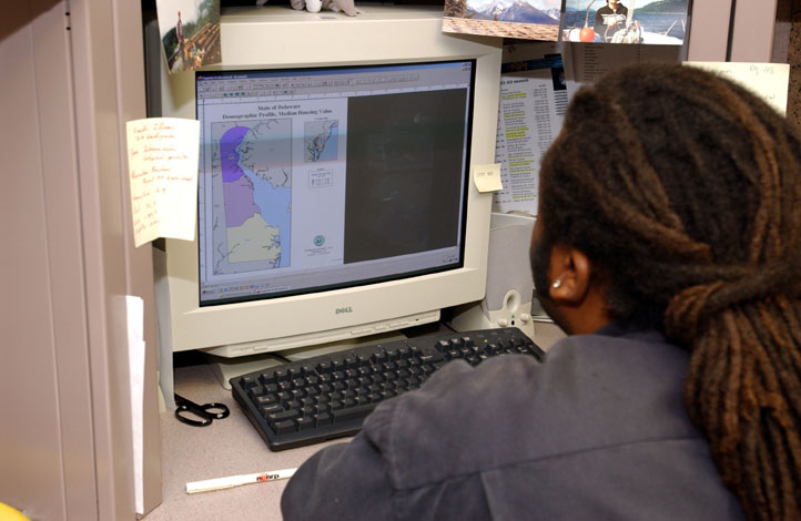
FEMA's mapping section creates disaster maps that help track disaster damage and help emergency managers distribute disaster resources accurately and help mitigation and preparedness experts plan for the future. Photo by Jocelyn Augustino/FEMA News Photo
Go to: Disaster photos, Washington, All US cities.