Please register to participate in our discussions with 2 million other members - it's free and quick! Some forums can only be seen by registered members. After you create your account, you'll be able to customize options and access all our 15,000 new posts/day with fewer ads.
If I remember correctly hasn't the Euro model been pretty consistent with the center heading to TX?
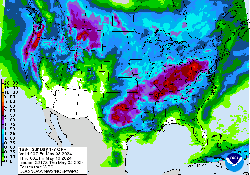
Either way, large swath of tropical moisture heading into the southern US mainly East of the center.
On these new issuing Watches/warnings before a storm is actually "named" personally I like the NHC issuing them...gives people a heads up and sort of gets rid of the is it really a tropical storm or a post tropical storm or something else wanna be storm or not. Focuses more towards the effect/impacts side of things.
11pmEST 19 June 2017 Gulf of Mexico storm (93L/PotentialTropicalCyclone3) update from NHC:
Winds 40mph, moving NNW 8mph, pressure 1000mb.
"HAZARDS AFFECTING LAND
----------------------
WIND: Tropical storm conditions are expected to first reach the coast within the warning area by Tuesday afternoon. Tropical storm conditions are possible in the watch area on Wednesday.
RAINFALL: The disturbance is expected to produce total rain accumulations of 4 to 8 inches with isolated maximum amounts of 10 inches over southeastern Louisiana, southern Mississippi, southern Alabama, and the Florida Panhandle through Wednesday evening."
A "Hurricane Local Statement" has been issued for areas as far inland as Alexandria, LA. This is the first time I've seen this. I guess it's a new product.
Quote:
SITUATION OVERVIEW
------------------
POTENTIAL TROPICAL CYCLONE 3 IS NEARLY STATIONARY OVER THE CENTRAL
GULF OF MEXICO. A TROPICAL STORM WARNING REMAINS IN EFFECT FOR THE
SOUTH CENTRAL LOUISIANA COAST FROM INTRACOASTAL CITY EASTWARD. A
TROPICAL STORM WATCH REMAINS IN EFFECT FOR THE SOUTHWEST LOUISIANA AND
SOUTHEAST TEXAS COASTS FROM INTRACOASTAL CITY TO HIGH ISLAND.
AT 7 PM CDT, THE CENTER OF THE POTENTIAL TROPICAL CYCLONE WAS LOCATED
NEAR 24.0N 89.2W. MOVEMENT WAS STATIONARY, BUT A MOTION TOWARD THE
NORTH-NORTHWEST IS EXPECTED TO RESUME LATER TONIGHT, FOLLOWED BY A
TURN TOWARD THE NORTHWEST ON TUESDAY AND TUESDAY NIGHT. THE CENTRAL
PRESSURE MEASURED BY RECONNAISSANCE AIRCRAFT AND NEARBY SHIPS WAS
1000 MB. MAXIMUM SUSTAINED WINDS ARE 40 MPH WITH HIGHER GUSTS.
THE CYCLONE IS EXPECTED TO APPROACH THE SOUTHWEST LOUISIANA COAST
TUESDAY NIGHT, WITH WINDS INCREASING TO NEAR TROPICAL STORM FORCE LATE
TUESDAY EVENING INTO OVERNIGHT FOR LOCATIONS SOUTH OF I-10 AND EAST OF
CAMERON. RAINBANDS ASSOCIATED WITH THE SYSTEM WILL BEGIN MOVING OVER
THE AREA DURING THE DAY TUESDAY, WITH HEAVY RAINFALL POSSIBLE IN SOME
OF THE BANDS. TIDES ALONG THE COAST WILL INCREASE SLIGHTLY, RUNNING
ABOUT 1 TO 2 FEET ABOVE PREDICTED LEVELS.
POTENTIAL IMPACTS
-----------------
Spoiler
* FLOODING RAIN:
PROTECT AGAINST LOCALLY HAZARDOUS RAINFALL FLOODING HAVING POSSIBLE
LIMITED IMPACTS ACROSS CENTRAL AND SOUTH CENTRAL LOUISIANA. POTENTIAL
IMPACTS INCLUDE:
- LOCALIZED RAINFALL FLOODING MAY PROMPT A FEW EVACUATIONS.
- RIVERS AND TRIBUTARIES MAY QUICKLY RISE WITH SWIFTER CURRENTS.
SMALL STREAMS, CREEKS, CANALS, AND DITCHES MAY BECOME SWOLLEN
AND OVERFLOW IN SPOTS.
- FLOOD WATERS CAN ENTER A FEW STRUCTURES, ESPECIALLY IN USUALLY
VULNERABLE SPOTS. A FEW PLACES WHERE RAPID PONDING OF WATER
OCCURS AT UNDERPASSES, LOW-LYING SPOTS, AND POOR DRAINAGE
AREAS. SEVERAL STORM DRAINS AND RETENTION PONDS BECOME
NEAR-FULL AND BEGIN TO OVERFLOW. SOME BRIEF ROAD AND BRIDGE
CLOSURES.
ELSEWHERE ACROSS SOUTHWEST LOUISIANA AND SOUTHEAST TEXAS, LITTLE TO
NO IMPACT IS ANTICIPATED.
* WIND:
PROTECT AGAINST HAZARDOUS WIND HAVING POSSIBLE LIMITED IMPACTS ACROSS
SOUTHWEST LOUISIANA AND SOUTHEAST TEXAS. POTENTIAL IMPACTS INCLUDE:
- DAMAGE TO PORCHES, AWNINGS, CARPORTS, SHEDS, AND UNANCHORED
MOBILE HOMES. UNSECURED LIGHTWEIGHT OBJECTS BLOWN ABOUT.
- MANY LARGE TREE LIMBS BROKEN OFF. A FEW TREES SNAPPED OR
UPROOTED, BUT WITH GREATER NUMBERS IN PLACES WHERE TREES ARE
SHALLOW ROOTED. SOME FENCES AND ROADWAY SIGNS BLOWN OVER.
- A FEW ROADS IMPASSABLE FROM DEBRIS, PARTICULARLY WITHIN URBAN
OR HEAVILY WOODED PLACES. HAZARDOUS DRIVING CONDITIONS ON
BRIDGES AND OTHER ELEVATED ROADWAYS.
- SCATTERED POWER AND COMMUNICATIONS OUTAGES.
* SURGE:
LITTLE TO NO SURGE IMPACTS ARE ANTICIPATED AT THIS TIME
ACROSS SOUTHWEST LOUISIANA AND SOUTHEAST TEXAS.
* TORNADOES:
PROTECT AGAINST A TORNADO EVENT HAVING POSSIBLE LIMITED IMPACTS
ACROSS FAR SOUTH CENTRAL LOUISIANA. POTENTIAL IMPACTS INCLUDE:
- THE OCCURRENCE OF ISOLATED TORNADOES CAN HINDER THE EXECUTION
OF EMERGENCY PLANS DURING TROPICAL EVENTS.
- A FEW PLACES MAY EXPERIENCE TORNADO DAMAGE, ALONG WITH POWER
AND COMMUNICATIONS DISRUPTIONS.
- LOCATIONS COULD REALIZE ROOFS PEELED OFF BUILDINGS, CHIMNEYS
TOPPLED, MOBILE HOMES PUSHED OFF FOUNDATIONS OR OVERTURNED,
LARGE TREE TOPS AND BRANCHES SNAPPED OFF, SHALLOW-ROOTED TREES
KNOCKED OVER, MOVING VEHICLES BLOWN OFF ROADS, AND SMALL BOATS
PULLED FROM MOORINGS.
ELSEWHERE ACROSS SOUTHWEST LOUISIANA AND SOUTHEAST TEXAS, LITTLE TO
NO IMPACT IS ANTICIPATED.
A "Hurricane Local Statement" has been issued for areas as far inland as Alexandria, LA. This is the first time I've seen this. I guess it's a new product.
They appear from time to time but I believe they are only issued by the local National Weather Service office so vary when used & details included and by location if even issued. Basically a way to remind people that little warning line along the immediate coast is not where the storm affects stop. Ah yes, all those classic tidbits a tropical system can bring with it big or small: rains, tornados, flooding, trees down, power issues, for hours on end.
You can see on early morning 20 June 2017 GOES16 prelim satellite image how lopsided this system in the Gulf is. Lot of tropical moisture heading towards the coast. Will get squeezed out by stalled cold front across the SouthEast US (see previous post with potential regional rainfall).
11amEST 20June2017 Gulf system update:
Winds 40mph (east of the center), moving NW 10mph, pressure 999mb. Main threat will be heavy flooding rains this week east of the center across the South and SE US.
Last edited by Psychoma; 06-20-2017 at 09:03 AM..
Reason: Added threat line.
Please register to post and access all features of our very popular forum. It is free and quick. Over $68,000 in prizes has already been given out to active posters on our forum. Additional giveaways are planned.
Detailed information about all U.S. cities, counties, and zip codes on our site: City-data.com.

 Please register to participate in our discussions with 2 million other members - it's free and quick! Some forums can only be seen by registered members. After you create your account, you'll be able to customize options and access all our 15,000 new posts/day with fewer ads.