Please register to participate in our discussions with 2 million other members - it's free and quick! Some forums can only be seen by registered members. After you create your account, you'll be able to customize options and access all our 15,000 new posts/day with fewer ads.
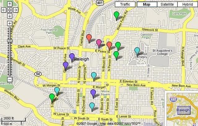
I have started to link my pictures to a map of Downtown Raleigh I created using Google Maps. Click on the map image below and it will take you to the interactive Google map with links to pictures of Downtown Raleigh neighborhoods and landmarks that I have photographed (If the photo is not one of mine I have credited the photographer). You can click on the place markers and a picture of the neighborhood or landmark will "pop-up". If you then click on the "pop-up" picture it will take you to a larger version of the photo or to my online photo gallery of that neighborhood. I will add to this map as I take more pictures in the future.
Click on the Map pictured below to be taken to the "Interactive Photo Map":
No not really. Messing around with the maps is a lot of fun. If you already have your images hosted online somewhere that is half the work. I will DM you with some Tips. I hope they make sense. I have a real gift for making simple tasks seem very complicated!
That is so cool! I hope you keep adding pictures to it.
I definitely will keep adding pictures. If there is any particular site in downtown Raleigh you want to see added to the map just post it here or DM me and I will do my best to try and snap a picture of it. It might take me a while to get around to it, but I will do my best.
I have started to link my pictures to a map of Downtown Raleigh I created using Google Maps. Click on the map image below and it will take you to the interactive Google map with links to pictures of Downtown Raleigh neighborhoods and landmarks that I have photographed (If the photo is not one of mine I have credited the photographer). You can click on the place markers and a picture of the neighborhood or landmark will "pop-up". If you then click on the "pop-up" picture it will take you to a larger version of the photo or to my online photo gallery of that neighborhood. I will add to this map as I take more pictures in the future.
Click on the Map pictured below to be taken to the "Interactive Photo Map":
I have updated my interactive picture map with more recent pictures of some of the downtown condos as well as added a few more points of interest. Hope to add even more stuff in the future.
No not really. Messing around with the maps is a lot of fun. If you already have your images hosted online somewhere that is half the work. I will DM you with some Tips. I hope they make sense. I have a real gift for making simple tasks seem very complicated!
Any way you can share your tips with the rest of us?
Please register to post and access all features of our very popular forum. It is free and quick. Over $68,000 in prizes has already been given out to active posters on our forum. Additional giveaways are planned.
Detailed information about all U.S. cities, counties, and zip codes on our site: City-data.com.

 Please register to participate in our discussions with 2 million other members - it's free and quick! Some forums can only be seen by registered members. After you create your account, you'll be able to customize options and access all our 15,000 new posts/day with fewer ads.


 And we crown you our resident map maker with pics.


