I'm going to describe an entire metro area, maybe around 2.5 million people. There'd be a core city part, containing maybe 40% of the population, perhaps a bit higher, and then a suburban ring that mostly extends out from the city in developed fingers.
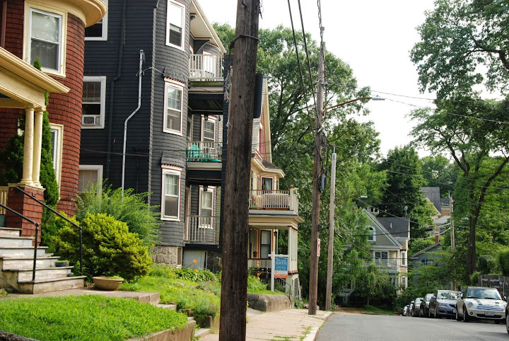
The housing stock of much of the central area would resemble the North End of Boston — 4 or 5 story often brick building on relatively narrow streets. However, the streets would be mostly treed and the rear of the buildings would face a
tree alley. The residential neighborhoods further out may have a bit more setback and would have
large courtyards behind the buildings rather than alleys. Or some rowhouses with small parklets next to them:

The main commercial streets would be arranged in a
triangular grid, while the smaller side streets would be ungridded. Some of the commercial streets would be "bicycle boulvards" with street lights
timed at bicycle speed, and only one car lane in each direction. The downtown would have a large amount of skyscrapers, with some pedestrianized shopping streets mixed. On the edge of downtown in some directions are medium size (100 acre) parks. More parks are scattered further out in residential areas. Outside of downtown there are few high rises, however, on several of the biggest boulevards emnanting outward from the city center are lined with some mid rise (6-12 story), mainly commercial buildings. The city would be somewhere between 40-50 square miles.
The public transit in the city would have an extensive underground subway, some parts may get covered by a street running light rail (underground in downtown) instead that has its own right of way in the street median as well as signal priority. The busier bus routes also get their own lane.
The suburbs are developed in long "fingers" of development, vaguely resembling
Copenhagen suburbs. In between the fingers would be mostly parkland, with the most landscaped part near the residential areas, becoming more natural further out. A passenger railroad (mostly surface but grade separated) would be at the "spine" of each finger, within the city the same railroad functions as an express subway with high frequency but relatively high stop spacing as an alternative to the "normal" subway. Many stations would have a paid parking garage as well as extensive bicycle parking. Within the parks between the finger are bike paths that lead to the center city. Around most train stations, would be neighborhood shopping area and for a few of the larger centers, a few infill high rises for both office or residential. The non-city office buildings would be mostly high rises surrounding these centers. Some of the denser suburban housing stock would be
small-multifamily mostly non-attached residential mainly nearer to each of the "suburban villages":
while further out the housing becomes detached on relatively small lots. Within the "spine of the finger" but away from the main residential area (and in between the "village" train station) would be a non residential area for some auto-oriented big box stores and light industry in a compact industrial-park ish setting. These stores could also be in select patches outside of the fingers, but not intruding on parkland.
Expressways? No expressway enter the very edge of the city, however there is a ring expressway at the edge of the city. The suburban expressways run parallel to some of the suburban fingers. But there's little space in them, they'd need to be in undeveloped land outside. But that would interfere with parkland and add noise in the nice open space. Perhaps they could be in a trench, cutting down on noise. Longer distance rail? Some of the suburban rail lines can support longer distance trains, probably would to be four tracked.

 Please register to participate in our discussions with 2 million other members - it's free and quick! Some forums can only be seen by registered members. After you create your account, you'll be able to customize options and access all our 15,000 new posts/day with fewer ads.


