Please register to participate in our discussions with 2 million other members - it's free and quick! Some forums can only be seen by registered members. After you create your account, you'll be able to customize options and access all our 15,000 new posts/day with fewer ads.
We're on knifes edge here in Leeds, we could get a few cm of snow but we could also get hours of freezing rain. With temperatures currently sitting at -4 / 25F, any rain that falls will be absolutely lethal
Steve D likes to think so. He's pretty accurate with his long range espeially because he doesnt use models, he uses science.
"An important observation has come in this morning that ties all my thoughts together for the early Spring pattern.
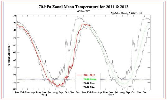
As I had to wait for the warming to develop in the lower stratosphere, we can now see the cooling of the stratosphere start at 70 MB. The stratosphere turning colder leads to collapse of the high latitude blocking scheme over Europe and the Pacific and enhances the progressive pattern over North America.
The stratospheric cooling influence that is now a true observation, not a model output, is a key point here. The combination of this stratospheric cooling with the MJO expected to move towards PHASE 2 now would lead to a very progressive, Pacific pattern setting up as we move towards February 20th.
This type of pattern leads to mild conditions across the United States. So once again, I expect this weekend to be cold and then we start to move towards this milder, progressive pattern that will lead to above normal temperatures for late February and March."
Sunday night forecast to 2°F. Maybe it will change to sub zero? We haven't gotten a subzero night all winter.
You might be too far inland to get the most of it but models have not only trended west with Saturdays snowstorm but more amplified.
See my last post here. //www.city-data.com/forum/conne...ather-102.html
Your map shows 5 inches for me. Not bad considering how snowless winter will be. The track of the low will make a huge difference, so it's probably a bit hard to say anything for sure.
NOAA just says 30% chance of snow on Saturday; snow showers, they don't know yet.
Boston's predicted to have a low of 5°F Sunday night!
Yeah, there's laws and economics involved with some outlets so thats why i dont bother with them. Experience led me away from all outlet forecasts. Too conservative sometimes. But I always tell everyone, keep in mind I only show model forecasts, they obviously use multiple models and science and more details to pick the most reality of them all.
If tonights 00z models show similar event then they'll change and Watches and Warnings will be issued.
Like you said "TRACK" its like threading a needle (especially for the coast). 50 mile shift and it makes the difference.
We're going to get some single digit temps (overnite lows) and below normal highs for a few days. I think they are talking snow, too but it is pretty dry so not sure if that will happen, definitely will be more winter-like for NE Wisconsin!
Please register to post and access all features of our very popular forum. It is free and quick. Over $68,000 in prizes has already been given out to active posters on our forum. Additional giveaways are planned.
Detailed information about all U.S. cities, counties, and zip codes on our site: City-data.com.

 Please register to participate in our discussions with 2 million other members - it's free and quick! Some forums can only be seen by registered members. After you create your account, you'll be able to customize options and access all our 15,000 new posts/day with fewer ads.