Please register to participate in our discussions with 2 million other members - it's free and quick! Some forums can only be seen by registered members. After you create your account, you'll be able to customize options and access all our 15,000 new posts/day with fewer ads.
The freezer setting is on high. The question is when will the doors open.
Snow pack above normal in Canada and Temps are fridgid that the Hudson Bay is freezing over FAST! Only December 4th and its half frozen
I'll point out that Arctic sea ice is still below normal; I suspect it's perfectly normal for the Hudson Bay to be freezing over (or be already frozen) this time of year. Check the graph on the first post of this thread:
more so in Eurasia than North America, but still above average in both. Oddly, last year was the same in November for North America so perhaps it doesn't signify much.
I suspect it's perfectly normal for the Hudson Bay to be freezing over (or be already frozen) this time of year.
Graph I posted shows past 5 years there has not been this much ice at this time. So right off the bat that shows its not normal otherwise it would of happened at least once since 2008. Looking back at 2007 it did not. 2006 it did not. 2005 it did not.
You have to go back to 2004 to find more ice at this time in the Hudson Bay. 8 yrs ago. It got cold there and fast this year. If you have time, check the previous years because I dont have the time to do that. Also note the "rapid" increase, not only the ice cover itself.
Last winter it was plenty cold up in northern Canada. But there was no way to transport that air south. We had seen the jet running about as far north as I have ever seen for most of the winter. I have seen it as cold as -34 so far this season, but this morning the coldest readings are running in the 10-15 below range up there. It looks like cold air will begin building again, and a jet shift south by Dec. 12-15 will likley put most of the Midwest and Northeast back to more normal to below normal temps for at least a few days.
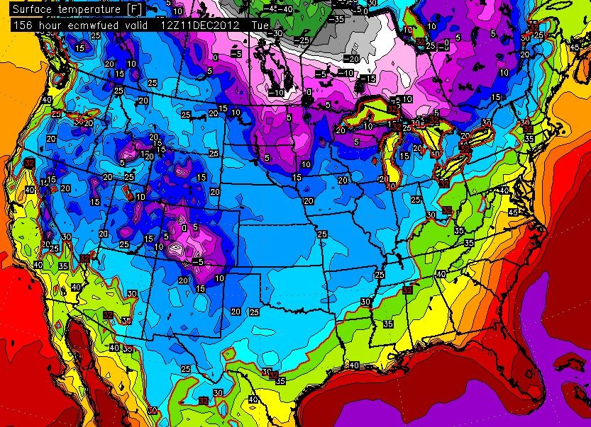
A strong cold front should push through the region Saturday night, ushering in much colder weather. In fact, by Monday high temperatures are expected to rise no more than ten degrees above the freezing mark. There remains considerable uncertainty with this system, but there is a slight chance, 20 percent, of precipitation Sunday and Sunday night. Accumulations, if any, should be light. www.srh.noaa.gov/ama
I'll point out that Arctic sea ice is still below normal; I suspect it's perfectly normal for the Hudson Bay to be freezing over (or be already frozen) this time of year. Check the graph on the first post of this thread:
The sea ice doesn't have much of an effect on the winter, since the source region for American cold is land, not sea. So, the snowpack on land is a much more reliable indicator....
more so in Eurasia than North America, but still above average in both. Oddly, last year was the same in November for North America so perhaps it doesn't signify much.
...and the snowpack is above normal. However, the signal people look for isn't so much hemispheric snow cover as Siberian snow cover, which was below normal last year but at near-record high levels this year. It doesn't make a cold winter a sure thing, but it's one of the more reliable indicators. Anyway, what it comes down to is that two ingredients are needed for a really cold winter:
1) Plenty of cold air available up north
2) A mechanism to transport it south
Without the cold air to the north, getting a cold winter in the U.S. is much more difficult. Having a good snowpack up north helps out in keeping the cold air cold as it moves south. We currently have the cold air available and the snowpack is off to a much better start this year in Canada, though the Plains snowpack will have to be rebuilt. However, none of this cold air will make it to the south unless there's high latitude blocking to force it south. This is where the -AO comes in, and the +AO last year is what kept the U.S. mild, and when there as a -AO in February it dumped the cold into Europe, so there was some rotten luck going on there.
But that's what it comes down to. Get the cold air in place, the snowpack in place, and the high-latitude blocking in place, and potent cold will come.
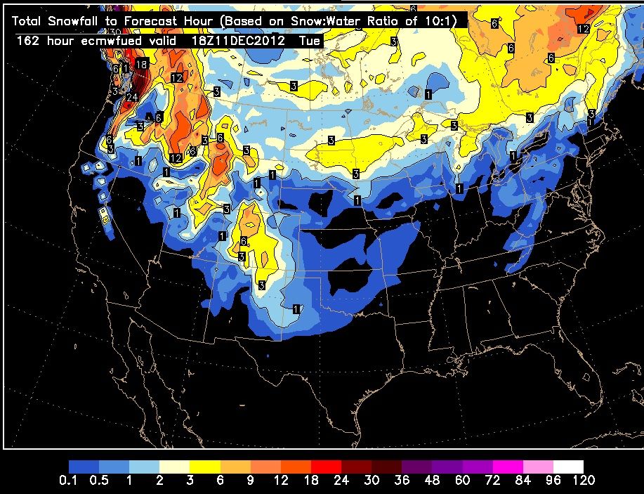
It's a LOT LESS. This is what these far out models do, is pump up crazy snow cover like in the map you put up here a week ago. That map had huge amounts of snow, almost down to Louisiana with the coverage.
Without the cold air to the north, getting a cold winter in the U.S. is much more difficult. Having a good snowpack up north helps out in keeping the cold air cold as it moves south. We currently have the cold air available and the snowpack is off to a much better start this year in Canada, though the Plains snowpack will have to be rebuilt. However, none of this cold air will make it to the south unless there's high latitude blocking to force it south. This is where the -AO comes in, and the +AO last year is what kept the U.S. mild, and when there as a -AO in February it dumped the cold into Europe, so there was some rotten luck going on there.
But that's what it comes down to. Get the cold air in place, the snowpack in place, and the high-latitude blocking in place, and potent cold will come.
All of that is quite true…but what are the odds of that all happening in a given year – quite low on average.
I look at it this way – if the above conditions were so easy (and so typical)….then mean temps and snowfall (and snowcover) would be much higher in many areas of the northern USA. If the pattern or setup frequently arranged the players on the field in that way (to produce max cold/snow)… winter in many parts of the northern USA would have 30 year climate normal that looked much different (much higher snow annually/many more cold snaps/colder ave lows…etc).
It’s possible for the synoptic pattern to produce anything….but it’s most likely to produce is what creates the climate of any location (and it’s 30 year averages). That 99 yard pass is never a high return play.
Another clear day. I took a photo near my workplace go to give a general idea of the amount of snow:
It's compressed a bit in the last several days but there's plenty enough for me. The weekend should bring another healthy layer.
Thanks. I would send you a picture of my snow-barren back yard and the unfrozen bird bath, but it would not be too interesting.
Please register to post and access all features of our very popular forum. It is free and quick. Over $68,000 in prizes has already been given out to active posters on our forum. Additional giveaways are planned.
Detailed information about all U.S. cities, counties, and zip codes on our site: City-data.com.

 Please register to participate in our discussions with 2 million other members - it's free and quick! Some forums can only be seen by registered members. After you create your account, you'll be able to customize options and access all our 15,000 new posts/day with fewer ads.