Please register to participate in our discussions with 2 million other members - it's free and quick! Some forums can only be seen by registered members. After you create your account, you'll be able to customize options and access all our 15,000 new posts/day with fewer ads.
Of note, drought conditions (which were mild to begin with and not yet obviously affecting vegetation) is over for most of New England, though it's still in the "abnormally dry". Data is up to Tuesday morning so the additional 1.1" or so in the last couple days is an additional help. The onset of more humid air seems to have led to (or be associasted with) a more active storm pattern. Rainfall rates are higher, too.
Too hot for you? Think Ice Bergs & take a look at this one spotted yesterday 5/29 in Twillingate Newfoundland. They actually have boat tours for this. http://icebergquest.com/
crl OK and SW MO in the firing line tomorrow...torcon 6/10 in OKC and similar in SW MO. Neg tilt to ULL + high SBCAPE(2,855 j/kg) and MLCAPE (2,205 j/kg), decent shear at ~45kts, low RH94%....
crl OK to SE KS to crl MO = potentially bad place to be tomorrow. unless you're a storm chaser.
forget W AR...major couplet now just by crystal springs, possibly affecting jessiveville and perry/perryville. just missed hot springs. tornado confirmed in oden, AR with damage and EMS on scene at at least 1 residence. NWS said possibly strong tornado
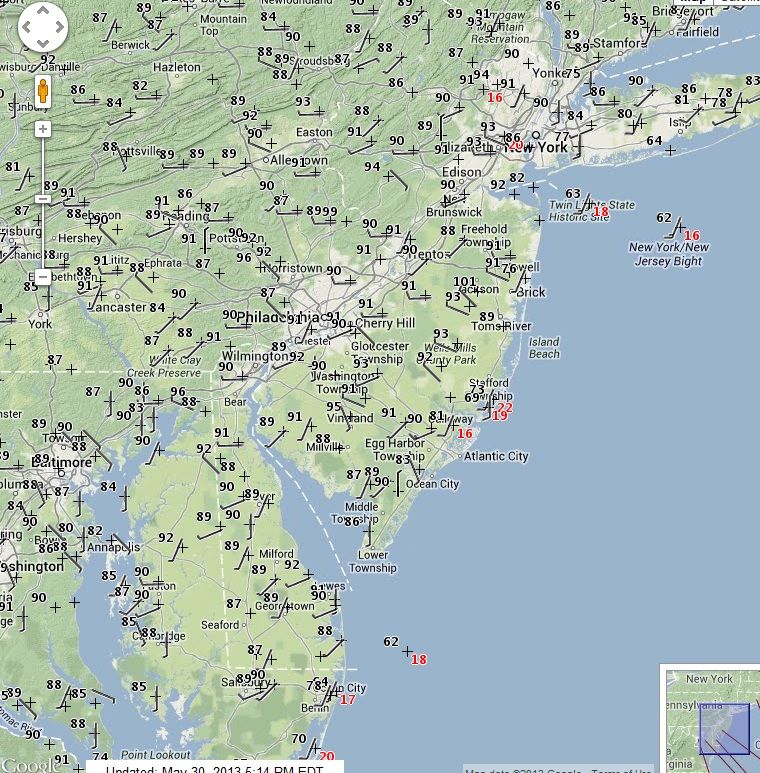
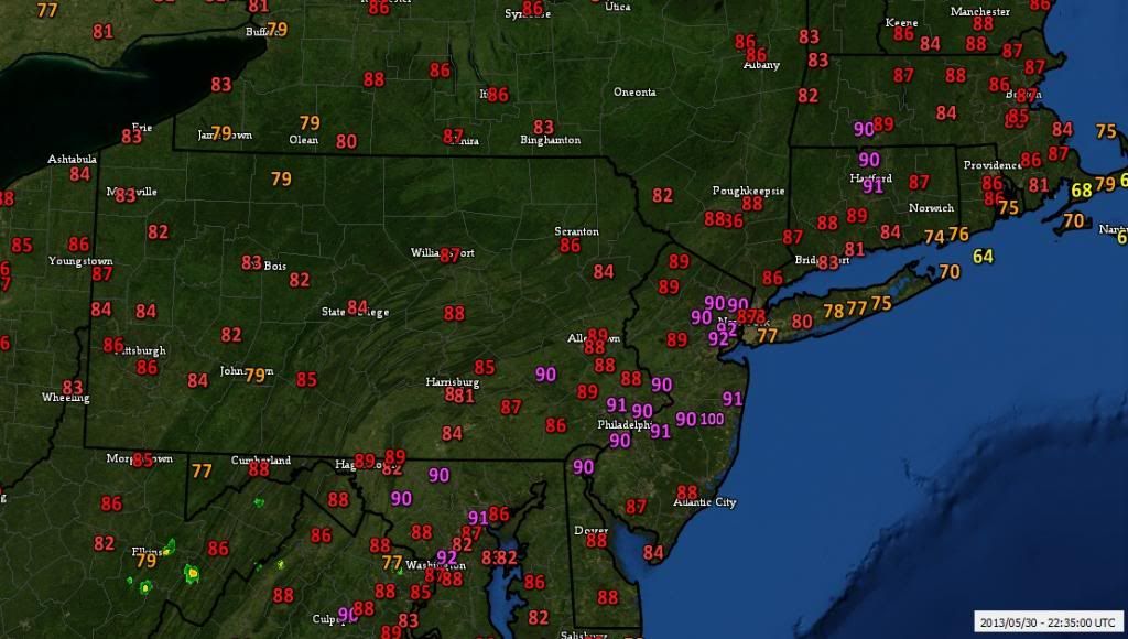
where can I see those maps from other parts of the united states?
Please register to post and access all features of our very popular forum. It is free and quick. Over $68,000 in prizes has already been given out to active posters on our forum. Additional giveaways are planned.
Detailed information about all U.S. cities, counties, and zip codes on our site: City-data.com.

 Please register to participate in our discussions with 2 million other members - it's free and quick! Some forums can only be seen by registered members. After you create your account, you'll be able to customize options and access all our 15,000 new posts/day with fewer ads.


")