Please register to participate in our discussions with 2 million other members - it's free and quick! Some forums can only be seen by registered members. After you create your account, you'll be able to customize options and access all our 15,000 new posts/day with fewer ads.
12:45 to 7:45amEST water vapor loop. So many things are definable. one is the clouds over Washington state moving south to north but over Montana north to south. The peak of the ridge is apparent.
The other is the spinning from the upper level low over the Great lakes/Ohio valley. Clouds in Western PA moving West to East while in eastern PA moving South to North
I was biking home right when that came down, although neighbouring Waterloo wasn't really flooded like that, there were puddles several inches deep and mini rivers all over. The gravel parking lot I usually bike through will have plenty little gullies (again)... The University of Waterloo's weather station recorded 44mm and KW airport got 38mm yesterday. Overall, that puts us around 40mm above the June average for precipitation and 150mm above for the year to date.
I consider widespread 30s to be hot, and I haven't seen a model run like that for a long time. Besides, it's too low-res to be taken seriously. If that setup actually came to fruition, I'd expect low 30s here too (which isn't unusual).
Please register to post and access all features of our very popular forum. It is free and quick. Over $68,000 in prizes has already been given out to active posters on our forum. Additional giveaways are planned.
Detailed information about all U.S. cities, counties, and zip codes on our site: City-data.com.

 Please register to participate in our discussions with 2 million other members - it's free and quick! Some forums can only be seen by registered members. After you create your account, you'll be able to customize options and access all our 15,000 new posts/day with fewer ads.

 Doesnt mean rain every minute or everyday but there's no dry period in the near future.


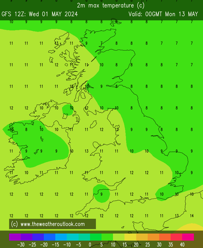
") And the actual day will be about 15°C and raining no doubt.
And the actual day will be about 15°C and raining no doubt. 

