Please register to participate in our discussions with 2 million other members - it's free and quick! Some forums can only be seen by registered members. After you create your account, you'll be able to customize options and access all our 15,000 new posts/day with fewer ads.
The difference in expected snow between inland NJ and the coast is really remarkable. I mean, it's an order of magnitude greater in the counties adjacent to the Delaware River. While the shore usually gets less snow than we do, including with storms like this one, the gradient isn't nearly as great. You can see clearly on that map why everyone is saying this storm is a hard one to predict. I don't mind the uncertainty in this case. Gives me some hope, maybe. While at least 4+ inches seem reasonably certain for my area, what you posted gives me hope maybe it could be greater than that, maybe we won't get as much rain mixed in, etc.
Just went and broomed off nearly 2 inches of snow from the steps that go from the covered back porch to the back yard so that the dogs will be able to get down them. Also did the side porch and steps so that I'll be able to get out the door and down those steps if need be.
If I can do that every couple of hours until I go to bed that should help some.
The difference in expected snow between inland NJ and the coast is really remarkable..
You can always see the track of a storm too by where the larger swath is or where the snow line is.
Reason this time for the coast with less is East winds for a little bit and a close coast track bringing warmer air aloft. Jog the storm 50 miles east and the coast gets as much as inland. In fact, inland might get screwed with little less precip.
Don't forget to clear an area to measure the snow. I shoveled an entire area to the grass and put a table and a board out there.
Also.. if you want and have time, a new project called Ping Project helps NWS. You can see an animated view of all the reports. A bit confusing site but there's a report button somewhere.
Users with the mPING app can select what type of weather is occurring and submit a report. The user’s location and the time of the observation are automatically included, and they can send reports every minute if they choose.
All reports in the mPING database, both past and real-time, can be viewed here on the mPING web site. This allows anyone to see all observations in time and space to better identify the locations where hazardous weather may exist.
To further analyze the data, researchers will compare the reports with what radars detect and use the information to develop new radar and forecasting technologies and techniques. Researchers hope to build a valuable database of tens of thousands of observations from across the United States.
Sorry for the double posts. I figure some folks don't read both threads.
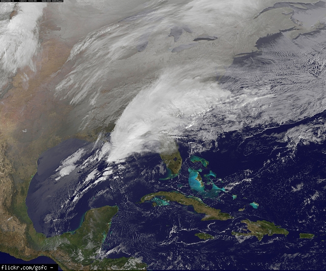
There it is. The dreaded freezing line at 850mb. Making its move northward. Was in SC at 10am. You dont want to be south of that line with surface temps 32 or below!
Please register to post and access all features of our very popular forum. It is free and quick. Over $68,000 in prizes has already been given out to active posters on our forum. Additional giveaways are planned.
Detailed information about all U.S. cities, counties, and zip codes on our site: City-data.com.

 Please register to participate in our discussions with 2 million other members - it's free and quick! Some forums can only be seen by registered members. After you create your account, you'll be able to customize options and access all our 15,000 new posts/day with fewer ads.


 .
.


