Please register to participate in our discussions with 2 million other members - it's free and quick! Some forums can only be seen by registered members. After you create your account, you'll be able to customize options and access all our 15,000 new posts/day with fewer ads.
Interesting. I see they have Denver on in the cold bubble. If it turns out like last winter, Denver will get wild swings with the warmth in the West hanging out often, but then the cold in the east "backing in" occasionally. We ended up with many sunny warm days in the 60s, punctuated by serious Arctic cold two times.
Interesting article by those WeatherTrends360 guys about the over the top hype over this coming winter.
A lot of the article is about global warming blah blah. I'm not interested in that. I'm only interested in the bottom of the article where they say that 10 models call for warm winter in US. They still feel it will not be nearly as harsh as last year, and that the polar jet will stay in Canada. Love to see a debate between them and Bastardi cause they agree totally on AGW, but disgree on this coming winter.
Unfortunately at least some of those same climate models (GDDL, NMME) called for a hot summer this year, and that was an epic fail....
I'm going to go with Bastardi for this winter. Bastardi's analysis of SST's seems to be a good formula to go by. His best guess is that it will resemble 02/03' and 09/10'
Live weather blog has these analogs to follow and if correct, means some serious **** for the Midwest. 1977/78 was simply over the top here...
Oh check out what the Farmer's Almanac is saying about this winter
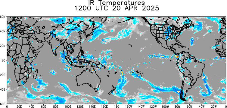
When strong convection develops around the date line in Pacific (180/EQ), it helps enhance the negative EPO pattern, building a ridge in the West and a trough in the East.
This also helps build the Sub Tropical jet stream which helps increase chances for storms going into Fall & Winter. Couple that with the Trough & polar Jet in East = chances for snows & storms.
Unfortunately at least some of those same climate models (GDDL, NMME) called for a hot summer this year, and that was an epic fail....
I'm going to go with Bastardi for this winter. Bastardi's analysis of SST's seems to be a good formula to go by. His best guess is that it will resemble 02/03' and 09/10'
Live weather blog has these analogs to follow and if correct, means some serious **** for the Midwest. 1977/78 was simply over the top here...
Oh check out what the Farmer's Almanac is saying about this winter
The bad part about this is I fall in to the line where brisk and wet meets bitter and snowy which creates epic ice storms -- paralyzing Ozarks for two weeks lol.
Something I thought about as these fronts and Highs coming down...
First, this is current surface map (Sept 18th), Basically, if these Arctic Highs drop down and the fronts always stall in the Gulf and Florida, that means its going to be very wet around the fronts (Gulf States) BUT Dry north of there.
So a setup like this would be snowless for the Ohio Valley and Northeast. Yes I said SNOWLESS. Air just too dry for snow.
Now with the cold air dropping south guess what happens just north of the front where there's moisture. Ice Storms. Is this the setup that's going to be developing and happening? Nobody knows and theres so many other setups.
Just wanted to share this and what would be happening if it was happening in winter.
Please register to post and access all features of our very popular forum. It is free and quick. Over $68,000 in prizes has already been given out to active posters on our forum. Additional giveaways are planned.
Detailed information about all U.S. cities, counties, and zip codes on our site: City-data.com.

 Please register to participate in our discussions with 2 million other members - it's free and quick! Some forums can only be seen by registered members. After you create your account, you'll be able to customize options and access all our 15,000 new posts/day with fewer ads.


")