Please register to participate in our discussions with 2 million other members - it's free and quick! Some forums can only be seen by registered members. After you create your account, you'll be able to customize options and access all our 15,000 new posts/day with fewer ads.
Was just past peak two weekends ago. Taken the following Monday (October 26). Looking at Mt. Tom
on the way
top of the ridge has lots of radio towers
Fire tower on the north part of the ridge
view from the tower
along the cliffs
Same, close-up reveals the damage done by the derecho last October, mostly along the park road
Spoiler
A couple fields scattered by the trees. You can also make a few housing developments and houses scattered within the trees. Town of Easthampton is in the right corner
foliage on the bush
On the trail
Looking at Easthampton
another horizontal view
Spoiler
Ugly university buildings
Some colorful trees, a lot of color was faded or just not that bright, but some were left
Same, close-up reveals the damage done by the derecho last October, mostly along the park road
A couple fields scattered by the trees. You can also make a few housing developments and houses scattered within the trees. Town of Easthampton is in the right corner
Looking at Easthampton
Mt. Tom cliffs from the park road
Wow, I can see the storm damage. Funny how I sometimes forget a bad storm at the surface could mean a worse storm on the hills. They must take a beating up there. (above 2000')
Don't you just want to be on top of a mountain and be like, there.... that's where I want to start civilization and a little town and grow it.
The vertical shot of Easthampton is amazing. Looks like your hovering over the road. I hate seeing roads when I'm hiking but that's a cool shot.
Mt Tom cliffs looks almost like the cliffs in Hamden, CT at Sleeping Giant.
Quote:
Originally Posted by Cambium
Went for a nice hike this morning in South Central CT. Hamden. The State Park is called Sleeping Giant. 2 hrs of hiking. Burned 400 calories. Temp 17°F.
Wow, I can see the storm damage. Funny how I sometimes forget a bad storm at the surface could mean a worse storm on the hills. They must take a beating up there. (above 2000')
It was a derecho, I don't think elevation had much to do with it — you can see the damage was halfway up Mt. Tom. It was just a very localized windburst.
Quote:
Don't you just want to be on top of a mountain and be like, there.... that's where I want to start civilization and a little town and grow it.
Maybe not town, but sometimes I do think it'd be neat to live there and wake up and see the whole valley surrounding you below.
Quote:
The vertical shot of Easthampton is amazing. Looks like your hovering over the road. I hate seeing roads when I'm hiking but that's a cool shot.
I don't mind seeing roads; well at least around here since it's a local hike, I think it's neat to able to get a bird's eye view of the town; don't expect a wilderness view around here, though another firetower view I post comes close. I do mind hear traffic noise.
Quote:
Mt Tom cliffs looks almost like the cliffs in Hamden, CT at Sleeping Giant.
Can vary by a couple weeks year to year based on weather. The average around here is late Oct-Early November. Closer you get to the coast it gets more early-mid November.
Edit: Also depends on the tree type. There are trees here past peak, and there are trees still totally green. They often talk about how in this area some southern and northern species can be grown. This tends to mute our foliage. It never forms a mass of color. Like I said one tree could be past peak and half bare and the other not a hint of color. I saw it yesterday.
Ok. Thanks for the info. Interesting nevertheless, as Philadelphia and Coastal CT aren't that far from each other.
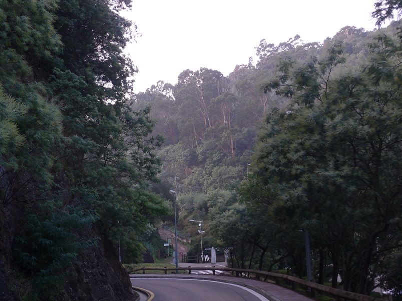
On the road. Cloudy and Warm. 65F at the time, reached 72F as max.
Doesn't look like 65°F at all. Not so much because of the bare trees, but more because of the sky. I tend to associate slate grey, featureless skies with cooler temps.
Quote:
Originally Posted by nei
view from the tower
Cool shape to the ridge. It looks like a tsunami about to hit areas to the left.
Quote:
Looking at Easthampton
another horizontal view
Colors aren't as vivid on the second photo. Different saturation settings?
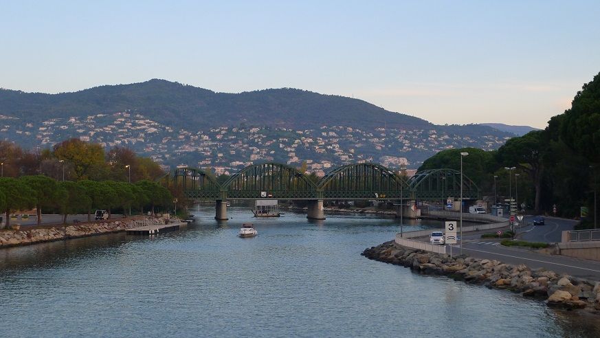
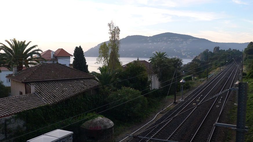
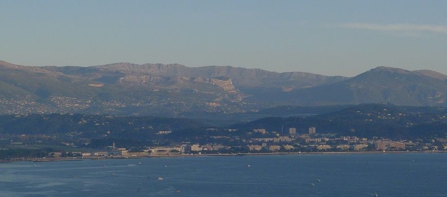
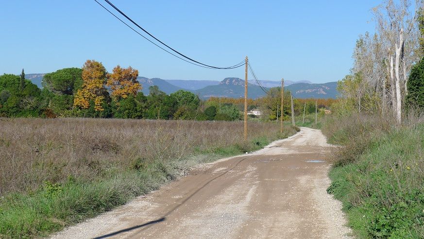
Took a morning bike ride westwards today.
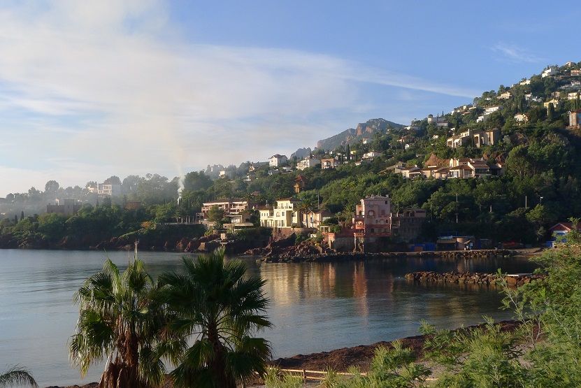
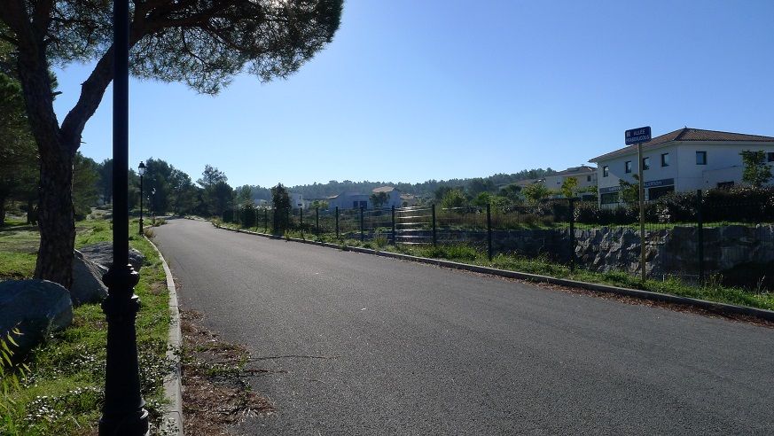
This area was hit hardest by the early October storm.
Scenic railway to Paris
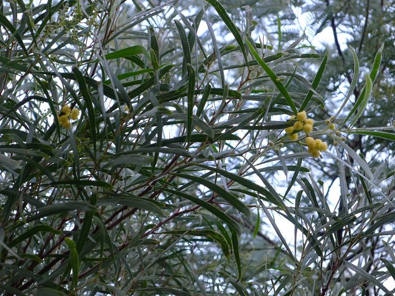
Mimosa and eucalyptus. Am I in Australia?
Mimosa is beginning to flower by the way...
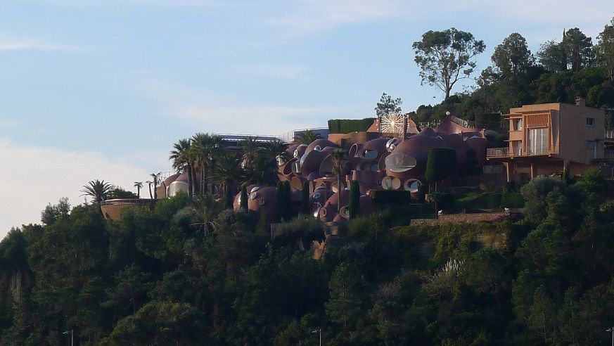
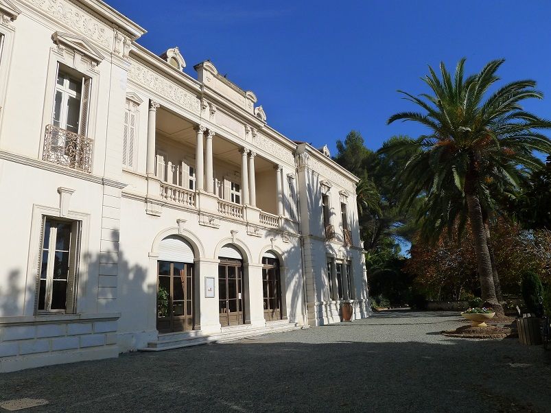
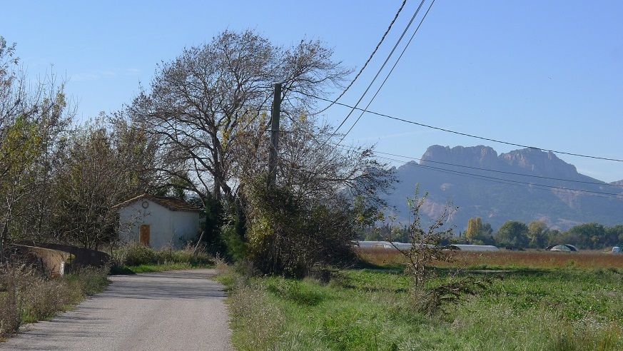
Funky looking house
There's less snow than 1 month ago up there!
No wind to dissipate smoke. I was in shorts and t-shirt by 8 am.
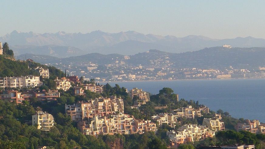
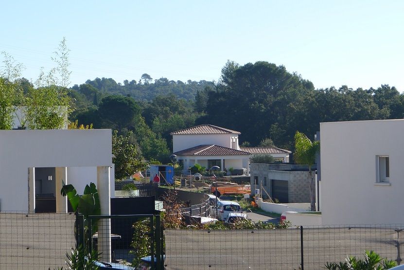
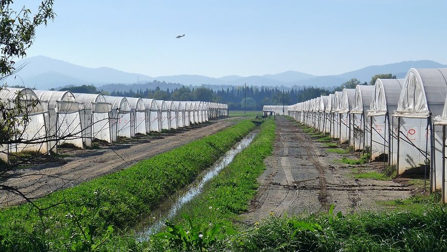
They won't stop pouring concrete all over the place until every piece of land between the Alps and the sea is developed.
Spoiler
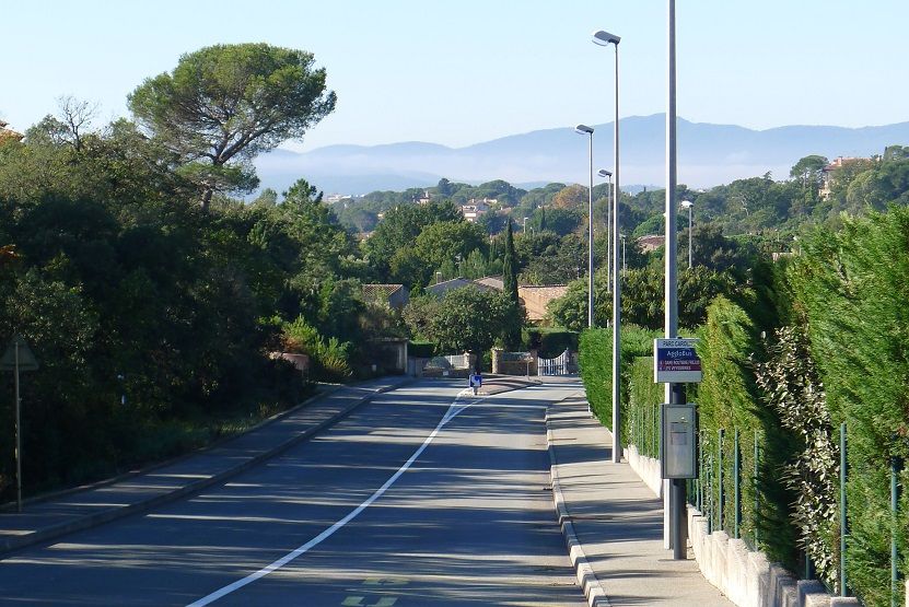
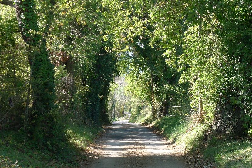
Fences and large hedgerows. I'm in Yurop!
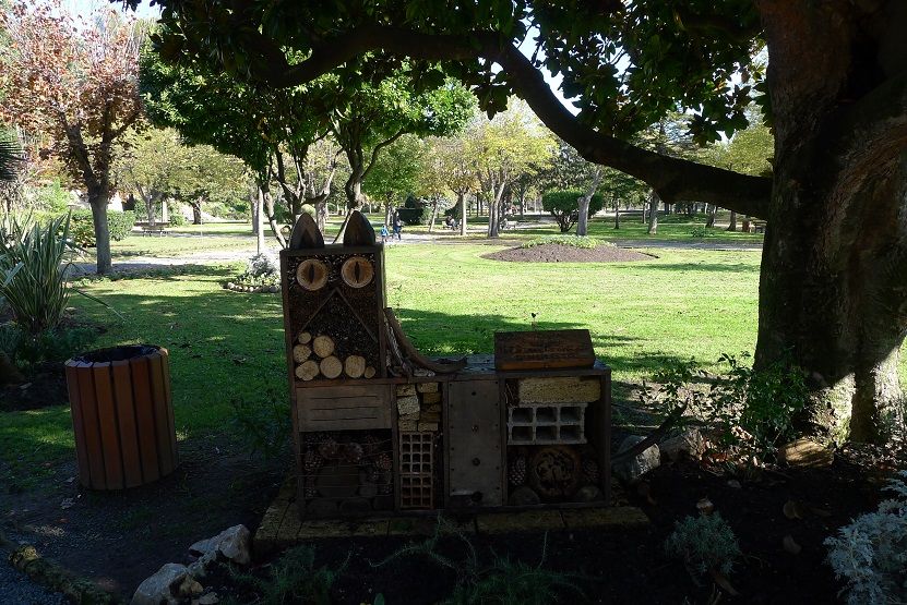
This structure is actually a bee hotel:
This one wasn't built for bees.
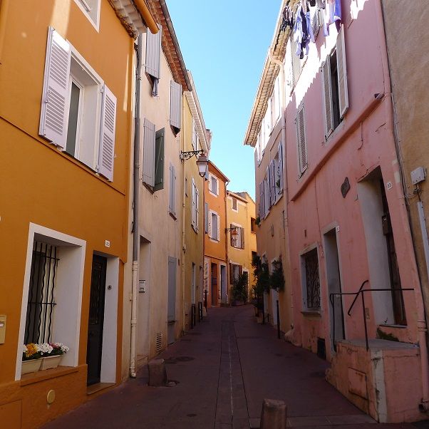
It's been a long time since I lasted posted a pic of a narrow street.
Spoiler
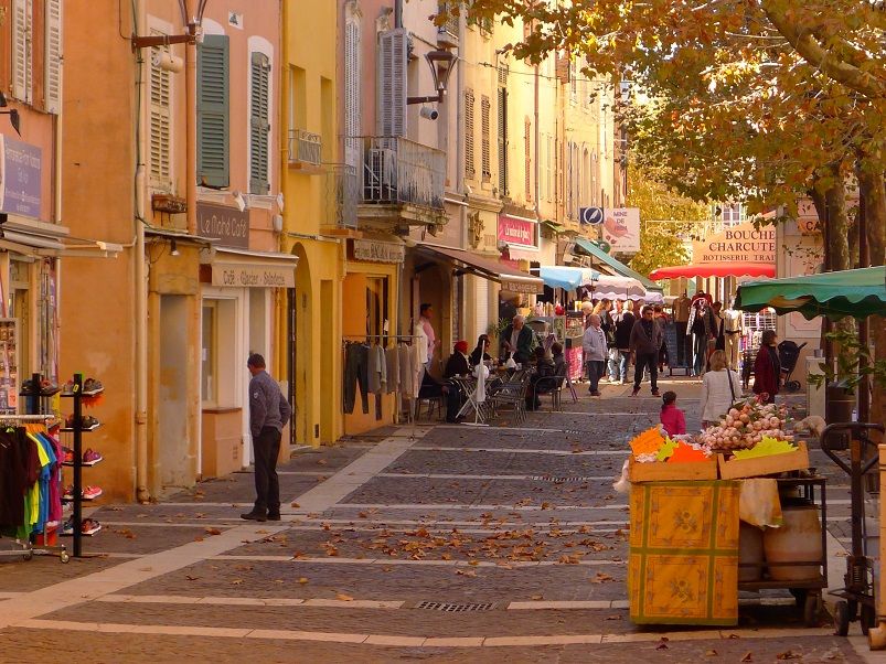
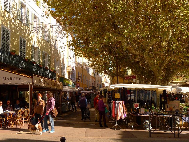
"The markets of Provence"
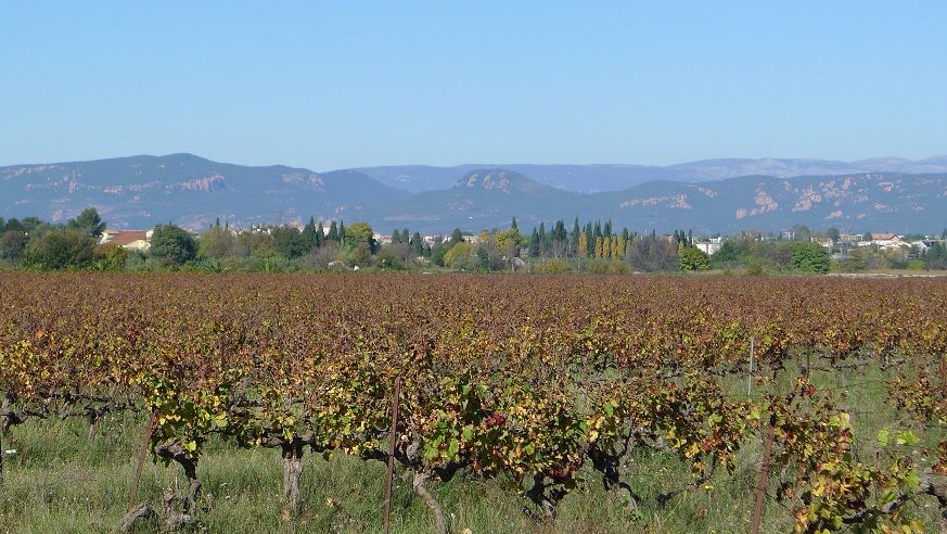
Now entering the warmest part of France in summer, with highs averaging close to 90°F. Numerous vineyards there.
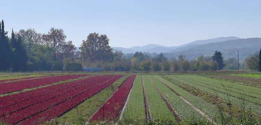
But not only...
Spoiler
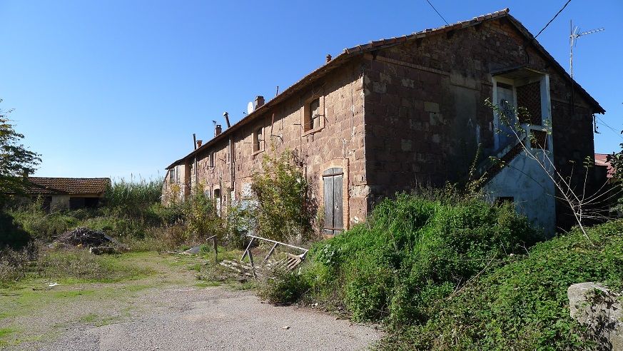
Rural decay
Some fall colors here and there.
'tis November!
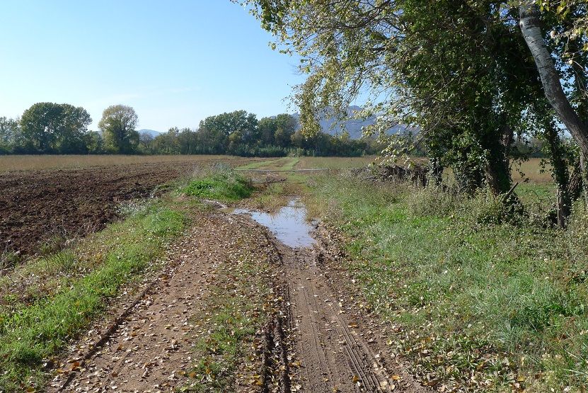
Google Maps says this is a road. I beg to differ. Note to self: never trust Google Maps.
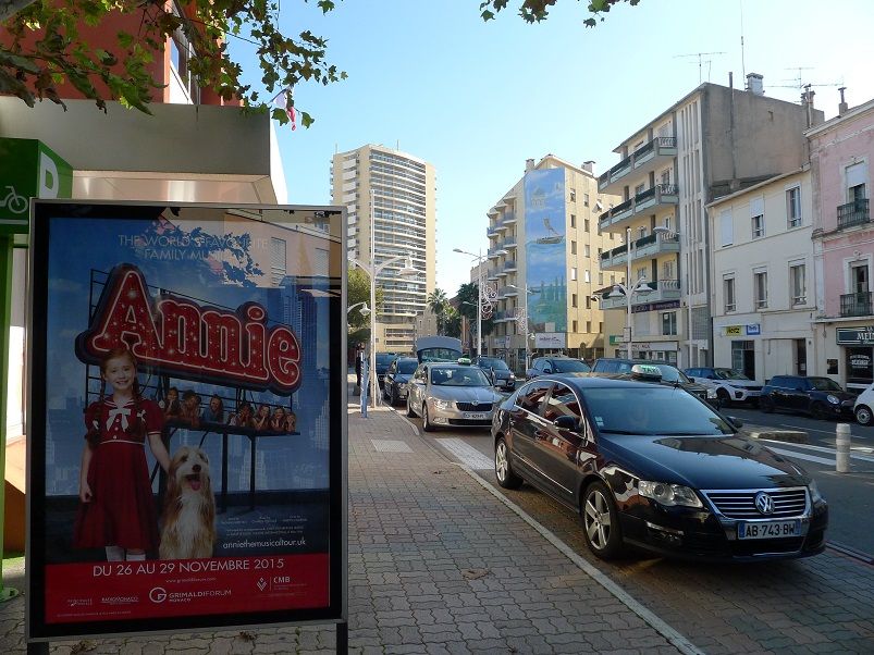
The world's favourite family musical soon in town!!
Some photos from today Nov 7th in Trondheim. Maybe it might be interesting for you living farther south in more populateded latitudes to see how it looks up north here, only 3 degrees south of the Arctic Circle.
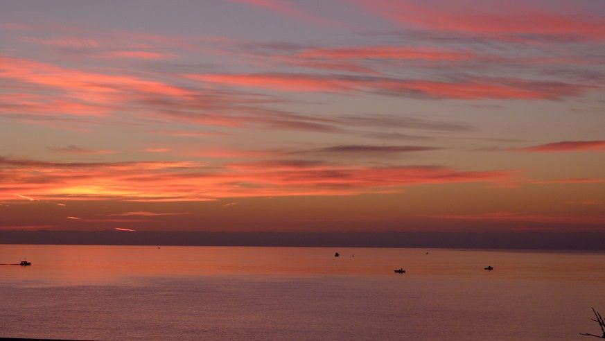
Down by the fjord today, looking NE. Calm and clear. Temperature ca 10C / 50F. This is ca 14.25 CET / 2.25 PM. The sun is setting as early as 15:48.
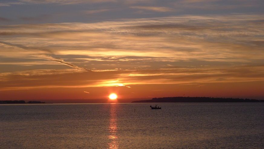
The entrance to the new marina, looking NW.
Looking W towards a residential area, using zoom. In the background the mt Gråkallen (552 m asl) in Bymarka city forest.
Then I went up in the hills on the eastern side of the city. This is the small lake Estenstad, 250 m asl. This is at 15:20 CET, so sun is setting very soon and is very low. Temperature ca 6C / 42F. The suns rays skirting the top of the hill. By now in November it is very quiet here in the closed boreal forest. No insects buzzing by, most of the birds have flown south. Some species of birds left though, and you might meet a moose or two.
Near the same lake.
The low elevations encircling Trondheimsfjord is by scientists here regarded as the northernmost area in the world were there are areas with boreonemoral vegetation zone - the zone where the boreal meets the temperate - with a mix of boreal vegetation (spruce, birch etc) as well as nemoral vegetation (oak, elm, maple). But most areas are dominated by boreal species, and certainly up here at 250 m asl, 5 km from the fjord, and near a lake which will act as a frost hollow in winter and be more prone to late spring freezes. But now the invasive Sycamore maple is spreading even up here. It was easy to spot now as the boreal trees by now have lost their leaves (mostly), while the yellow leafs of the maple trees are still there. Only small trees now, but that will change as Sycamore can get large and old.
Doesn't look like 65°F at all. Not so much because of the bare trees, but more because of the sky. I tend to associate slate grey, featureless skies with cooler temps.
We have that type of sky anytime of year, probably why I never associate the sky to temps at surface. However... it was very warm for the time so guess it fits the "warm look"? lol
nice pics. Sad about the concrete on every piece of land. I see similar happenings here. In fact they decided to build a 2 story building in a parking lot. A parking lot that was always packed during the holidays and it hides a store front from the street now.
Interesting house design. I don't like it.
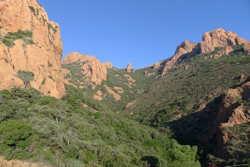
Very green in that area for November. Wow.
Google car must of had mud tires. Cool road!! Did you go biking down it?
Please register to post and access all features of our very popular forum. It is free and quick. Over $68,000 in prizes has already been given out to active posters on our forum. Additional giveaways are planned.
Detailed information about all U.S. cities, counties, and zip codes on our site: City-data.com.

 Please register to participate in our discussions with 2 million other members - it's free and quick! Some forums can only be seen by registered members. After you create your account, you'll be able to customize options and access all our 15,000 new posts/day with fewer ads.


 A parking lot that was always packed during the holidays and it hides a store front from the street now.
