Fairburn, Georgia Neighborhood Map - Income, House Prices, Occupations, Boundaries
Data:
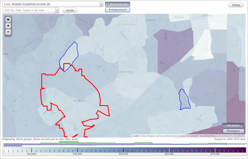
- City boundary
- Neighborhood boundaries
Business Search - 14 Million verified businesses
Neighborhoods:
Dodson Woods,
Merrywood Estates
Merrywood Estates neighborhood in Fairburn statistics: (
Find on map)
Area: 0.328
square milesRoads and streets: Smoke Ridge Dr; Brown Dr S; Merrywood Way; Keels Ln; Bethsaida Rd; Commonwood Pl; Springtree Ct; Loverwood Ct; Squirrel Way; Lynda Ln; Smoke Ridge Ct; Whirlwind Ct; Deerrun Trl; Woody Path Ln; Bethsaida Woods Dr; Smoke Ridge Way.
Other features: Morning Crk.
Merrywood Estates neighborhood detailed profile
- All U.S. Cities
- Georgia, GA smaller cities, GA small cities
- Fairburn, GA
- US Neighborhood Maps
- Fairburn, Georgia Neighborhood Map

