Snellville, Georgia Neighborhood Map - Income, House Prices, Occupations, Boundaries
Data:
- City boundary
- Neighborhood boundaries
Business Search - 14 Million verified businesses
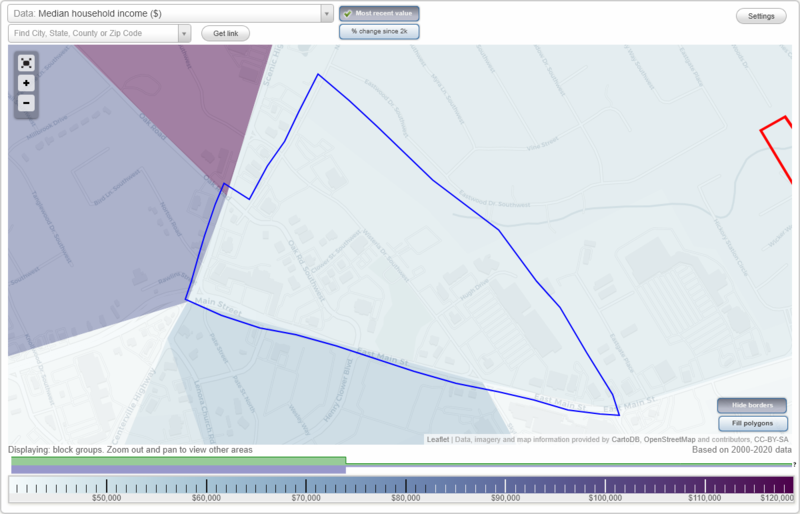
Downtown neighborhood in Snellville statistics: (
Find on map)
Area: 0.235
square milesHighways in this neighborhood: State Rte 10 (US Hwy 78, E Main St); Scenic Hwy (State Rte 124).
Roads and streets: Wisteria Dr SW; Oak Rd SW; Hugh Dr; North Rd SW; Clower St SW; Oak Rd.
Downtown neighborhood detailed profile
- All U.S. Cities
- Georgia, GA smaller cities, GA small cities
- Snellville, GA
- US Neighborhood Maps
- Snellville, Georgia Neighborhood Map

