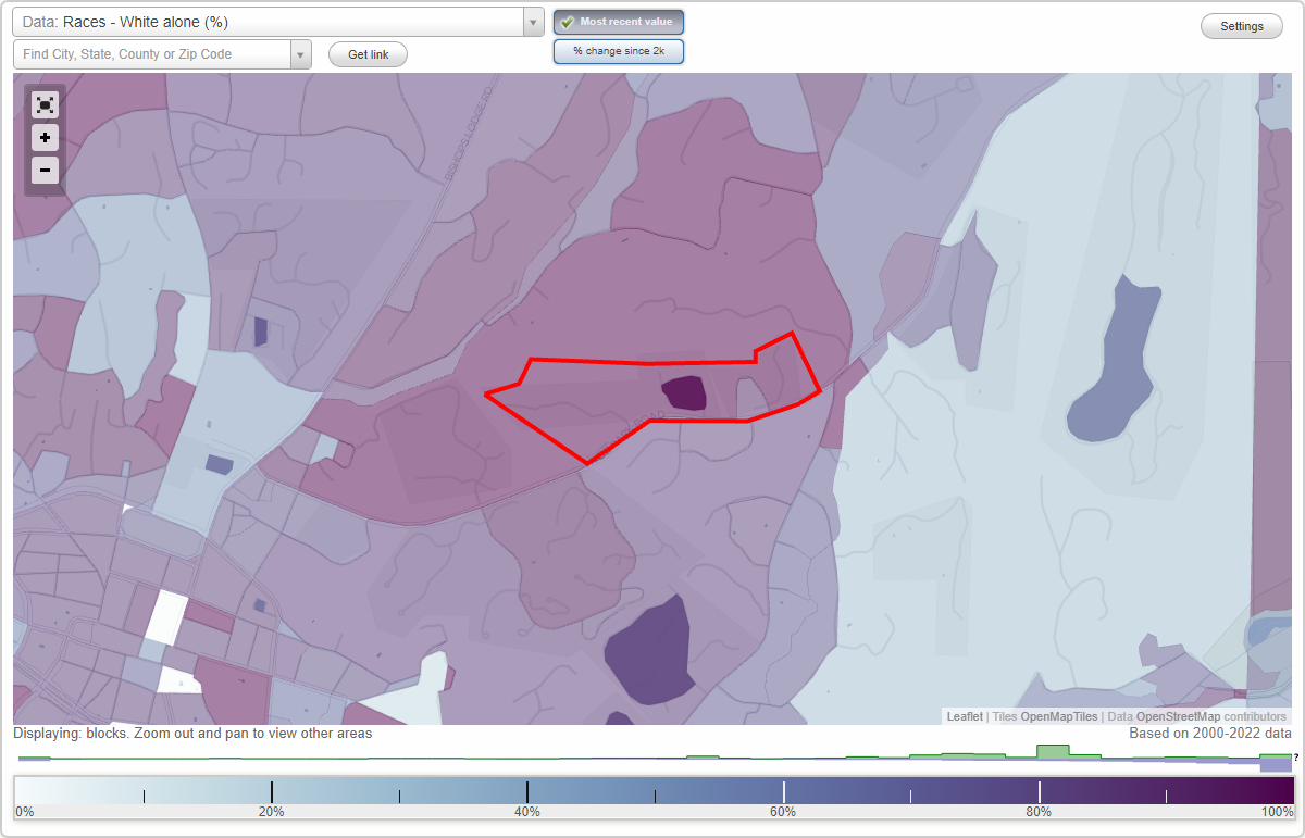
East neighborhood in Santa Fe, New Mexico (NM), 87501 detailed profile
Settings
X

Business Search - 14 Million verified businesses
Area: 0.101 square miles
City-data.com crime index for city in 2020 (higher means more crime):
| City: | 121.4 |
| U.S. average: | 219.5 |
Highways in this neighborhood:
Hyde Park Rd (State Rte 475)
Length: 0.38 miles
Directions: E-W, SW-NE
Address range: 1448 to 1611
Directions: E-W, SW-NE
Address range: 1448 to 1611
Roads and streets:
Cam del Este
Length: 0.36 miles
Directions: E-W, SE-NW, SW-NE
Address range: 800 to 899
Directions: E-W, SE-NW, SW-NE
Address range: 800 to 899
Cam de Las Trampas
Length: 0.21 miles
Directions: E-W, N-S, SE-NW, SW-NE
Address range: 800 to 899
Directions: E-W, N-S, SE-NW, SW-NE
Address range: 800 to 899
Cam de Jemez
Length: 0.20 miles
Directions: E-W, N-S, SE-NW
Address range: 800 to 899
Directions: E-W, N-S, SE-NW
Address range: 800 to 899
Cam de Levante
Length: 0.18 miles
Directions: E-W, N-S, SE-NW, SW-NE
Address range: 800 to 899
Directions: E-W, N-S, SE-NW, SW-NE
Address range: 800 to 899
Cam Chaco
Length: 0.18 miles
Directions: E-W, N-S, SE-NW, SW-NE
Address range: 800 to 899
Directions: E-W, N-S, SE-NW, SW-NE
Address range: 800 to 899
Pla del Este
Length: 0.04 miles
Directions: E-W, SW-NE
Address range: 826 to 899
Directions: E-W, SW-NE
Address range: 826 to 899