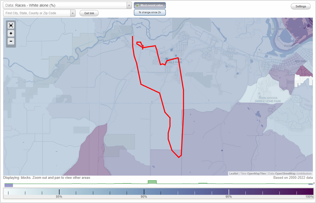
Harliss neighborhood in Welch, Minnesota (MN), 55066, 55089 detailed profile
Settings
X

Highways in this neighborhood:
US Hwy 61
Length: 3.19 miles
Directions: E-W, SE-NW
Address range: 5178 to 6599
Directions: E-W, SE-NW
Address range: 5178 to 6599
240th St E (US Hwy 61)
Length: 1.65 miles
Directions: E-W, SE-NW
Address range: 17100 to 24799
Directions: E-W, SE-NW
Address range: 17100 to 24799
Roads and streets:
Mount Carmel Rd (County 46 Blvd)
Length: 3.14 miles
Directions: E-W, N-S, SE-NW, SW-NE
Address range: 1 to 6799
Directions: E-W, N-S, SE-NW, SW-NE
Address range: 1 to 6799
County 31 Blvd
Length: 1.42 miles
Directions: E-W, SE-NW, SW-NE
Address range: 17000 to 17999
Directions: E-W, SE-NW, SW-NE
Address range: 17000 to 17999
Cannon Bottom Rd
Length: 1.10 miles
Directions: E-W, N-S, SE-NW, SW-NE
Address range: 100 to 1099
Directions: E-W, N-S, SE-NW, SW-NE
Address range: 100 to 1099
County 18 Blvd (Praire Island Blvd)
Length: 0.71 miles
Directions: N-S, SE-NW, SW-NE
Directions: N-S, SE-NW, SW-NE
Collischan Rd
Length: 0.63 miles
Directions: E-W, SE-NW
Address range: 5088 to 5899
Directions: E-W, SE-NW
Address range: 5088 to 5899
Cutler Hill Rd
Length: 0.30 miles
Directions: E-W, SE-NW
Directions: E-W, SE-NW
244th Street Way
Length: 0.06 miles
Directions: E-W, SE-NW
Directions: E-W, SE-NW
Tower View Dr
Length: 0.06 miles
Directions: E-W, SE-NW
Address range: 100 to 5399
Directions: E-W, SE-NW
Address range: 100 to 5399
Moundview Dr
Length: 0.03 miles
Directions: N-S, SW-NE
Address range: 5162 to 5299
Directions: N-S, SW-NE
Address range: 5162 to 5299
Westwood Hills Dr
Length: 0.01 miles
Direction: SW-NE
Direction: SW-NE