Please register to participate in our discussions with 2 million other members - it's free and quick! Some forums can only be seen by registered members. After you create your account, you'll be able to customize options and access all our 15,000 new posts/day with fewer ads.
Some friends on the board have asked to see pictures of British Columbia and the south-west area of the province where I live so I decided to make up a topic about it. Please be advised, the pix are not great quality, it's just a little point-and-shoot camera and most of the pix are quite grainy. Nearly all are taken from a great distance and had to be cropped and resized.
I'll be adding more here as time allows, and if anybody else here has pictures of BC that they'd like to add here, please do, you are more than welcome.
Starting with some pix taken from the watch tower at Reifel Island wild bird sanctuary - looking west across the wetlands and the Straight of Georgia towards Vancouver Island in the far distance (you can just barely see the mountains on the island).
These next ones are taken from Burnaby Mountain (overcast day) overlooking the city of Vancouver to the west, and Burrard Inlet to the north and east.
This is the Abbey in Mission, taken on a very cloudy day. Mission is on the north side of Fraser Valley, about half way between Vancouver and Hope. There is a lookout from the Abbey grounds that looks out over the Fraser River and some of the farmlands around there.
On a sunny day a couple of weeks ago I drove up the north side of the valley stopping at places in Pitt Meadows, Mission, Deroche, Kent, and ending up at my final destination at Harrison Lake. I took a lot of pictures of the mountains, lakes, rivers and farm lands on the way. These first are from the dikes along the rivers in Pitt Meadows.
On Alouette River dikes, looking south towards Mt. Baker (in Washington state).
Blueberry plantation & Mt. Baker in distance.
Alouette River and Golden Ears Mountain
Alouette river
A family canoeing on the Alouette
Pitt River
Pitt River with a closer view of Swan-E-Set Bay golf resort, and Pacific Ranges Mountains in the distance.
Acres and acres of commercial greenhouses (flowers) as seen from Pitt River dikes. These kinds of greenhouses are a common sight all over the entire Fraser Valley.
Water treatment center for these greenhouses, the water comes from the Pitt River nearby and gets purified in the tanks, with plant nutrients added.
Heading south east, this is a closer view of Mt. Baker (it is a semi-dormant volcano about 100 miles away), and the buildings seen on the hillside in the distance are part of the town of Mission.
On the dikes of Nicomen River near Deroche, Mount Cheam on the south side of the valley in the distance.
A farm in the valley, Mt. Cheam in distance
Deroche Mountain (looking north from above noted farm)
A corn farm in Kent Harrison Flats with Mt. Cheam in the distance. The corn is already planted and tiny shoots are just starting to come up now.
Here is Harrison Lake (it's very big, twisting and winding so you can't see all of it) - looking north east with the Pacific Coast Range Mountains continuing eastward.
South Side of Harrison Lake, part of the beach and the kiddie pool.
Having driven along the south side of Harrison lake to Green Point Provincial Park.
Big trees in the park, they are lit up from underneath by flickering sunlight reflecting off the water.
A giant cedar tree that had it's top lopped off many years ago, it continued to grow horizontally outwards and dwarfs everything around it.
Visitors who came here during the 2010 Winter Olympics built many inukshucks along the beaches, these are just 2 examples.
A very big tree trunk growing out of a solid rock shelf of green and white alabaster and white quartz.
A close up of the colored banding on the stone.
That's all for now, more to come later. Again, I apologize for the poor quality of the photos but it still gives you an idea of what the surrounding mountains and farmlands are like in the valley.
Beautiful pics, breathtaking! Thanks, Zoisite!
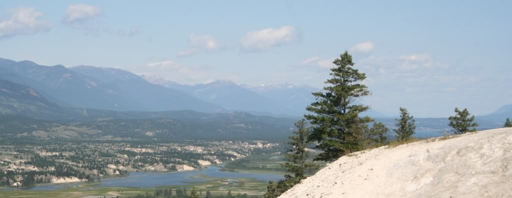
Here is one of when I visited the Fairmont resort in B.C. last year:
Very nice, and thank you. I guess that would be the Fairmont Hotsprings resort in the Columbia Valley, near the Rocky Mountains. It's on my "To Do" list!
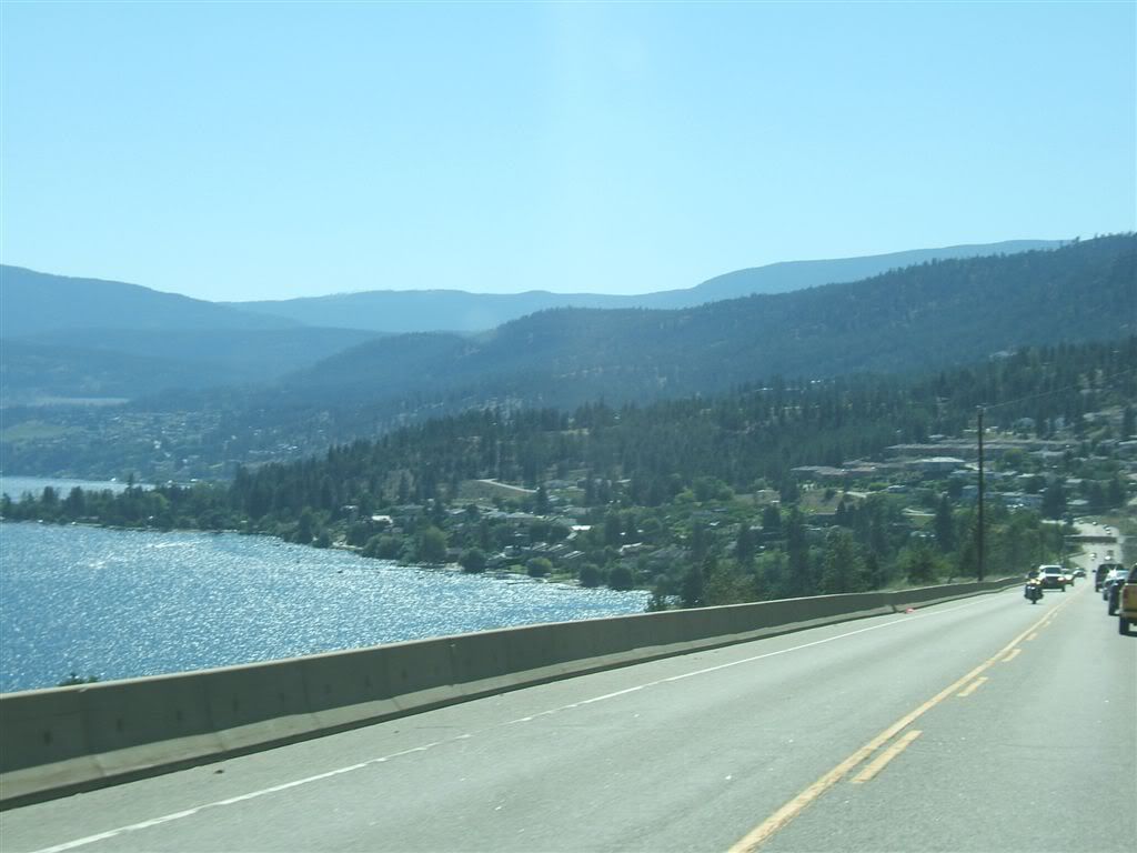
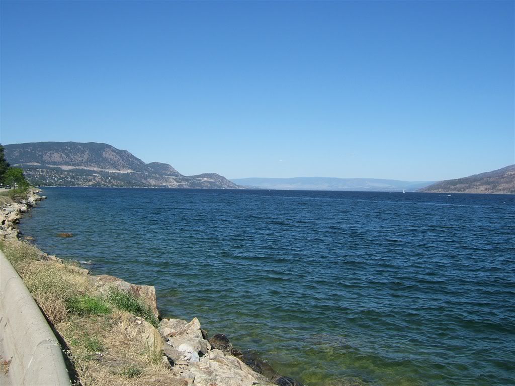
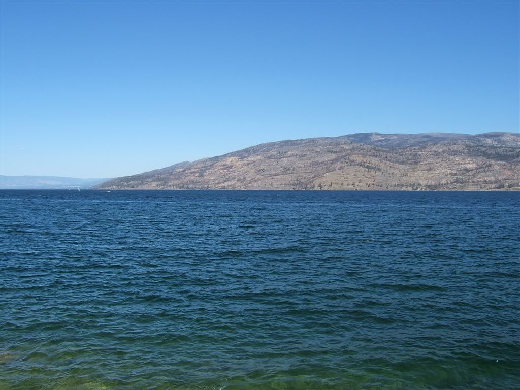
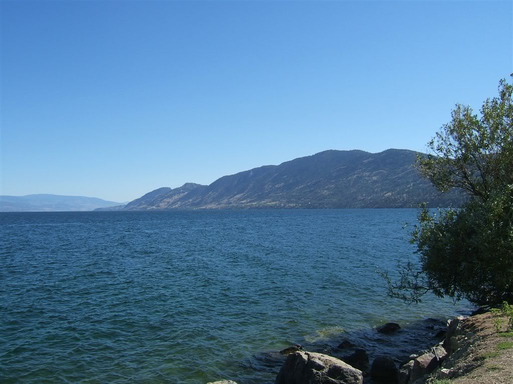
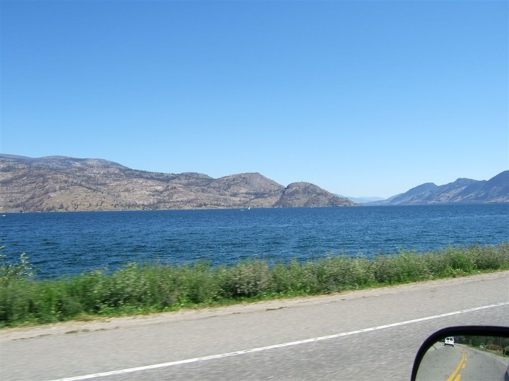
Beautiful pictures of the lake and hillsides Warptman. For those who don't know, the Okanagan region is home of abundant orchards - apples, peaches, apricots, cherries - all manner of other fruits and berry bushes, the BEST succulent tomatoes, and vinyards that produce some of the best wines in Canada, including ice wine! Lake Okanagan is a huge lake and the home of the legendary "Ogopogo", an aquatic monster kind of like "Nessie" the Loch Ness monster in Scotland.
Great, great pictures - Zoisite!! Thank you for sharing!
Please register to post and access all features of our very popular forum. It is free and quick. Over $68,000 in prizes has already been given out to active posters on our forum. Additional giveaways are planned.
Detailed information about all U.S. cities, counties, and zip codes on our site: City-data.com.

 Please register to participate in our discussions with 2 million other members - it's free and quick! Some forums can only be seen by registered members. After you create your account, you'll be able to customize options and access all our 15,000 new posts/day with fewer ads.