Please register to participate in our discussions with 2 million other members - it's free and quick! Some forums can only be seen by registered members. After you create your account, you'll be able to customize options and access all our 15,000 new posts/day with fewer ads.
I wonder how strong of an impact this will have in Maine and the Atlantic provinces. Is the brunt of the storm going to be south of the provinces?
Bangor, ME is reporting heavy snow and wind gusts to 45 MPH...temp 11 F/-12 C, windchill -10 F/-23 C. The windchills in the areas taking the brunt of the storm must be nasty.
NWS Mount Holly apologizing for the forecast. It's fun and easy to make fun of meteorologists and politicians, but forecasting is difficult and it's often a case of damned if they do, damned if they don't. That said, perhaps it's best to be conservative.
NWS Mount Holly apologizing for the forecast. It's fun and easy to make fun of meteorologists and politicians, but forecasting is difficult and it's often a case of damned if they do, damned if they don't. That said, perhaps it's best to be conservative.
Wow. Nice post.... Meanwhile....,. NWS Boston is in the highlight.
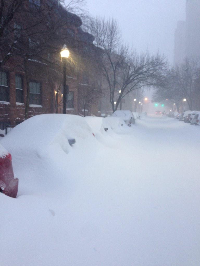
Not done yet. Eastern MA is getting Hammered all day. I haven't seen the map without blues over them in a while! Temps in the teens guess what they are with wind.
Not to forget Eastern CT as well.. they have been getting more snow. Storm still off the MA coast there.
You guys have to check out some photos from NWS Boston! Some are saying its worse than the October snow storm. Consider yourselves LUCKY if you didn't get 2 feet or 60mph winds!
I just caught the tail end of the news this morning and the forecaster was saying that most forecasters were putting more faith in the model that accurately predicted Hurricane Sandy and were basing their predictions on that.
I didn't hear what he said before that though. Does anyone know what model they used for Hurricane Sandy, and which model was more accurate for this storm?
thanks, Laurie
The Euro model was correct about hurricane Sandy's path. In this case, the Euro had the storm system further to the west resulting in a lot more snow in NYC, whereas the new GFS (American model) more accurately had the storm further to the east. I believe the Canadian model also had the storm further to the east.
Please register to post and access all features of our very popular forum. It is free and quick. Over $68,000 in prizes has already been given out to active posters on our forum. Additional giveaways are planned.
Detailed information about all U.S. cities, counties, and zip codes on our site: City-data.com.

 Please register to participate in our discussions with 2 million other members - it's free and quick! Some forums can only be seen by registered members. After you create your account, you'll be able to customize options and access all our 15,000 new posts/day with fewer ads.