What do your cities borders look like? (best, state, better)
Please register to participate in our discussions with 2 million other members - it's free and quick! Some forums can only be seen by registered members. After you create your account, you'll be able to customize options and access all our 15,000 new posts/day with fewer ads.
Not sure what exactly you mean by "borders." I thought you were referring to the outer city limits but those photos confuse me. Sorry.
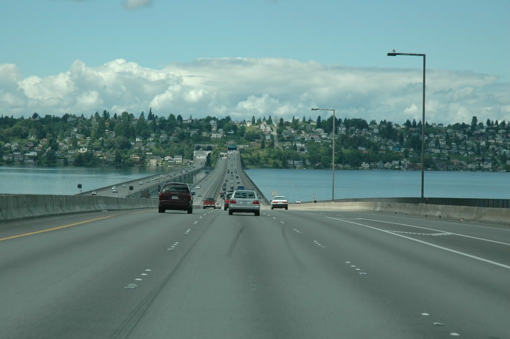
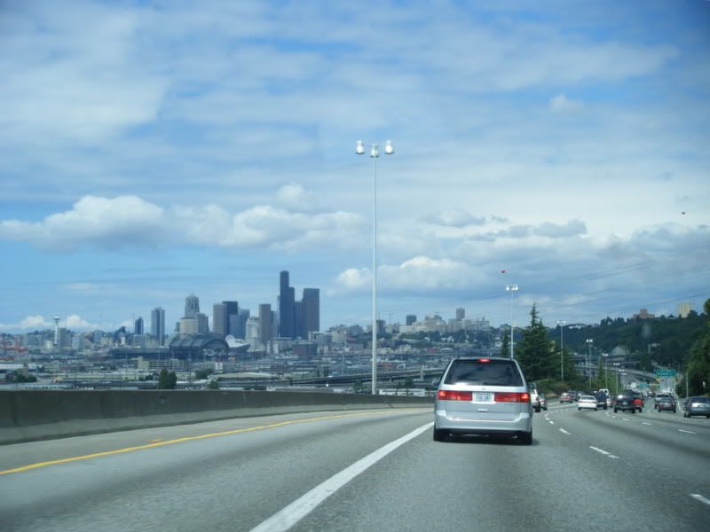
That is the is city border of Philadelphia in the picture, the city doesnt really stop just changes municipalities, all cities will look a little different
The pictures are from Upper Darby, Montgomery County looking back at 69th Street where Philadelphia begins on Market Street.
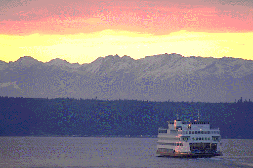
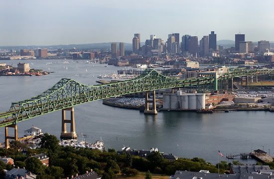
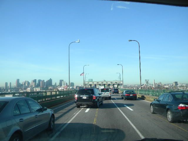
Boston is the bottom. Cambridge is the top. There are probably better pics out there that are not public, but you can just do a search for "Charles river" and find a bunch.
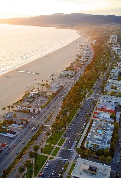
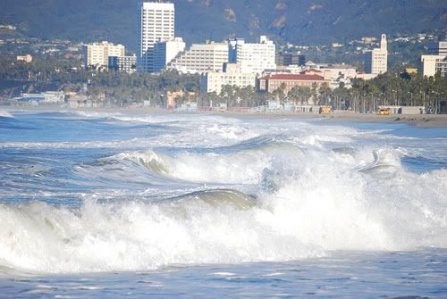
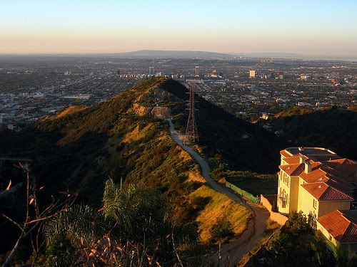
In Los Angeles the border to the west and south is the Pacific Ocean:
To the north are mountains
Don't have any photos of the eastern border but it is just suburban San Gabriel valley
Casciano Bridge between Newark and the Bayonne/Jersey City line:
Flickr Photo Download: newark bay bridges at sunset 2 (http://www.flickr.com/photos/kevinskoepke/2999401102/sizes/l/ - broken link)
From the Holland Tunnel (this is the NYC-bound approach, though. Couldn't find pics the other way into JC)
Flickr Photo Download: Welcome to "Holland" (http://www.flickr.com/photos/91499534@N00/351175769/sizes/l/ - broken link)
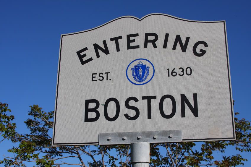
And these are the typical signs you see around the metro when your entering the Orlando city limits...
Please register to post and access all features of our very popular forum. It is free and quick. Over $68,000 in prizes has already been given out to active posters on our forum. Additional giveaways are planned.
Detailed information about all U.S. cities, counties, and zip codes on our site: City-data.com.

 Please register to participate in our discussions with 2 million other members - it's free and quick! Some forums can only be seen by registered members. After you create your account, you'll be able to customize options and access all our 15,000 new posts/day with fewer ads.


 I thought you were referring to the outer city limits but those photos confuse me. Sorry.