Zion, IL Current Weather and Forecast
Zion, IL Weather Forecast
9:03 PM CDT Wed Jun 19 2024
REST OF TONIGHT - Partly cloudy late in the evening, then
becoming mostly cloudy. A slight chance of showers and
thunderstorms. Patchy fog after midnight. Lows in the upper 60s.
Northeast winds 5 to 10 mph. Chance of precipitation 20 percent.
THURSDAY - Mostly cloudy with a slight chance of showers and
thunderstorms in the morning, then partly cloudy with a chance of
showers and thunderstorms in the afternoon. Highs in the lower
80s inland, but only in the upper 70s near the lake. Northeast
winds 5 to 10 mph. Chance of precipitation 40 percent.
THURSDAY NIGHT - Partly cloudy. A slight chance of showers and
thunderstorms in the evening. Lows in the mid 60s. North winds
5 to 10 mph. Chance of precipitation 20 percent.
FRIDAY - Partly cloudy with a slight chance of showers and
thunderstorms. Highs in the upper 80s inland, but only around
80 near the lake. East winds around 5 mph. Chance of
precipitation 20 percent.
FRIDAY NIGHT - Partly cloudy in the evening, then becoming
mostly cloudy. Lows in the upper 60s. Southeast winds around
5 mph, becoming south after midnight.
SATURDAY - Mostly cloudy. A slight chance of showers and
thunderstorms in the morning, then a chance of showers and
thunderstorms in the afternoon. Highs in the lower 90s. Chance of
precipitation 40 percent.
SATURDAY NIGHT - Mostly cloudy. Showers with thunderstorms
likely in the evening, then a chance of showers and thunderstorms
after midnight. Lows around 70. Chance of precipitation
80 percent.
SUNDAY - Partly cloudy with a slight chance of showers and
thunderstorms in the morning, then mostly sunny in the afternoon.
Highs in the mid 80s. Chance of precipitation 20 percent.
SUNDAY NIGHT - Mostly clear. Lows in the lower 60s.
MONDAY - Mostly sunny. Highs in the mid 80s inland, but only
around 80 near the lake.
MONDAY NIGHT - Mostly clear. Lows in the mid 60s.
TUESDAY - Partly cloudy. Highs in the lower 90s inland, but only
in the upper 80s near the lake.
TUESDAY NIGHT - Mostly cloudy in the evening, then becoming
partly cloudy. A chance of showers and thunderstorms. Lows in the
upper 60s. Chance of precipitation 40 percent.
WEDNESDAY - Partly cloudy with a chance of showers and
thunderstorms. Highs in the mid 80s inland, but only in the lower
80s near the lake. Chance of precipitation 30 percent.
National Weather Service Chicago/Romeoville, IL
Zion, IL Current Weather Conditions
CHICAGO/WAUKEGAN REGIONAL, IL, United States (KUGN) 42-25N 087-52W
Jun 20, 2024 - 12:51 AM EDT / 2024.06.20 0451 UTC
Wind: from the NNE (020 degrees) at 6 MPH (5 KT):0
Visibility: 10 mile(s):0
Sky conditions: clear
Temperature: 72.0 F (22.2 C)
Dew Point: 66.0 F (18.9 C)
Relative Humidity: 81%
Pressure (altimeter): 30.24 in. Hg (1024 hPa)
Data:
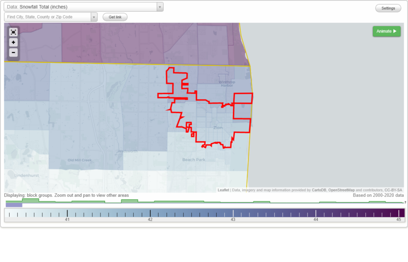
Snowfall Total (inches)
Temperature - Highest of record (°F)
Temperature - Lowest of record (°F)
Mean number of days with minimum temperature 32 °F or lower
Mean number of days with maximum temperature 90 °F or higher
Normal precipitation (inches)
Mean number of days with precipitation 0.01 inches or more
Maximum wind speed (MPH)
Normal daily mean temperature (°F)
Normal cooling degree days, Base 65 °F
Normal heating degree days, Base 65 °F
Normal daily maximum temperature (°F)
Normal daily minimum temperature (°F)
Average percent of possible sunshine (%)
Cloudiness - Mean number of days clear
Cloudiness - Mean number of days partly cloudy
Cloudiness - Mean number of days cloudy
Average relative humidity - Morning (%)
Average relative humidity - Evening (%)
Tornadoes in 1950-2018
Tornadoes in 1950-1954
Tornadoes in 1955-1959
Tornadoes in 1960-1964
Tornadoes in 1965-1969
Tornadoes in 1970-1974
Tornadoes in 1975-1979
Tornadoes in 1980-1984
Tornadoes in 1985-1989
Tornadoes in 1990-1994
Tornadoes in 1995-1999
Tornadoes in 2000-2004
Tornadoes in 2005-2009
Tornadoes in 2010-2014
Tornadoes in 2015-2018
Earthquakes in 2000
Earthquakes in 2001
Earthquakes in 2002
Earthquakes in 2003
Earthquakes in 2004
Earthquakes in 2005
Earthquakes in 2006
Earthquakes in 2007
Earthquakes in 2008
Earthquakes in 2009
Earthquakes in 2010
Earthquakes in 2011
Earthquakes in 2012
Earthquakes in 2013
Earthquakes in 2014
Earthquakes in 2015
Earthquakes in 2016
Earthquakes in 2017
Earthquakes in 2018
Earthquakes in 2019
Earthquakes in 2020
Earthquakes in 2000-2020
Snowfall Total (inches)
Temperature - Highest of record (°F)
Temperature - Lowest of record (°F)
Mean number of days with minimum temperature 32 °F or lower
Mean number of days with maximum temperature 90 °F or higher
Normal precipitation (inches)
Mean number of days with precipitation 0.01 inches or more
Maximum wind speed (MPH)
Normal daily mean temperature (°F)
Normal cooling degree days, Base 65 °F
Normal heating degree days, Base 65 °F
Normal daily maximum temperature (°F)
Normal daily minimum temperature (°F)
Average percent of possible sunshine (%)
Cloudiness - Mean number of days clear
Cloudiness - Mean number of days partly cloudy
Cloudiness - Mean number of days cloudy
Average relative humidity - Morning (%)
Average relative humidity - Evening (%)