Please register to participate in our discussions with 2 million other members - it's free and quick! Some forums can only be seen by registered members. After you create your account, you'll be able to customize options and access all our 15,000 new posts/day with fewer ads.
I'm impressed at the entire Upper Mid West/Great Lakes areas but I'm trying to imagine what areas in Canada around Hudson Bay are going through. Curious on some stats up in central Canada West or South West of Hudson Bay
Lakes back to 81% frozen now after dropping to 62%. Impressive 3/4 still of ice.
Very impressive Great Lakes ice coverage, even parts of Lake Ontario,
Lake Ontario is much deeper than Erie and in my neck of the woods, Burlington,
it never iced over, even in this frigid winter.
And what frigid winter it's been, continuous snow pak for months, very unusual for here,
when I look outside I think we'll be lucky to see green grass by May
VENTURA COUNTY MOUNTAINS-
LOS ANGELES COUNTY MOUNTAINS EXCLUDING THE SANTA MONICA RANGE-
INCLUDING THE CITIES OF...LOCKWOOD VALLEY...MOUNT PINOS...ACTON...
MOUNT WILSON...SANDBERG
1115 AM PST FRI FEB 28 2014
...WINTER STORM WARNING REMAINS IN EFFECT UNTIL 3 AM PST SUNDAY...
* SNOW LEVELS...SNOW LEVELS 8000 FEET WILL LOWER TO 6000 FEET
OVERNIGHT INTO SATURDAY.
* SNOW ACCUMULATIONS...SNOW ACCUMULATIONS BETWEEN 6000 AND 8000
FEET WILL RANGE FROM 6 TO 12 INCHES WITH LOCAL AMOUNTS UP TO 18
INCHES. ABOVE 8000 FEET...SNOW ACCUMULATIONS WILL RANGE FROM 1
TO 3 FEET. ISOLATED TOTALS UP TO 4 FEET ON THE HIGHER PEAKS
So 15-20 foot waves on some coastal areas and up to 4 feet on the high peaks possible. Cool. Hope everyone stays safe and not much damage.
An article in the Bakersfield Californian says that the snow pack, as measured on Feb 27th is at a mere 24% of normal so even these coming storms will not be able to make up the difference to any great extent.
About the only good part of this is that those few people who hope/plan to try and through hike the Pacific Crest Trail from the Mexican border up to the Canadian border will not be prevented by extreme snow levels in the southern Sierrras as they are some years.
* SNOW ACCUMULATIONS...SNOW ACCUMULATIONS BETWEEN 6000 AND 8000
FEET WILL RANGE FROM 6 TO 12 INCHES WITH LOCAL AMOUNTS UP TO 18
INCHES. ABOVE 8000 FEET...SNOW ACCUMULATIONS WILL RANGE FROM 1
TO 3 FEET. ISOLATED TOTALS UP TO 4 FEET ON THE HIGHER PEAKS
So 15-20 foot waves on some coastal areas and up to 4 feet on the high peaks possible. Cool. Hope everyone stays safe and not much damage.
Interesting how no snow is forecast below 6000 feet. Take a look at the forecast for Yosemite Valley (4000 feet):
We close the books on Chicago's coldest and snowiest meteorological winter of the past 35 years at midnight Friday night: Since 1978-79. The 3 month December through February period ranked 3rd coldest averaging 18.8-deg (versus the normal of 26.4-deg) while the current snow season has a rank of 3rd snowiest at 67.4" (versus the normal of 28.1").
A new index---the ACCUMULATED WINTER SEASON SEVERITY INDEX or "AWSSI" (pronounced like "Aussie") INDEX, quite possibly destined to become the equivalent of the Fujita Scale and Saffir-Simpson scales, quantifies the relative severity of a winter season by accumulating temp, snowfall and snow depth info over an entire season---plays perhaps the clearest reading on the relative severity of the meteorological winter season here and elsewhere. The brainchild of meteorologist Barbara Mayes Bousted of the NWS Forecast Office in Omaha and meteorologist Stephen D. Hillberg of the Midwestern Regional Climate Center, who describe the index in the accompanying link to the AMS paper on the subject, places Chicago's winter at 3rd worst in the city's 143-year instrument record, with the cold season still underway and the potential for that ranking to possibly climb should the cold and snow keep coming.
The AWSSI index ranks this winter the worst on record in Detroit while placing the winter in Indianapolis, Philadelphia and New York in the Top 5, Atlanta at 18th worst and Washington, DC as 28th worst.
February 2014's temp anomalies (departures from normal) are mapped here on this WeatherBell data base temp analysis for North America.
Yup, look at the 850mb temp map I posted. All above freezing there and across the West. Too warm for snow below 6000. Might get some snow showers at 5500 though at times.
The 700mb temps are even slower to change then the 850mb level and they are below freezing at that level all over there. Would love to see a 00z sounding from there.
Only Texas, New Mexico and Arizona have the 700mb above freezing.
Quote:
Originally Posted by Adi from the Brunswicks
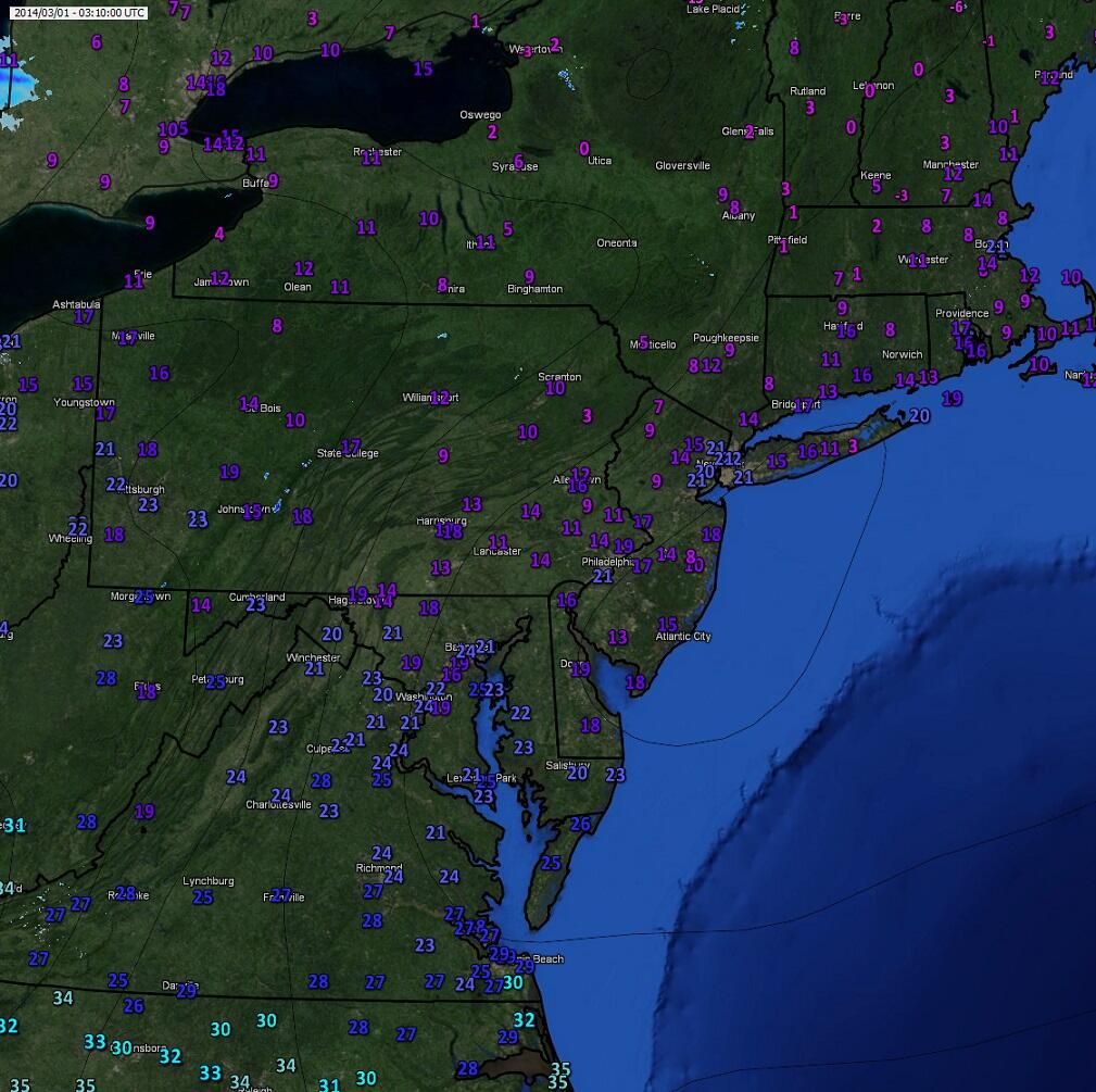
That 9 F in NJ is exactly where I live.
I'm at 12°. Air trying to get inside. My wood stove working overtime
Please register to post and access all features of our very popular forum. It is free and quick. Over $68,000 in prizes has already been given out to active posters on our forum. Additional giveaways are planned.
Detailed information about all U.S. cities, counties, and zip codes on our site: City-data.com.

 Please register to participate in our discussions with 2 million other members - it's free and quick! Some forums can only be seen by registered members. After you create your account, you'll be able to customize options and access all our 15,000 new posts/day with fewer ads.