Anahola, Hawaii Neighborhood Map - Income, House Prices, Occupations, Boundaries
Data:
- City boundary
- Neighborhood boundaries
Business Search - 14 Million verified businesses
Neighborhoods:
Aliomanu Ahupua`a,
Anahola Ahupua`a,
Kaakaaniu Ahupua`a,
Kamalomaloo Ahupua`a,
Moloaa Ahupua`a,
Papaa Ahupua`a
Aliomanu Ahupua`a neighborhood in Anahola statistics: (
Find on map)
Area: 2.282
square milesHighways in this neighborhood: Kuhio Hwy (State Hwy 56).
Roads and streets: Aliomanu Rd; Kukuna Rd; Aliomanu Estates Dr; Hui Rd.
Other features: Aliomanu Strm.
Aliomanu Ahupua`a neighborhood detailed profile
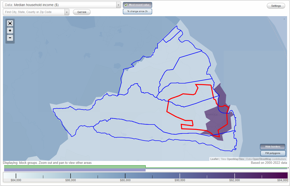
Anahola Ahupua`a neighborhood in Anahola statistics: (
Find on map)
Area: 9.888
square milesHighways in this neighborhood: State Hwy 56 (Kuhio Hwy).
Roads and streets: Hokualele Rd; Aliomanu Rd; Kealia Rd; Anahola Rd; Kukuihale Rd; Mahuahua Rd; Kalalea Rd; Kawelo St; Makaio Rd; Hakuaina Rd; Kamalomaloo Pl; Konona Rd; Manamana Rd; Kikoo Loop; Poha Rd; Kapunohu Rd; Ioane Rd; Pu U Hale Loop; Ma'lama'aina Pl; Ehukai Rd; Pilipoli Rd; Puka O Kalalea St; Mana I Rd; Kamane Rd; Maia Rd; Ahonui Ln; Hulupl; Pahale Rd; Kinohi Rd; Pukaokalalea.
Other features: Anahola Strm; Kaalula Strm; Kaupaku Strm.
Other features: Pili Kai Rd.
Anahola Ahupua`a neighborhood detailed profile
Moloaa Ahupua`a neighborhood in Anahola statistics: (
Find on map)
Area: 4.300
square milesHighways in this neighborhood: Kuhio Hwy (State Hwy 56).
Roads and streets: Koolau Rd; Moloaa Rd; Hui Rd A.
Other features: Moloaa Strm; Papaa Strm.
Moloaa Ahupua`a neighborhood detailed profile
Papaa Ahupua`a neighborhood in Anahola statistics: (
Find on map)
Area: 2.328
square milesHighways in this neighborhood: Kuhio Hwy (State Hwy 56).
Roads and streets: Papaa Rd; Aliomanu Estates Dr; Koolau Rd.
Other features: Papaa Strm.
Papaa Ahupua`a neighborhood detailed profile
- All U.S. Cities
- Hawaii, HI smaller cities, HI small cities
- Anahola, HI
- US Neighborhood Maps
- Anahola, Hawaii Neighborhood Map

