Captain Cook, HI Current Weather and Forecast
Captain Cook, HI Weather Forecast
3:36 AM HST Thu May 9 2024
TODAY - Mostly sunny with isolated showers early in the morning,
then partly sunny with scattered showers in the late morning and
afternoon. Highs 77 to 82. East winds up to 10 mph. Chance of
rain 50 percent.
TONIGHT - Mostly cloudy with scattered showers early in the
evening, then mostly cloudy with isolated showers in the late
evening and overnight. Lows 62 to 68. Southeast winds up to
10 mph. Chance of rain 50 percent.
FRIDAY - Mostly sunny early in the morning then becoming mostly
cloudy. Isolated showers early in the morning, then showers
likely and chance of thunderstorms in the late morning and
afternoon. Highs 76 to 81. Southeast winds up to 10 mph in the
morning becoming light. Chance of rain 70 percent.
FRIDAY NIGHT - Mostly cloudy with scattered showers and chance
of thunderstorms. Lows 63 to 69. Light winds. Chance of rain
40 percent.
SATURDAY - Partly sunny with scattered showers. Highs 78 to 83.
Light winds becoming east up to 10 mph in the afternoon. Chance
of rain 50 percent.
SATURDAY NIGHT - Mostly cloudy. Scattered showers in the
evening, then isolated showers after midnight. Lows 63 to 69.
East winds around 10 mph. Chance of rain 50 percent.
SUNDAY - Mostly sunny with isolated showers in the morning, then
mostly cloudy with scattered showers in the afternoon. Highs
78 to 83. East winds up to 10 mph. Chance of rain 50 percent.
SUNDAY NIGHT - Mostly cloudy in the evening then becoming partly
cloudy. Isolated showers. Lows 64 to 70. East winds around
10 mph. Chance of rain 20 percent.
MONDAY - Mostly sunny with isolated showers in the morning, then
mostly cloudy with scattered showers in the afternoon. Highs
78 to 83. East winds up to 10 mph. Chance of rain 50 percent.
MONDAY NIGHT - Mostly cloudy in the evening then becoming partly
cloudy. Isolated showers. Lows 64 to 70. East winds around
10 mph. Chance of rain 20 percent.
TUESDAY - Mostly sunny with isolated showers in the morning,
then mostly cloudy with scattered showers in the afternoon. Highs
79 to 84. Southeast winds around 10 mph. Chance of rain
50 percent.
TUESDAY NIGHT - Mostly cloudy in the evening then becoming
partly cloudy. Isolated showers. Lows 65 to 71. Southeast winds
around 10 mph. Chance of rain 20 percent.
WEDNESDAY - Mostly sunny with isolated showers in the morning,
then mostly cloudy with scattered showers in the afternoon. Highs
78 to 83. East winds around 10 mph. Chance of rain 50 percent.
National Weather Service Honolulu HI
Captain Cook, HI Current Weather Conditions
KONA INTERNATIONAL AIRPORT, HI, United States (PHKO) 19-44N 156-03W 27M
May 09, 2024 - 12:53 PM EDT / 2024.05.09 1653 UTC
Wind: from the E (090 degrees) at 5 MPH (4 KT):0
Visibility: 10 mile(s):0
Sky conditions: clear
Temperature: 75.0 F (23.9 C)
Dew Point: 66.0 F (18.9 C)
Relative Humidity: 73%
Pressure (altimeter): 29.96 in. Hg (1014 hPa)
Data:
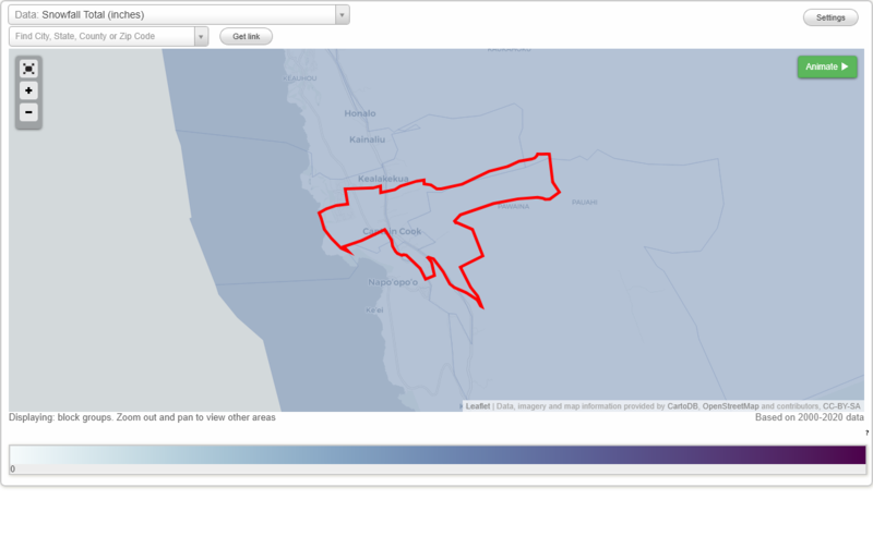
Snowfall Total (inches)
Temperature - Highest of record (°F)
Temperature - Lowest of record (°F)
Mean number of days with minimum temperature 32 °F or lower
Mean number of days with maximum temperature 90 °F or higher
Normal precipitation (inches)
Mean number of days with precipitation 0.01 inches or more
Maximum wind speed (MPH)
Normal daily mean temperature (°F)
Normal cooling degree days, Base 65 °F
Normal heating degree days, Base 65 °F
Normal daily maximum temperature (°F)
Normal daily minimum temperature (°F)
Average percent of possible sunshine (%)
Cloudiness - Mean number of days clear
Cloudiness - Mean number of days partly cloudy
Cloudiness - Mean number of days cloudy
Average relative humidity - Morning (%)
Average relative humidity - Evening (%)
Tornadoes in 1950-2018
Tornadoes in 1950-1954
Tornadoes in 1955-1959
Tornadoes in 1960-1964
Tornadoes in 1965-1969
Tornadoes in 1970-1974
Tornadoes in 1975-1979
Tornadoes in 1980-1984
Tornadoes in 1985-1989
Tornadoes in 1990-1994
Tornadoes in 1995-1999
Tornadoes in 2000-2004
Tornadoes in 2005-2009
Tornadoes in 2010-2014
Tornadoes in 2015-2018
Earthquakes in 2000
Earthquakes in 2001
Earthquakes in 2002
Earthquakes in 2003
Earthquakes in 2004
Earthquakes in 2005
Earthquakes in 2006
Earthquakes in 2007
Earthquakes in 2008
Earthquakes in 2009
Earthquakes in 2010
Earthquakes in 2011
Earthquakes in 2012
Earthquakes in 2013
Earthquakes in 2014
Earthquakes in 2015
Earthquakes in 2016
Earthquakes in 2017
Earthquakes in 2018
Earthquakes in 2019
Earthquakes in 2020
Earthquakes in 2000-2020
Snowfall Total (inches)
Temperature - Highest of record (°F)
Temperature - Lowest of record (°F)
Mean number of days with minimum temperature 32 °F or lower
Mean number of days with maximum temperature 90 °F or higher
Normal precipitation (inches)
Mean number of days with precipitation 0.01 inches or more
Maximum wind speed (MPH)
Normal daily mean temperature (°F)
Normal cooling degree days, Base 65 °F
Normal heating degree days, Base 65 °F
Normal daily maximum temperature (°F)
Normal daily minimum temperature (°F)
Average percent of possible sunshine (%)
Cloudiness - Mean number of days clear
Cloudiness - Mean number of days partly cloudy
Cloudiness - Mean number of days cloudy
Average relative humidity - Morning (%)
Average relative humidity - Evening (%)