Crestline, CA Current Weather and Forecast
Crestline, CA Weather Forecast
1:16 PM PDT Thu May 9 2024
TONIGHT - Clear. Lows 32 to 42 above 6000 feet to 40 to 50 below
6000 feet. Areas of winds northeast 10 mph.
FRIDAY - Mostly sunny. Warmer. Highs 59 to 67 above 6000 feet to
67 to 77 below 6000 feet. Areas of winds north 10 mph becoming
west in the afternoon.
FRIDAY NIGHT - Mostly clear. Lows 35 to 45 above 6000 feet to
42 to 52 below 6000 feet. Areas of winds northwest 10 to 15 mph.
Gusts to 25 mph overnight.
SATURDAY - Sunny. Highs 62 to 70 above 6000 feet to 70 to
78 below 6000 feet. Areas of winds north 10 to 20 mph with gusts
to 30 mph.
SATURDAY NIGHT - Clear. Lows 38 to 48 above 6000 feet to 45 to
55 below 6000 feet. Areas of winds west 10 to 15 mph. Gusts to
30 mph in the evening.
SUNDAY - Sunny. Highs 66 to 75 above 6000 feet to 73 to 82 below
6000 feet.
SUNDAY NIGHT - Clear. Lows 42 to 52.
MONDAY - Mostly sunny. Highs 65 to 75 above 6000 feet to 72 to
82 below 6000 feet.
MONDAY NIGHT - Mostly clear. Lows 41 to 51.
TUESDAY - Mostly sunny. Highs 66 to 76 above 6000 feet to 72 to
82 below 6000 feet.
TUESDAY NIGHT - Mostly clear. Lows 43 to 53.
WEDNESDAY - Mostly sunny. Highs 68 to 78 above 6000 feet to
74 to 84 below 6000 feet.
WEDNESDAY NIGHT - Mostly clear. Lows 44 to 54.
THURSDAY - Mostly sunny. Highs 68 to 78 above 6000 feet to 74 to
84 below 6000 feet.
National Weather Service San Diego CA
Crestline, CA Current Weather Conditions
Data:
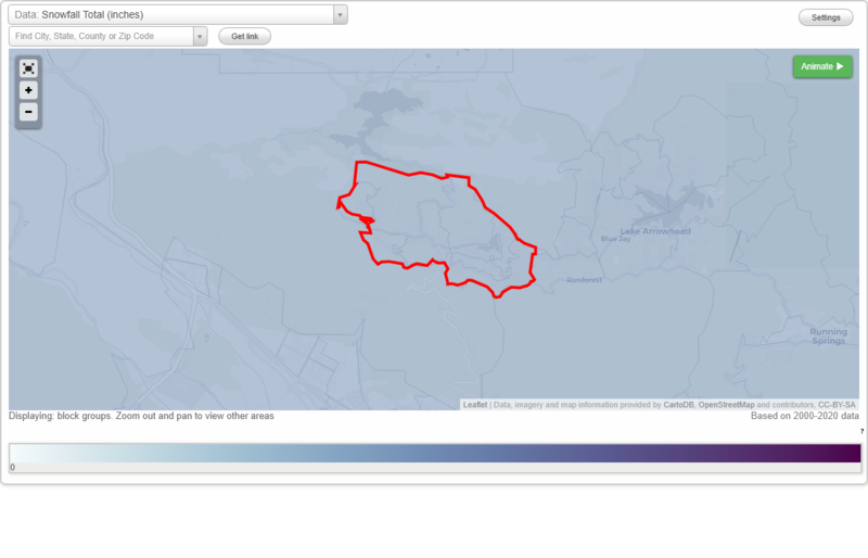
Snowfall Total (inches)
Temperature - Highest of record (°F)
Temperature - Lowest of record (°F)
Mean number of days with minimum temperature 32 °F or lower
Mean number of days with maximum temperature 90 °F or higher
Normal precipitation (inches)
Mean number of days with precipitation 0.01 inches or more
Maximum wind speed (MPH)
Normal daily mean temperature (°F)
Normal cooling degree days, Base 65 °F
Normal heating degree days, Base 65 °F
Normal daily maximum temperature (°F)
Normal daily minimum temperature (°F)
Average percent of possible sunshine (%)
Cloudiness - Mean number of days clear
Cloudiness - Mean number of days partly cloudy
Cloudiness - Mean number of days cloudy
Average relative humidity - Morning (%)
Average relative humidity - Evening (%)
Tornadoes in 1950-2018
Tornadoes in 1950-1954
Tornadoes in 1955-1959
Tornadoes in 1960-1964
Tornadoes in 1965-1969
Tornadoes in 1970-1974
Tornadoes in 1975-1979
Tornadoes in 1980-1984
Tornadoes in 1985-1989
Tornadoes in 1990-1994
Tornadoes in 1995-1999
Tornadoes in 2000-2004
Tornadoes in 2005-2009
Tornadoes in 2010-2014
Tornadoes in 2015-2018
Earthquakes in 2000
Earthquakes in 2001
Earthquakes in 2002
Earthquakes in 2003
Earthquakes in 2004
Earthquakes in 2005
Earthquakes in 2006
Earthquakes in 2007
Earthquakes in 2008
Earthquakes in 2009
Earthquakes in 2010
Earthquakes in 2011
Earthquakes in 2012
Earthquakes in 2013
Earthquakes in 2014
Earthquakes in 2015
Earthquakes in 2016
Earthquakes in 2017
Earthquakes in 2018
Earthquakes in 2019
Earthquakes in 2020
Earthquakes in 2000-2020
Snowfall Total (inches)
Temperature - Highest of record (°F)
Temperature - Lowest of record (°F)
Mean number of days with minimum temperature 32 °F or lower
Mean number of days with maximum temperature 90 °F or higher
Normal precipitation (inches)
Mean number of days with precipitation 0.01 inches or more
Maximum wind speed (MPH)
Normal daily mean temperature (°F)
Normal cooling degree days, Base 65 °F
Normal heating degree days, Base 65 °F
Normal daily maximum temperature (°F)
Normal daily minimum temperature (°F)
Average percent of possible sunshine (%)
Cloudiness - Mean number of days clear
Cloudiness - Mean number of days partly cloudy
Cloudiness - Mean number of days cloudy
Average relative humidity - Morning (%)
Average relative humidity - Evening (%)