Union City, MI Current Weather and Forecast
Union City, MI Weather Forecast
8:58 PM EDT Fri Apr 26 2024
REST OF TONIGHT - Showers likely. A chance of thunderstorms. Not
as cool with lows in the mid 50s. Southeast winds around 15 mph
with gusts up to 25 mph. Chance of rain 70 percent.
SATURDAY - Mostly cloudy with a chance of thunderstorms. Showers
likely, mainly in the morning. More humid with highs in the mid
70s. South winds 15 to 20 mph with gusts up to 40 mph. Chance of
rain 70 percent.
SATURDAY NIGHT - Partly cloudy in the evening, then becoming
mostly cloudy. A slight chance of thunderstorms. A slight chance
of showers in the evening, then a chance of showers after
midnight. Lows in the lower 60s. Southwest winds 15 to 20 mph
with gusts up to 30 mph. Chance of rain 40 percent.
SUNDAY - Mostly cloudy in the morning, then becoming partly
cloudy. A chance of showers. A slight chance of thunderstorms in
the morning, then a chance of thunderstorms in the afternoon.
Highs in the upper 70s. Southwest winds 10 to 15 mph with gusts
up to 25 mph. Chance of rain 40 percent.
SUNDAY NIGHT - Partly cloudy with a slight chance of
thunderstorms. A slight chance of showers in the evening, then a
chance of showers after midnight. Lows in the mid 60s. South
winds 10 to 15 mph with gusts up to 25 mph. Chance of rain
40 percent.
MONDAY - Showers likely with a slight chance of thunderstorms.
Breezy with highs in the mid 70s. Chance of rain 70 percent.
MONDAY NIGHT - Showers likely with a chance of thunderstorms.
Lows in the mid 50s. Chance of rain 70 percent.
TUESDAY - Partly cloudy with a chance of showers with a slight
chance of thunderstorms in the morning, then mostly sunny in the
afternoon. Highs in the lower 70s. Chance of rain 40 percent.
TUESDAY NIGHT - Mostly clear in the evening, then partly cloudy
with a slight chance of showers and thunderstorms after midnight.
Lows in the mid 50s. Chance of rain 20 percent.
WEDNESDAY - Partly cloudy with a slight chance of thunderstorms.
A slight chance of showers in the morning, then a chance of
showers in the afternoon. Highs in the mid 70s. Chance of rain
30 percent.
WEDNESDAY NIGHT - Mostly clear in the evening, then becoming
partly cloudy. A chance of showers and thunderstorms. Lows in the
mid 50s. Chance of rain 30 percent.
THURSDAY - Partly cloudy with a chance of showers with a slight
chance of thunderstorms. Highs in the lower 70s. Chance of rain
40 percent.
THURSDAY NIGHT - Partly cloudy with a chance of showers with a
slight chance of thunderstorms. Lows in the upper 40s. Chance of
rain 40 percent.
FRIDAY - A slight chance of thunderstorms in the morning. Partly
cloudy with a slight chance of showers. Highs in the mid 60s.
Chance of rain 20 percent.
National Weather Service Northern Indiana
Union City, MI Current Weather Conditions
Coldwater, Branch County Memorial Airport, MI, United States (KOEB) 41-56N 085-03-09W
Apr 26, 2024 - 09:15 PM EDT / 2024.04.27 0115 UTC
Wind: from the SE (130 degrees) at 12 MPH (10 KT) gusting to 17 MPH (15 KT):0
Visibility: 10 mile(s):0
Sky conditions: overcast
Temperature: 53.1 F (11.7 C)
Dew Point: 42.8 F (6.0 C)
Relative Humidity: 68%
Pressure (altimeter): 30.03 in. Hg (1016 hPa)
Data:
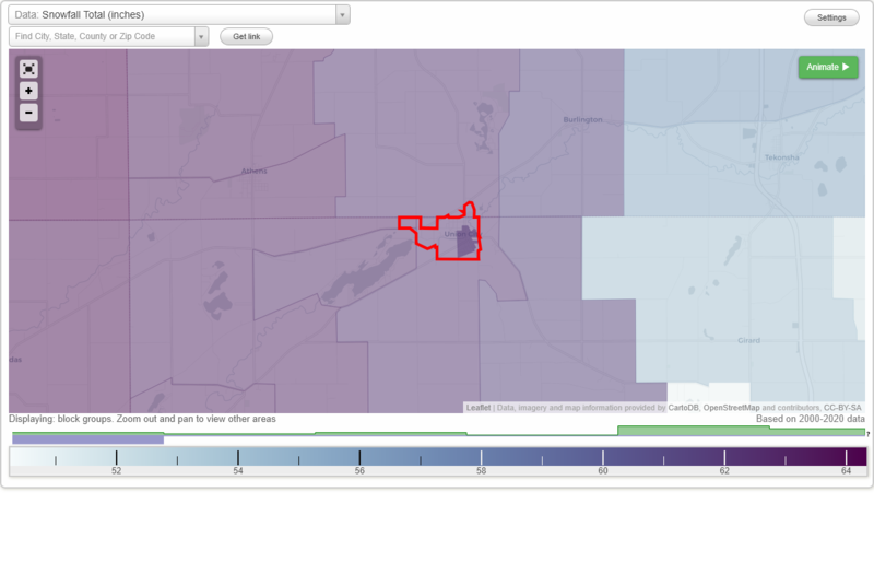
Snowfall Total (inches)
Temperature - Highest of record (°F)
Temperature - Lowest of record (°F)
Mean number of days with minimum temperature 32 °F or lower
Mean number of days with maximum temperature 90 °F or higher
Normal precipitation (inches)
Mean number of days with precipitation 0.01 inches or more
Maximum wind speed (MPH)
Normal daily mean temperature (°F)
Normal cooling degree days, Base 65 °F
Normal heating degree days, Base 65 °F
Normal daily maximum temperature (°F)
Normal daily minimum temperature (°F)
Average percent of possible sunshine (%)
Cloudiness - Mean number of days clear
Cloudiness - Mean number of days partly cloudy
Cloudiness - Mean number of days cloudy
Average relative humidity - Morning (%)
Average relative humidity - Evening (%)
Tornadoes in 1950-2018
Tornadoes in 1950-1954
Tornadoes in 1955-1959
Tornadoes in 1960-1964
Tornadoes in 1965-1969
Tornadoes in 1970-1974
Tornadoes in 1975-1979
Tornadoes in 1980-1984
Tornadoes in 1985-1989
Tornadoes in 1990-1994
Tornadoes in 1995-1999
Tornadoes in 2000-2004
Tornadoes in 2005-2009
Tornadoes in 2010-2014
Tornadoes in 2015-2018
Earthquakes in 2000
Earthquakes in 2001
Earthquakes in 2002
Earthquakes in 2003
Earthquakes in 2004
Earthquakes in 2005
Earthquakes in 2006
Earthquakes in 2007
Earthquakes in 2008
Earthquakes in 2009
Earthquakes in 2010
Earthquakes in 2011
Earthquakes in 2012
Earthquakes in 2013
Earthquakes in 2014
Earthquakes in 2015
Earthquakes in 2016
Earthquakes in 2017
Earthquakes in 2018
Earthquakes in 2019
Earthquakes in 2020
Earthquakes in 2000-2020
Snowfall Total (inches)
Temperature - Highest of record (°F)
Temperature - Lowest of record (°F)
Mean number of days with minimum temperature 32 °F or lower
Mean number of days with maximum temperature 90 °F or higher
Normal precipitation (inches)
Mean number of days with precipitation 0.01 inches or more
Maximum wind speed (MPH)
Normal daily mean temperature (°F)
Normal cooling degree days, Base 65 °F
Normal heating degree days, Base 65 °F
Normal daily maximum temperature (°F)
Normal daily minimum temperature (°F)
Average percent of possible sunshine (%)
Cloudiness - Mean number of days clear
Cloudiness - Mean number of days partly cloudy
Cloudiness - Mean number of days cloudy
Average relative humidity - Morning (%)
Average relative humidity - Evening (%)