Jump to a detailed profile or search site with Google Custom Search

Huntersville, North Carolina Neighborhood Map - Income, House Prices, Occupations, Boundaries


Settings
X
Data:
Click to activate map...
Based on 2000-2020 data
Loading data...

123
Hide US histogram
         - City boundary
         - Neighborhood boundaries


Neighborhoods:

Cabarrus Crossing, Crystal Creek, Pelham Pointe, Skybrook, Villages at Skybrook North


Cabarrus Crossing neighborhood in Huntersville statistics: (Find on map)

Area: 0.162 square miles


Roads and streets: Dry Stone Dr; Thousand Oaks Dr; Meadow Crossing Dr; Rustic Barn Dr; Slumber Oaks Ct.

Cabarrus Crossing neighborhood detailed profile
Crystal Creek neighborhood in Huntersville statistics: (Find on map)

Area: 0.069 square miles

Crystal Creek neighborhood detailed profile
Pelham Pointe neighborhood in Huntersville statistics: (Find on map)

Area: 0.089 square miles

Pelham Pointe neighborhood detailed profile
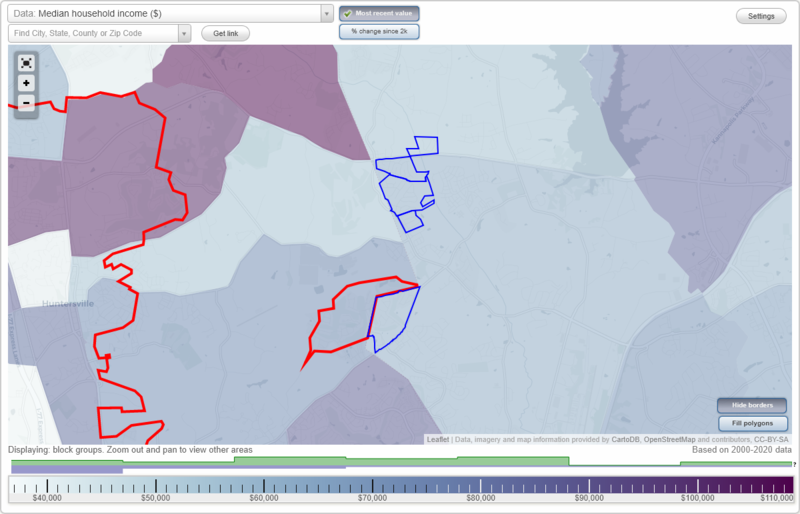
Skybrook neighborhood in Huntersville statistics: (Find on map)

Area: 0.383 square miles


Roads and streets: Brookline Dr; Northgreen Dr; Pinnacle Ln; Elmcrest Dr; N Oak Dr; Royalton Pl; Harris Rd (State Rd 1449).

Powerlines: Powerline.

Skybrook neighborhood detailed profile
Villages at Skybrook North neighborhood in Huntersville statistics: (Find on map)

Area: 0.297 square miles


Roads and streets: Edgepine Ln NW; Sandy Bottom Dr NW; Middlecrest Dr NW; Elsfield Ave NW.

Villages at Skybrook North neighborhood detailed profile
Table of Contents