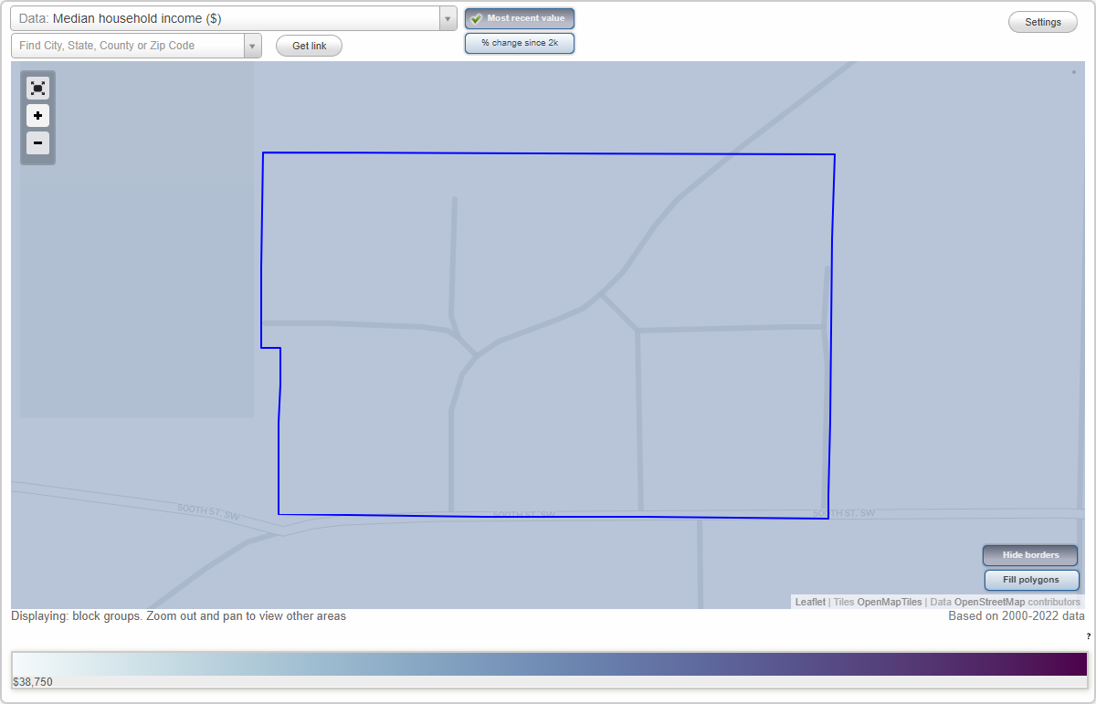
Kalona, Iowa Neighborhood Map - Income, House Prices, Occupations, Boundaries
Data:
- City boundary
- Neighborhood boundaries
Business Search - 14 Million verified businesses
- All U.S. Cities
- Iowa, IA smaller cities, IA small cities
- Kalona, IA
- US Neighborhood Maps
- Kalona, Iowa Neighborhood Map

