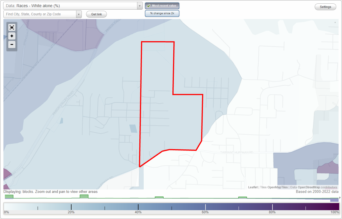
Brummit Heights neighborhood in Birmingham, Alabama (AL), 35217 detailed profile
Settings
X

Business Search - 14 Million verified businesses
Area: 0.401 square miles
City-data.com crime index for city in 2020 (higher means more crime):
| City: | 199.5 |
| U.S. average: | 219.5 |
Roads and streets:
Bates Ave
Length: 0.34 miles
Direction: N-S
Direction: N-S
Oak St
Length: 0.32 miles
Directions: E-W, N-S
Directions: E-W, N-S
Spice Ave
Length: 0.31 miles
Direction: N-S
Direction: N-S
Tarrant Huffman Rd (Co Rd 126, Bethel Ave)
Length: 0.27 miles
Directions: E-W, SW-NE
Address range: 2000 to 2199
Directions: E-W, SW-NE
Address range: 2000 to 2199
Elm St
Length: 0.26 miles
Direction: E-W
Direction: E-W
Pine St
Length: 0.25 miles
Direction: E-W
Address range: 1900 to 1999
Direction: E-W
Address range: 1900 to 1999
N Lake Ave
Length: 0.21 miles
Direction: E-W
Direction: E-W
Cedar St
Length: 0.21 miles
Direction: E-W
Address range: 2000 to 2013
Direction: E-W
Address range: 2000 to 2013
Mack Ave
Length: 0.20 miles
Direction: E-W
Direction: E-W
Cunningham St
Length: 0.20 miles
Direction: E-W
Address range: 2072 to 2099
Direction: E-W
Address range: 2072 to 2099
Thomas St
Length: 0.19 miles
Direction: E-W
Direction: E-W
Evergreen St
Length: 0.14 miles
Direction: E-W
Address range: 218 to 1998
Direction: E-W
Address range: 218 to 1998
Park St
Length: 0.13 miles
Directions: E-W, SW-NE
Directions: E-W, SW-NE
Larkin
Length: 0.11 miles
Directions: N-S, SE-NW, SW-NE
Directions: N-S, SE-NW, SW-NE
Beech St
Length: 0.10 miles
Directions: E-W, N-S, SW-NE
Directions: E-W, N-S, SW-NE
Tarrant Huffman Ln
Length: 0.08 miles
Direction: N-S
Direction: N-S
Weatherly Ave
Length: 0.05 miles
Direction: E-W
Direction: E-W
Short St
Length: 0.05 miles
Direction: N-S
Address range: 9600 to 9699
Direction: N-S
Address range: 9600 to 9699
98th St N
Length: 0.04 miles
Direction: E-W
Direction: E-W
Wood St
Length: 0.03 miles
Direction: N-S
Direction: N-S
Airport Rd
Length: 0.02 miles
Direction: SW-NE
Direction: SW-NE