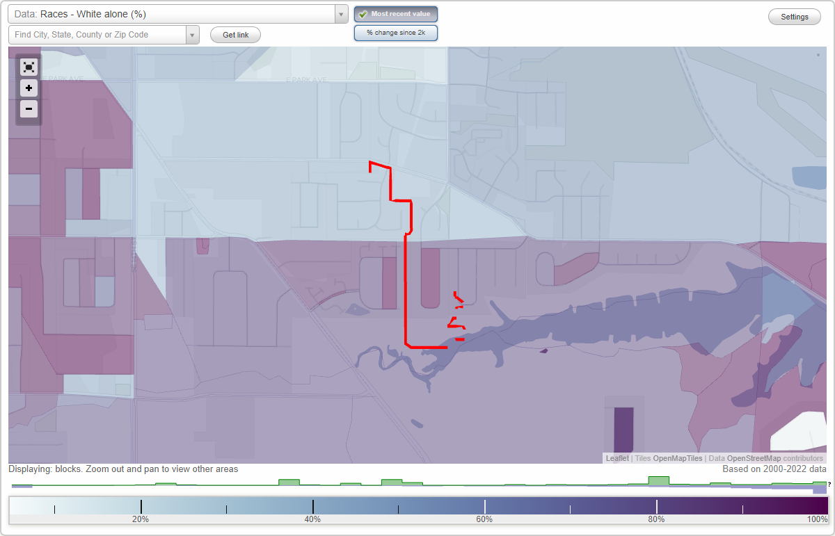
Ewing Woods neighborhood in Des Moines, Iowa (IA), 50320 detailed profile
Settings
X

Business Search - 14 Million verified businesses
Area: 0.054 square miles
City-data.com crime index for city in 2020 (higher means more crime):
| City: | 422.4 |
| U.S. average: | 219.5 |
Roads and streets:
E Maish Ave
Length: 0.28 miles
Directions: E-W, SE-NW, SW-NE
Address range: 1900 to 2199
Directions: E-W, SE-NW, SW-NE
Address range: 1900 to 2199
E Thornton Ct
Length: 0.18 miles
Direction: E-W
Address range: 1900 to 1999
Direction: E-W
Address range: 1900 to 1999
SE 19th St
Length: 0.16 miles
Direction: N-S
Address range: 2152 to 2299
Direction: N-S
Address range: 2152 to 2299
Thorton Ct
Length: 0.11 miles
Direction: E-W
Address range: 1900 to 1943
Direction: E-W
Address range: 1900 to 1943
SE 21st Ct
Length: 0.06 miles
Direction: N-S
Address range: 3700 to 3799
Direction: N-S
Address range: 3700 to 3799
SE 21st St
Length: 0.06 miles
Direction: N-S
Address range: 3712 to 3723
Direction: N-S
Address range: 3712 to 3723
SE 19th Ct
Length: 0.03 miles
Direction: N-S
Address range: 3510 to 3799
Direction: N-S
Address range: 3510 to 3799
E Thornton Ave
Length: 0.02 miles
Direction: E-W
Address range: 1900 to 1999
Direction: E-W
Address range: 1900 to 1999