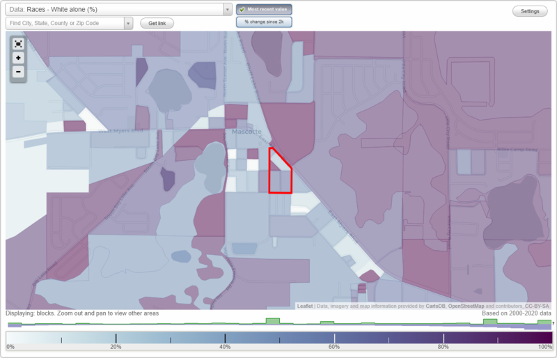
Mascotte Heights neighborhood in Mascotte, Florida (FL), 34753 detailed profile
Settings
X

Business Search - 14 Million verified businesses
Area: 0.025 square miles
City-data.com crime index for city in 2020 (higher means more crime):
| City: | 318.0 |
| U.S. average: | 219.5 |
Highways in this neighborhood:
State Hwy 50 (State Rd 33, E Myers Blvd)
Length: 0.13 miles
Direction: SE-NW
Direction: SE-NW
Roads and streets:
Ashmore Ave
Length: 0.12 miles
Directions: N-S, SE-NW
Address range: 314 to 398
Directions: N-S, SE-NW
Address range: 314 to 398
Wildwood Ave
Length: 0.12 miles
Direction: N-S
Address range: 301 to 369
Direction: N-S
Address range: 301 to 369
Pearl St
Length: 0.09 miles
Direction: E-W
Address range: 500 to 599
Direction: E-W
Address range: 500 to 599
Blett St
Length: 0.07 miles
Direction: E-W
Address range: 500 to 514
Direction: E-W
Address range: 500 to 514