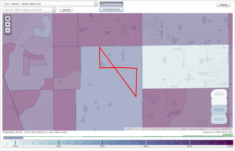
Shelbourne Estates neighborhood in Westfield, Indiana (IN), 46077 detailed profile
Settings
X

Business Search - 14 Million verified businesses
Area: 0.059 square miles
City-data.com crime index for town in 2020 (higher means more crime):
| City: | 45.4 |
| U.S. average: | 219.5 |
Roads and streets:
Airhart Blvd
Length: 0.21 miles
Directions: N-S, SW-NE
Directions: N-S, SW-NE
Buford Dr
Length: 0.20 miles
Directions: E-W, SW-NE
Directions: E-W, SW-NE
Thurmond Way
Length: 0.18 miles
Directions: N-S, SE-NW, SW-NE
Directions: N-S, SE-NW, SW-NE
Pontell Pl
Length: 0.17 miles
Directions: N-S, SE-NW
Directions: N-S, SE-NW
Tolbert Pl
Length: 0.06 miles
Directions: E-W, SE-NW
Directions: E-W, SE-NW
Yancey Pl
Length: 0.05 miles
Direction: E-W
Direction: E-W